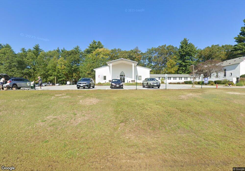
646 Daniel Webster Hwy Merrimack, NH 03054
--
Bed
2
Baths
16,836
Sq Ft
4.89
Acres
About This Home
This home is located at 646 Daniel Webster Hwy, Merrimack, NH 03054. 646 Daniel Webster Hwy is a home located in Hillsborough County with nearby schools including Reeds Ferry School, James Mastricola Upper Elementary School, and Merrimack Middle School.
Ownership History
Date
Name
Owned For
Owner Type
Purchase Details
Closed on
Jan 9, 2013
Sold by
Saint James United Met
Bought by
Saint James United Met
Home Financials for this Owner
Home Financials are based on the most recent Mortgage that was taken out on this home.
Original Mortgage
$76,997
Outstanding Balance
$53,511
Interest Rate
3.36%
Mortgage Type
Commercial
Purchase Details
Closed on
May 25, 1987
Bought by
Saint James United Meth
Create a Home Valuation Report for This Property
The Home Valuation Report is an in-depth analysis detailing your home's value as well as a comparison with similar homes in the area
Home Values in the Area
Average Home Value in this Area
Purchase History
| Date | Buyer | Sale Price | Title Company |
|---|---|---|---|
| Saint James United Met | -- | -- | |
| Saint James United Met | -- | -- | |
| Saint James United Met | -- | -- | |
| Saint James United Meth | -- | -- |
Source: Public Records
Mortgage History
| Date | Status | Borrower | Loan Amount |
|---|---|---|---|
| Open | Saint James United Met | $76,997 | |
| Closed | Saint James United Meth | $76,997 | |
| Previous Owner | Saint James United Meth | $150,000 |
Source: Public Records
Tax History Compared to Growth
Tax History
| Year | Tax Paid | Tax Assessment Tax Assessment Total Assessment is a certain percentage of the fair market value that is determined by local assessors to be the total taxable value of land and additions on the property. | Land | Improvement |
|---|---|---|---|---|
| 2024 | $45,326 | $2,190,700 | $555,200 | $1,635,500 |
| 2023 | $0 | $2,190,700 | $555,200 | $1,635,500 |
| 2022 | $0 | $2,190,700 | $555,200 | $1,635,500 |
| 2021 | $0 | $2,190,700 | $555,200 | $1,635,500 |
| 2020 | $0 | $1,771,100 | $324,200 | $1,446,900 |
| 2019 | $0 | $1,771,100 | $324,200 | $1,446,900 |
| 2018 | $0 | $1,771,100 | $324,200 | $1,446,900 |
| 2017 | $0 | $1,771,100 | $324,200 | $1,446,900 |
| 2016 | $0 | $1,699,300 | $324,200 | $1,375,100 |
| 2015 | -- | $1,432,200 | $384,200 | $1,048,000 |
| 2014 | -- | $1,432,200 | $384,200 | $1,048,000 |
| 2013 | -- | $1,432,200 | $384,200 | $1,048,000 |
Source: Public Records
Map
Nearby Homes
- 29 Bedford Rd
- 22 Kimberly Dr
- 1 Pleasant St
- 490 Charles Bancroft Hwy
- 19 Vista Way
- 9 Mustang Dr Unit C
- 9 Mustang Dr Unit B
- 7 Mustang Dr Unit C
- 7 Mustang Dr Unit END UNIT-A
- 3-C Mustang Dr Unit MODEL
- 10 Kingston Ct Unit 10
- 11 Essex Green Ct
- 22 Essex Green Ct
- 12 Clinton Ct
- 38 Mallard Point
- 31 Garden Dr
- 5 Barbie Ct
- 25 Chatfield Dr
- 29 Watts Landing Unit 24
- 1 Tallarico St Unit 14
- 641 Dw Hwy
- 650 Daniel Webster Hwy
- 30 Back River Rd
- 26 Back River Rd
- 652 Daniel Webster Hwy
- 637 Daniel Webster Hwy
- 28 Back River Rd
- 24 Back River Rd
- 22 Back River Rd
- 2 Brookfield Dr
- 654 Daniel Webster Hwy
- 20 Back River Rd
- 3 Brookfield Dr
- 636 Daniel Webster Hwy
- 21 Bradford Dr
- 19 Bradford Dr
- 17 Bradford Dr
- 18 Back River Rd
- 4 Brookfield Dr
- 15 Bradford Dr