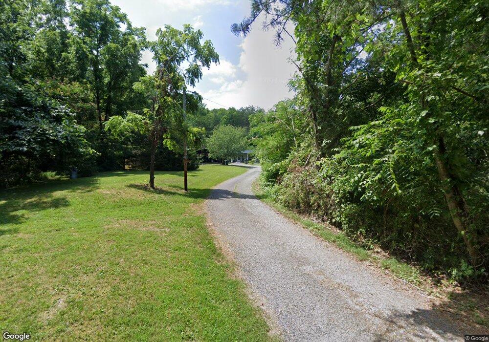
646 Keeton Ln Oneida, TN 37841
Estimated Value: $128,000 - $191,000
--
Bed
1
Bath
1,238
Sq Ft
$117/Sq Ft
Est. Value
About This Home
This home is located at 646 Keeton Ln, Oneida, TN 37841 and is currently estimated at $145,387, approximately $117 per square foot. 646 Keeton Ln is a home located in Scott County with nearby schools including Oneida Elementary School, Oneida Middle School, and Oneida High School.
Ownership History
Date
Name
Owned For
Owner Type
Purchase Details
Closed on
Jun 24, 2021
Sold by
Keeton Roger
Bought by
Highland Telephone Cooperative
Current Estimated Value
Purchase Details
Closed on
Sep 21, 2010
Sold by
Keeton Hurstle
Bought by
Keeton Roger
Purchase Details
Closed on
Oct 5, 1989
Bought by
Keeton Hurstle and Keeton Joretta
Purchase Details
Closed on
Apr 1, 1971
Bought by
Keeton Roger and Keeton Bernice
Create a Home Valuation Report for This Property
The Home Valuation Report is an in-depth analysis detailing your home's value as well as a comparison with similar homes in the area
Home Values in the Area
Average Home Value in this Area
Purchase History
| Date | Buyer | Sale Price | Title Company |
|---|---|---|---|
| Highland Telephone Cooperative | $10,000 | None Listed On Document | |
| Keeton Roger | -- | -- | |
| Keeton Hurstle | $25,000 | -- | |
| Keeton Roger | -- | -- |
Source: Public Records
Tax History Compared to Growth
Tax History
| Year | Tax Paid | Tax Assessment Tax Assessment Total Assessment is a certain percentage of the fair market value that is determined by local assessors to be the total taxable value of land and additions on the property. | Land | Improvement |
|---|---|---|---|---|
| 2024 | $476 | $24,250 | $10,650 | $13,600 |
| 2023 | $476 | $24,250 | $10,650 | $13,600 |
| 2022 | $360 | $12,200 | $4,250 | $7,950 |
| 2021 | $298 | $12,200 | $4,250 | $7,950 |
| 2020 | $360 | $12,200 | $4,250 | $7,950 |
| 2019 | $360 | $12,200 | $4,250 | $7,950 |
| 2018 | $360 | $12,200 | $4,250 | $7,950 |
| 2017 | $392 | $13,275 | $4,250 | $9,025 |
| 2016 | $380 | $13,275 | $4,250 | $9,025 |
| 2015 | $364 | $13,275 | $4,250 | $9,025 |
| 2014 | $364 | $13,275 | $4,250 | $9,025 |
Source: Public Records
Map
Nearby Homes
- 145 Shelton Ln
- 103 Shelton Ln
- 610 Paint Rock Rd
- 121 Sexton Ln
- 5821 Buffalo Rd
- 0 Buffalo Rd Unit 1310923
- 0 Buffalo Rd Unit 23634322
- 0 Buffalo Rd Unit 11503602
- 200 Burnett Ln
- 120 Wright St
- 342 Vine Ave
- 276 Parkview Dr
- 18741 Alberta St
- 420 Southern Ln
- 126 Pullman Ln
- 1050 Jane Phillips Rd
- 0 Paint Rock Creek
- 0 Cook Ave
- Lot 27-28 Summit Dr
- Lot 25-26 Summit Dr
- 515 Keeton Ln
- 570 Nancy Duncan Rd
- 416 Keeton Ln
- 402 Keeton Ln
- 300 Stephens Ln
- 557 Pentecost Rd
- 1827 Paint Rock Rd
- 161 Emily Ln
- 161 Emily Ln
- 337 Keeton Ln
- 241 Stephens Ln
- 277 Emily Ln
- 361 Pentecost Rd
- 559 Sexton Ln
- 165 Lovett St
- 166 Shelton Ln
- 435 Sexton Ln
- 315 Pentecost Rd
- 170 Keeton Ln
- 727 Sexton Ln
