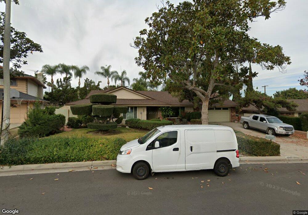
647 Locust St Corona, CA 92879
Central Corona NeighborhoodEstimated Value: $779,704 - $868,000
About This Home
This home is located at 647 Locust St, Corona, CA 92879 and is currently estimated at $819,926, approximately $379 per square foot. 647 Locust St is a home located in Riverside County with nearby schools including Garretson Elementary School, Auburndale Intermediate, and Centennial High School.
Ownership History
We collect this data history from publicly available records. To have your information removed, we recommend requesting removal directly through your county’s website.
Purchase Details
Home Financials for this Owner
Home Financials are based on the most recent Mortgage that was taken out on this home.Purchase Details
Purchase Details
Home Financials for this Owner
Home Financials are based on the most recent Mortgage that was taken out on this home.Home Values in the Area
Average Home Value in this Area
Purchase History
We collect this data history from publicly available records. To have your information removed, we recommend requesting removal directly through your county’s website.
| Date | Buyer | Sale Price | Title Company |
|---|---|---|---|
| -- | Equity Title Company | ||
| -- | -- | ||
| -- | Fidelity National Title Ins |
Mortgage History
We collect this data history from publicly available records. To have your information removed, we recommend requesting removal directly through your county’s website.
| Date | Status | Borrower | Loan Amount |
|---|---|---|---|
| Closed | $111,100 | ||
| Closed | $42,000 |
Tax History
We collect this data history from publicly available records. To have your information removed, we recommend requesting removal directly through your county’s website.
| Year | Tax Paid | Tax Assessment Tax Assessment Total Assessment is a certain percentage of the fair market value that is determined by local assessors to be the total taxable value of land and additions on the property. | Land | Improvement |
|---|---|---|---|---|
| 2025 | $1,615 | $147,096 | $32,662 | $114,434 |
| 2023 | $1,615 | $141,387 | $31,395 | $109,992 |
| 2022 | $1,563 | $138,616 | $30,780 | $107,836 |
| 2021 | $1,531 | $135,899 | $30,177 | $105,722 |
| 2020 | $1,514 | $134,506 | $29,868 | $104,638 |
| 2019 | $1,479 | $131,870 | $29,283 | $102,587 |
| 2018 | $1,446 | $129,285 | $28,709 | $100,576 |
| 2017 | $1,411 | $126,751 | $28,147 | $98,604 |
| 2016 | $1,396 | $124,267 | $27,596 | $96,671 |
| 2015 | $1,366 | $122,403 | $27,183 | $95,220 |
| 2014 | $1,318 | $120,006 | $26,651 | $93,355 |
Map
- 1710 Garretson Ave
- 1429 Garretson Ave
- 1410 Kellogg Ave
- 1926 S Starfire Ave
- 305 E Citron St
- 1979 S Sundance Cir
- 1205 Lime St
- 2169 Garretson Ave
- 645 Lancer Ln
- 109 E Francis St
- 828 Tangerine St
- 844 Tangerine St
- 2172 Kellogg Ave
- 938 Ford St
- 946 Cedar St
- 941 Inn Keeper Ln Unit D
- 1185 W Grand Blvd
- 1241 Elm St
- 385 Burr St
- 1849 Cook Cir
Ask me questions while you tour the home.