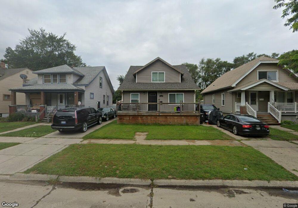
6470 Westpoint St Taylor, MI 48180
Estimated Value: $161,112 - $207,000
4
Beds
1
Bath
1,400
Sq Ft
$131/Sq Ft
Est. Value
About This Home
This home is located at 6470 Westpoint St, Taylor, MI 48180 and is currently estimated at $183,028, approximately $130 per square foot. 6470 Westpoint St is a home located in Wayne County with nearby schools including Clarence Randall Elementary School, Hoover Middle School, and West Village Academy.
Ownership History
Date
Name
Owned For
Owner Type
Purchase Details
Closed on
Dec 1, 2016
Sold by
Roe Krystal
Bought by
Selders David M
Current Estimated Value
Purchase Details
Closed on
Sep 10, 2008
Sold by
Mortgage Electronic Registration Systems
Bought by
Countrywide Home Loans Inc
Purchase Details
Closed on
Sep 4, 2008
Sold by
Conklin Daniel A
Bought by
Mortgage Electronic Registration Systems
Purchase Details
Closed on
Jan 14, 2004
Sold by
Long Jeff A and Long Laura
Bought by
Jp Morgan Chase Bank
Purchase Details
Closed on
Feb 21, 2002
Sold by
Mazzie Anthony
Bought by
Long Jeff A
Create a Home Valuation Report for This Property
The Home Valuation Report is an in-depth analysis detailing your home's value as well as a comparison with similar homes in the area
Home Values in the Area
Average Home Value in this Area
Purchase History
| Date | Buyer | Sale Price | Title Company |
|---|---|---|---|
| Selders David M | $1,000 | None Available | |
| Countrywide Home Loans Inc | -- | None Available | |
| Mortgage Electronic Registration Systems | $34,000 | None Available | |
| Jp Morgan Chase Bank | $78,188 | -- | |
| Long Jeff A | -- | -- |
Source: Public Records
Tax History
| Year | Tax Paid | Tax Assessment Tax Assessment Total Assessment is a certain percentage of the fair market value that is determined by local assessors to be the total taxable value of land and additions on the property. | Land | Improvement |
|---|---|---|---|---|
| 2025 | $1,651 | $72,200 | $0 | $0 |
| 2024 | $1,599 | $64,900 | $0 | $0 |
| 2023 | $1,992 | $61,600 | $0 | $0 |
| 2022 | $1,526 | $59,300 | $0 | $0 |
| 2021 | $3,074 | $52,800 | $0 | $0 |
| 2020 | $2,409 | $43,100 | $0 | $0 |
| 2019 | $238,942 | $39,400 | $0 | $0 |
| 2018 | $1,310 | $36,400 | $0 | $0 |
| 2017 | $2,573 | $32,600 | $0 | $0 |
| 2016 | $2,377 | $31,600 | $0 | $0 |
| 2015 | $2,960 | $29,600 | $0 | $0 |
| 2013 | $3,010 | $31,500 | $0 | $0 |
| 2012 | $2,023 | $30,300 | $4,700 | $25,600 |
Source: Public Records
Map
Nearby Homes
- 6462 Westpoint St
- 6478 Westpoint St
- 6454 Westpoint St
- 6486 Westpoint St
- 6446 Westpoint St
- 6506 Westpoint St
- 6438 Westpoint St
- 6512 Westpoint St
- 6469 Westpoint St
- 6477 Westpoint St
- 6461 Westpoint St
- 6485 Westpoint St
- 6453 Westpoint St
- 6522 Westpoint St
- 6430 Westpoint St
- 6447 Westpoint St
- 6505 Westpoint St
- 6437 Westpoint St
- 6511 Westpoint St Unit Bldg-Unit
- 6511 Westpoint St
Your Personal Tour Guide
Ask me questions while you tour the home.