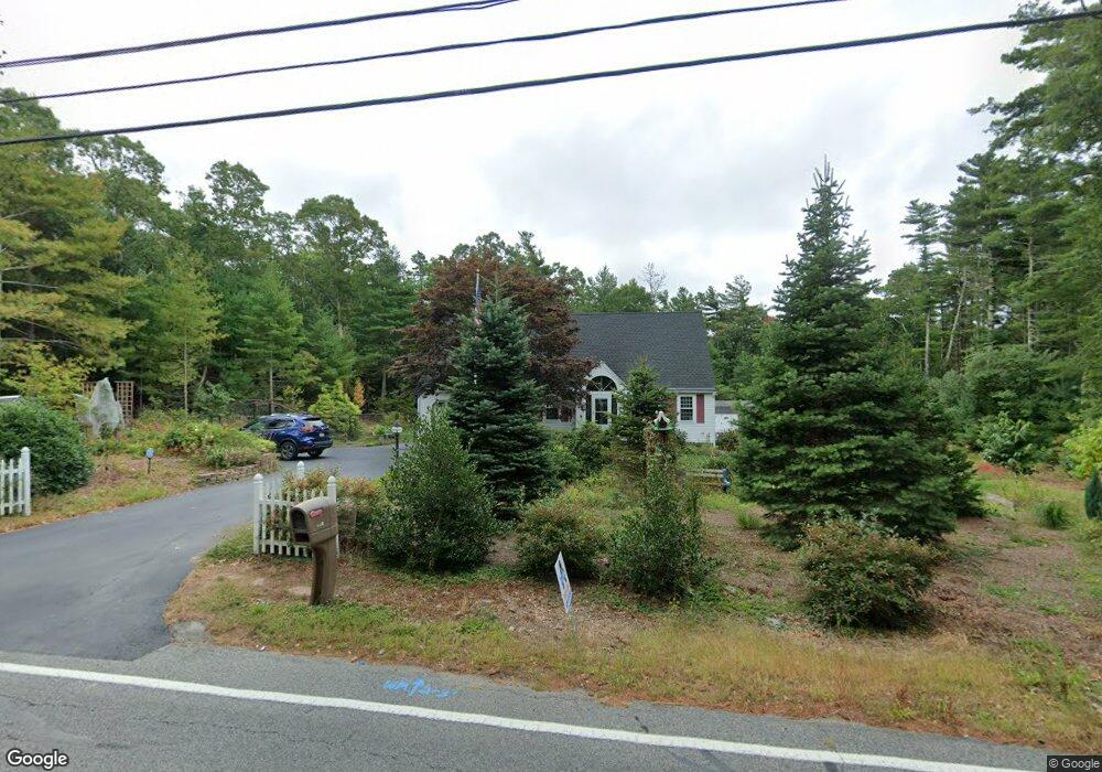
650 Old Barnstable Rd Mashpee, MA 02649
Estimated Value: $751,000 - $916,000
3
Beds
3
Baths
2,186
Sq Ft
$375/Sq Ft
Est. Value
About This Home
This home is located at 650 Old Barnstable Rd, Mashpee, MA 02649 and is currently estimated at $819,367, approximately $374 per square foot. 650 Old Barnstable Rd is a home located in Barnstable County with nearby schools including Kenneth C. Coombs School, Quashnet School, and Mashpee Middle School.
Ownership History
Date
Name
Owned For
Owner Type
Purchase Details
Closed on
Dec 19, 1995
Sold by
Plugge Robert H
Bought by
Swanson Steven P and Swanson Debra J
Current Estimated Value
Home Financials for this Owner
Home Financials are based on the most recent Mortgage that was taken out on this home.
Original Mortgage
$155,350
Interest Rate
7.43%
Mortgage Type
Purchase Money Mortgage
Create a Home Valuation Report for This Property
The Home Valuation Report is an in-depth analysis detailing your home's value as well as a comparison with similar homes in the area
Purchase History
| Date | Buyer | Sale Price | Title Company |
|---|---|---|---|
| Swanson Steven P | $155,395 | -- |
Source: Public Records
Mortgage History
| Date | Status | Borrower | Loan Amount |
|---|---|---|---|
| Open | Swanson Steven P | $203,000 | |
| Closed | Swanson Steven P | $30,000 | |
| Closed | Swanson Steven P | $155,350 |
Source: Public Records
Tax History
| Year | Tax Paid | Tax Assessment Tax Assessment Total Assessment is a certain percentage of the fair market value that is determined by local assessors to be the total taxable value of land and additions on the property. | Land | Improvement |
|---|---|---|---|---|
| 2025 | $4,514 | $681,800 | $231,700 | $450,100 |
| 2024 | $4,113 | $639,600 | $210,700 | $428,900 |
| 2023 | $3,840 | $547,800 | $200,600 | $347,200 |
| 2022 | $3,656 | $447,500 | $163,100 | $284,400 |
| 2021 | $2,807 | $395,500 | $146,900 | $248,600 |
| 2020 | $2,745 | $380,600 | $141,300 | $239,300 |
| 2019 | $3,312 | $366,000 | $141,300 | $224,700 |
| 2018 | $3,163 | $354,600 | $141,300 | $213,300 |
| 2017 | $2,293 | $332,100 | $144,000 | $188,100 |
| 2016 | $2,966 | $321,000 | $144,000 | $177,000 |
| 2015 | $2,855 | $313,400 | $144,000 | $169,400 |
| 2014 | $2,921 | $311,100 | $142,200 | $168,900 |
Source: Public Records
Map
Nearby Homes
- 54 Sassacus Rd
- 25 Pond View Dr
- 300 Nathan Ellis Hwy Unit 50
- 20 Twin Oaks Dr
- 20 Twin Oaks Dr Unit 20
- 17 Twin Oaks Dr Unit 17
- 44 Twin Oaks Dr Unit 44
- 44 Twin Oaks Dr
- 33 Twin Oaks Dr Unit 33
- 23 Sea Spray Ave Unit 563
- 23 Sea Spray Ave
- 211 James Cir
- 160 Algonquin Ave
- 64 Ashton Ave
- 168 Ninigret Ave
- 10 Kettle Ln
- 114 Doran Dr
- 5 Kettle Ln Unit 38
- 50 Pine Hill Blvd Unit 46
- 50 Pine Hill Blvd
- 676 Old Barnstable Rd
- 8 Leather Leaf Ln
- 649 Old Barnstable Rd
- 645 Old Barnstable Rd
- 653 Old Barnstable Rd
- 646 Old Barnstable Rd
- 572 Bates Rd
- 641 Old Barnstable Rd
- 640 Old Barnstable Rd
- 1 Leather Leaf Ln
- 686 Old Barnstable Rd
- 24 Leather Leaf Ln
- 657 Old Barnstable Rd
- 637 Old Barnstable Rd
- 630 Old Barnstable Rd
- 8 Bog River Bend
- 30 Leather Leaf Ln
- 23 Leather Leaf Ln
- 692 Old Barnstable Rd
- 11 Leather Leaf Ln