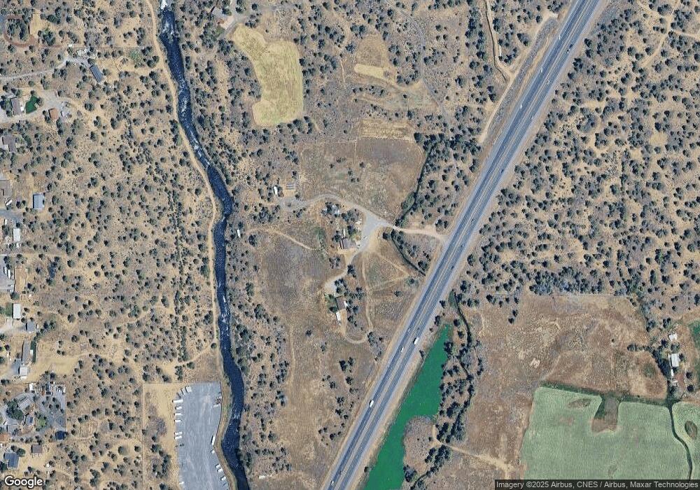
Estimated Value: $679,000 - $1,112,000
3
Beds
3
Baths
1,786
Sq Ft
$513/Sq Ft
Est. Value
About This Home
This home is located at 65385 N Highway 97, Bend, OR 97701 and is currently estimated at $916,956, approximately $513 per square foot. 65385 N Highway 97 is a home with nearby schools including Tumalo Community School, Obsidian Middle School, and Ridgeview High School.
Ownership History
Date
Name
Owned For
Owner Type
Purchase Details
Closed on
Jun 24, 2013
Sold by
Kirzy Bill
Bought by
Kirzy William Edward
Current Estimated Value
Home Financials for this Owner
Home Financials are based on the most recent Mortgage that was taken out on this home.
Original Mortgage
$247,500
Outstanding Balance
$175,380
Interest Rate
3.48%
Mortgage Type
New Conventional
Estimated Equity
$741,576
Purchase Details
Closed on
Jul 14, 2011
Sold by
Kirzy Daniel C and Purcell Suzanne
Bought by
Kirzy Bill
Home Financials for this Owner
Home Financials are based on the most recent Mortgage that was taken out on this home.
Original Mortgage
$163,400
Interest Rate
4.46%
Mortgage Type
Unknown
Create a Home Valuation Report for This Property
The Home Valuation Report is an in-depth analysis detailing your home's value as well as a comparison with similar homes in the area
Home Values in the Area
Average Home Value in this Area
Purchase History
| Date | Buyer | Sale Price | Title Company |
|---|---|---|---|
| Kirzy William Edward | -- | Amerititle | |
| Kirzy Bill | $300,000 | First American Title |
Source: Public Records
Mortgage History
| Date | Status | Borrower | Loan Amount |
|---|---|---|---|
| Open | Kirzy William Edward | $247,500 | |
| Closed | Kirzy Bill | $163,400 |
Source: Public Records
Tax History Compared to Growth
Tax History
| Year | Tax Paid | Tax Assessment Tax Assessment Total Assessment is a certain percentage of the fair market value that is determined by local assessors to be the total taxable value of land and additions on the property. | Land | Improvement |
|---|---|---|---|---|
| 2025 | $3,876 | $247,116 | -- | -- |
| 2024 | $3,729 | $241,366 | -- | -- |
| 2023 | $3,529 | $234,586 | $0 | $0 |
| 2022 | $3,250 | $221,616 | $0 | $0 |
| 2021 | $3,253 | $184,316 | $0 | $0 |
| 2020 | $316 | $184,316 | $0 | $0 |
| 2019 | $2,575 | $179,196 | $0 | $0 |
| 2018 | $2,515 | $174,086 | $0 | $0 |
| 2017 | $2,463 | $169,266 | $0 | $0 |
| 2016 | $2,439 | $164,585 | $0 | $0 |
| 2015 | $2,367 | $160,044 | $0 | $0 |
| 2014 | $2,308 | $155,594 | $0 | $0 |
Source: Public Records
Map
Nearby Homes
- 65605 61st St
- 65432 78th St
- 65415 78th St
- 65140 78th St
- 21085 Arid Ave
- 65299 85th St
- 65043 85th St
- 21115 Young Ave
- 65050 92nd St
- 65280 94th St
- 20766 S Loop Place
- 3375 SW 77th St
- 64769 Saros Ln
- 64401 Deschutes Market Rd
- 64900 Hunnell Rd Unit 51
- 65055 Old Bend Redmond Hwy
- 64950 Glacier View Dr
- 0 Tumalo Rd
- 20440 Swalley Rd
- 64492 Sylvan Loop
- 65315 N Highway 97
- 65305 N Hwy 97
- 65390 NE 73rd
- 65301 N Hwy 97
- 65380 73rd St
- 65404 73rd St
- 65364 73rd St
- 65468 73rd St
- 1123 N Highway 97
- 2310 N Highway 97
- 2375 N Highway 97
- 1397 N Highway 97
- 1938 N Highway 97
- 65395 Deschutes Pleasant Ridge Rd
- 65336 73rd St
- 65352 73rd St
- 65456 73rd St
- 65444 73rd St
- 21336 Limestone Ave
- 65480 73rd St
