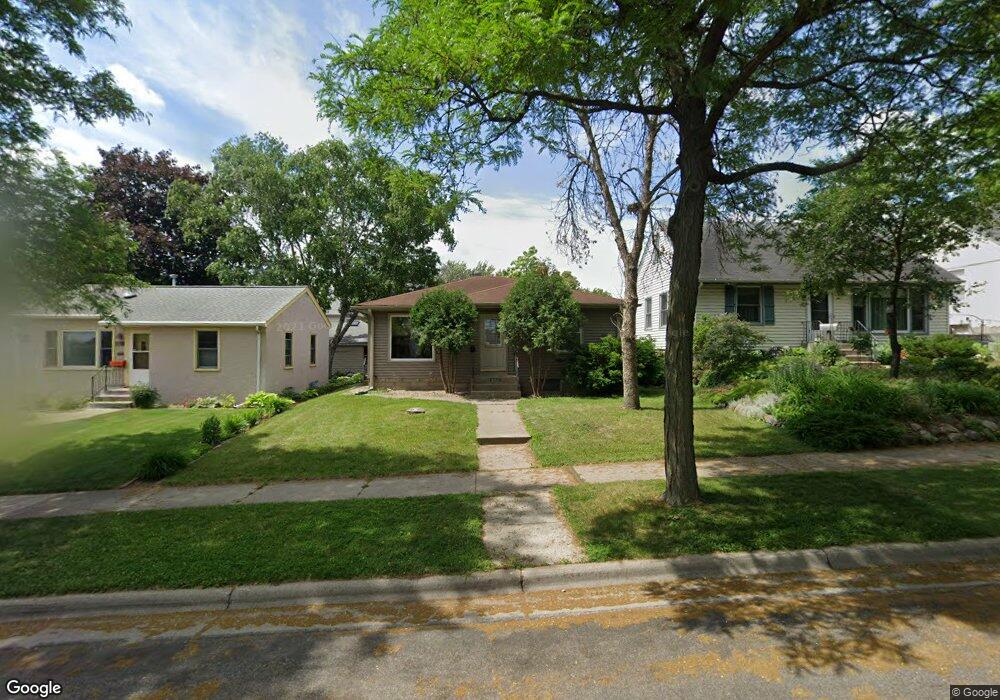
654 Simon Ave Saint Paul, MN 55117
Como Park NeighborhoodEstimated Value: $211,000 - $270,000
2
Beds
1
Bath
490
Sq Ft
$516/Sq Ft
Est. Value
About This Home
This home is located at 654 Simon Ave, Saint Paul, MN 55117 and is currently estimated at $252,796, approximately $515 per square foot. 654 Simon Ave is a home located in Ramsey County with nearby schools including Como Park Elementary School, Murray Middle School, and Como Park Senior High School.
Ownership History
Date
Name
Owned For
Owner Type
Purchase Details
Closed on
May 27, 2016
Bought by
Her Patrick Patrick
Current Estimated Value
Purchase Details
Closed on
May 19, 2014
Sold by
Bank Of America National Association
Bought by
Christian Trust and Arlp Trust 3
Purchase Details
Closed on
Mar 13, 2014
Sold by
Braumberger Mark E
Bought by
Bank Of America National Association
Purchase Details
Closed on
Sep 19, 2003
Sold by
Pearson Jack and Pearson Sandra
Bought by
Braumberger Mark E
Create a Home Valuation Report for This Property
The Home Valuation Report is an in-depth analysis detailing your home's value as well as a comparison with similar homes in the area
Home Values in the Area
Average Home Value in this Area
Purchase History
| Date | Buyer | Sale Price | Title Company |
|---|---|---|---|
| Her Patrick Patrick | $127,800 | -- | |
| Christian Trust | -- | None Available | |
| Bank Of America National Association | $235,388 | None Available | |
| Braumberger Mark E | $159,900 | -- |
Source: Public Records
Tax History Compared to Growth
Tax History
| Year | Tax Paid | Tax Assessment Tax Assessment Total Assessment is a certain percentage of the fair market value that is determined by local assessors to be the total taxable value of land and additions on the property. | Land | Improvement |
|---|---|---|---|---|
| 2025 | $3,448 | $256,300 | $35,700 | $220,600 |
| 2023 | $3,448 | $232,500 | $35,700 | $196,800 |
| 2022 | $3,172 | $231,700 | $35,700 | $196,000 |
| 2021 | $2,974 | $203,100 | $35,700 | $167,400 |
| 2020 | $3,108 | $204,200 | $35,700 | $168,500 |
| 2019 | $2,610 | $196,600 | $35,700 | $160,900 |
| 2018 | $2,366 | $169,600 | $35,700 | $133,900 |
| 2017 | $2,762 | $160,700 | $28,600 | $132,100 |
| 2016 | $3,154 | $0 | $0 | $0 |
| 2015 | $2,442 | $171,400 | $28,600 | $142,800 |
| 2014 | $2,338 | $0 | $0 | $0 |
Source: Public Records
Map
Nearby Homes
- 1063 Dale St N
- 705 Como Ave
- 569 Hatch Ave
- 352 Como Ave
- 1049 Kent St
- 740 Como Ave
- 552 Burgess St
- 1104 MacKubin St
- 1165 Norton St
- 766 Maryland Ave W
- 989 Barrett St
- 1241 Maywood St
- 1176 Norton St
- 1040 Cumberland St
- 1175 Arundel St
- 1083 Western Ave N
- 1005 Como Blvd E
- 895 Front Ave
- 1038 Colne St
- 956 Western Ave N