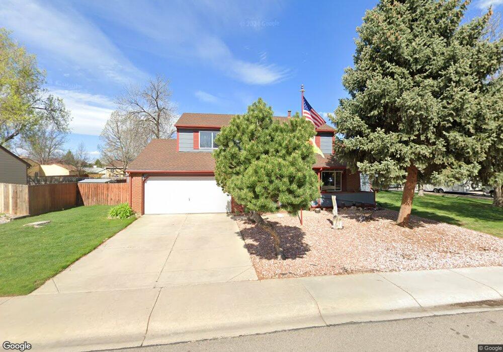
655 Zuni Cir Fort Collins, CO 80526
Woodwest NeighborhoodEstimated Value: $593,000 - $687,000
4
Beds
4
Baths
2,098
Sq Ft
$300/Sq Ft
Est. Value
About This Home
This home is located at 655 Zuni Cir, Fort Collins, CO 80526 and is currently estimated at $629,063, approximately $299 per square foot. 655 Zuni Cir is a home located in Larimer County with nearby schools including Beattie Elementary School, Blevins Middle School, and Rocky Mountain High School.
Ownership History
Date
Name
Owned For
Owner Type
Purchase Details
Closed on
Mar 27, 2024
Sold by
Robinson Jay S and Robinson Mary R
Bought by
Robinson Trust
Current Estimated Value
Purchase Details
Closed on
Sep 4, 1998
Sold by
Reese David A
Bought by
Robinson Jay S and Robinson Mary R
Home Financials for this Owner
Home Financials are based on the most recent Mortgage that was taken out on this home.
Original Mortgage
$95,000
Interest Rate
6.93%
Purchase Details
Closed on
Mar 1, 1992
Sold by
Maheras Mary Chris
Bought by
Reese Robin L
Create a Home Valuation Report for This Property
The Home Valuation Report is an in-depth analysis detailing your home's value as well as a comparison with similar homes in the area
Home Values in the Area
Average Home Value in this Area
Purchase History
| Date | Buyer | Sale Price | Title Company |
|---|---|---|---|
| Robinson Trust | -- | None Listed On Document | |
| Robinson Jay S | $151,500 | Stewart Title | |
| Reese Robin L | $100,000 | -- |
Source: Public Records
Mortgage History
| Date | Status | Borrower | Loan Amount |
|---|---|---|---|
| Previous Owner | Robinson Jay S | $95,000 |
Source: Public Records
Tax History Compared to Growth
Tax History
| Year | Tax Paid | Tax Assessment Tax Assessment Total Assessment is a certain percentage of the fair market value that is determined by local assessors to be the total taxable value of land and additions on the property. | Land | Improvement |
|---|---|---|---|---|
| 2025 | $3,375 | $38,860 | $3,015 | $35,845 |
| 2024 | $3,211 | $38,860 | $3,015 | $35,845 |
| 2022 | $3,089 | $32,714 | $3,128 | $29,586 |
| 2021 | $3,122 | $33,656 | $3,218 | $30,438 |
| 2020 | $2,966 | $31,704 | $3,218 | $28,486 |
| 2019 | $2,979 | $31,704 | $3,218 | $28,486 |
| 2018 | $2,362 | $25,920 | $3,240 | $22,680 |
| 2017 | $2,354 | $25,920 | $3,240 | $22,680 |
| 2016 | $1,998 | $21,890 | $3,582 | $18,308 |
| 2015 | $1,984 | $21,890 | $3,580 | $18,310 |
| 2014 | $1,841 | $20,180 | $3,580 | $16,600 |
Source: Public Records
Map
Nearby Homes
- 3113 Colony Dr
- 630 Homestead Ct
- 2918 Rocky Mountain Ct
- 431 W Swallow Rd
- 600 Republic Dr
- 3151 Worthington Ave
- 3036 Rustic Ct
- 3378 Gunnison Dr
- 3440 Windmill Dr Unit 3-4
- 3440 Windmill Dr Unit 5-2
- 2716 Ringneck Dr
- 3106 Lymen St
- 720 Arbor Ave Unit 6
- 1115 W Swallow Rd Unit 20
- 3565 Windmill Dr Unit 1
- 3565 Windmill Dr Unit N3
- 814 Arbor Ave Unit C
- 818 Wagonwheel Dr
- 1213 W Swallow Rd Unit 213
- 1231 W Swallow Rd Unit 316