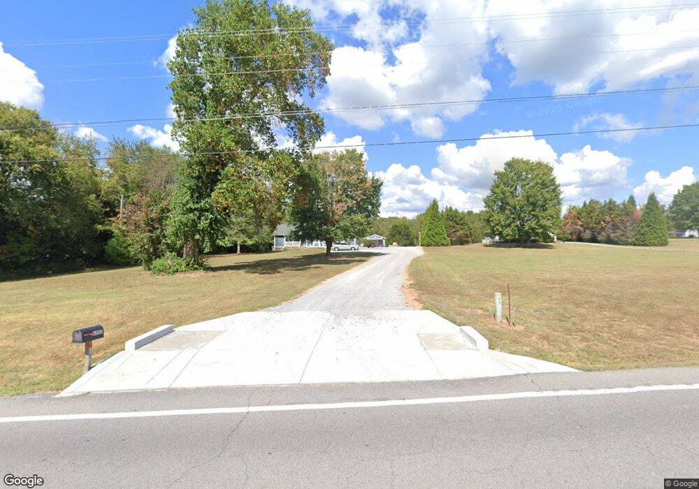
6552 Highway 76 E Springfield, TN 37172
Estimated Value: $315,054 - $390,000
Studio
2
Baths
1,433
Sq Ft
$239/Sq Ft
Est. Value
About This Home
This home is located at 6552 Highway 76 E, Springfield, TN 37172 and is currently estimated at $342,764, approximately $239 per square foot. 6552 Highway 76 E is a home located in Robertson County with nearby schools including Robert F. Woodall Elementary School, White House Heritage Elementary School, and White House Heritage High School.
Ownership History
Date
Name
Owned For
Owner Type
Purchase Details
Closed on
Feb 20, 2018
Sold by
Taylor Robert G
Bought by
Taylor Robert G and Taylor Colleen R
Current Estimated Value
Home Financials for this Owner
Home Financials are based on the most recent Mortgage that was taken out on this home.
Original Mortgage
$175,400
Outstanding Balance
$97,970
Interest Rate
4.04%
Mortgage Type
VA
Estimated Equity
$244,794
Purchase Details
Closed on
Nov 10, 2004
Sold by
Strother Cayle C
Bought by
Taylor Robert G
Purchase Details
Closed on
Jun 30, 1992
Bought by
Strother Cayle C and Strother Cathy L
Purchase Details
Closed on
Dec 16, 1991
Bought by
Mims Deborah S
Purchase Details
Closed on
Dec 3, 1990
Bought by
Mims Richard L
Purchase Details
Closed on
Jul 24, 1990
Bought by
Adcock Lanny
Purchase Details
Closed on
Oct 23, 1989
Create a Home Valuation Report for This Property
The Home Valuation Report is an in-depth analysis detailing your home's value as well as a comparison with similar homes in the area
Home Values in the Area
Average Home Value in this Area
Purchase History
| Date | Buyer | Sale Price | Title Company |
|---|---|---|---|
| Taylor Robert G | -- | Servicelink | |
| Taylor Robert G | $116,500 | -- | |
| Strother Cayle C | $69,900 | -- | |
| Mims Deborah S | -- | -- | |
| Mims Richard L | $62,000 | -- | |
| Adcock Lanny | -- | -- | |
| -- | $22,200 | -- |
Source: Public Records
Mortgage History
| Date | Status | Borrower | Loan Amount |
|---|---|---|---|
| Open | Taylor Robert G | $175,400 |
Source: Public Records
Tax History
| Year | Tax Paid | Tax Assessment Tax Assessment Total Assessment is a certain percentage of the fair market value that is determined by local assessors to be the total taxable value of land and additions on the property. | Land | Improvement |
|---|---|---|---|---|
| 2025 | $1,008 | $56,000 | $17,325 | $38,675 |
| 2024 | $1,008 | $56,000 | $17,325 | $38,675 |
| 2023 | $1,008 | $56,000 | $17,325 | $38,675 |
| 2022 | $1,030 | $40,000 | $9,525 | $30,475 |
| 2021 | $1,030 | $40,000 | $9,525 | $30,475 |
| 2020 | $1,030 | $40,000 | $9,525 | $30,475 |
| 2019 | $1,030 | $40,000 | $9,525 | $30,475 |
| 2018 | $1,030 | $40,000 | $9,525 | $30,475 |
| 2017 | $849 | $27,525 | $6,075 | $21,450 |
| 2016 | $849 | $27,525 | $6,075 | $21,450 |
| 2015 | $815 | $27,525 | $6,075 | $21,450 |
| 2014 | $815 | $27,525 | $6,075 | $21,450 |
Source: Public Records
Map
Nearby Homes
- 1004 Shiloh Dr
- 1074 Pair Six Dr
- 6840 Herbert Shannon Rd
- 3972 Baggett Rd
- 1007 Wood Ln
- 338 Gallop Ln
- 238 Clydesdale Ln
- 405 Arabian Ln
- 312 Brandywine Ln
- 3941 Baggett Rd
- 4031 Wells Rd
- 340 Fieldstone Ln
- 349 Fieldstone Ln
- 1024 Moncrief Cir
- 7855 Bethlehem Rd
- 141 Foxrun
- 5827 Highway 76 E
- 1073 Rector Ln
- 204 Morris Dr
- 4247 Armstrong Rd
- 6558 Highway 76 E
- 1007 Lorilei Ln
- 1011 Lorilei Ln
- 1003 Lorilei Ln
- 6564 Highway 76 E
- 6564 Tennessee 76
- 6579 Highway 76 E
- 6563 Highway 76 E
- 6589 Highway 76 E
- 1015 Lorilei Ln
- 6555 Highway 76 E
- 6593 Highway 76 E
- 6597 Highway 76 E
- 1006 Lorilei Ln
- 6547 Highway 76 E
- 6578 Highway 76 E
- 1010 Lorilei Ln
- 6543 Highway 76 E
- 1014 Lorilei Ln
- 6605 Highway 76 E
Your Personal Tour Guide
Ask me questions while you tour the home.