6552 Wilson Ln Central Point, OR 97502
Estimated Value: $264,000 - $378,006
4
Beds
2
Baths
1,684
Sq Ft
$198/Sq Ft
Est. Value
About This Home
This home is located at 6552 Wilson Ln, Central Point, OR 97502 and is currently estimated at $334,002, approximately $198 per square foot. 6552 Wilson Ln is a home located in Jackson County with nearby schools including Jewett Elementary School, Scenic Middle School, and Crater High School.
Ownership History
Date
Name
Owned For
Owner Type
Purchase Details
Closed on
Jul 25, 2011
Sold by
Dobbins James Michael and Dobbins Jennifer Lynne
Bought by
Howder Nathaniel T
Current Estimated Value
Home Financials for this Owner
Home Financials are based on the most recent Mortgage that was taken out on this home.
Original Mortgage
$65,000
Outstanding Balance
$4,856
Interest Rate
4.45%
Mortgage Type
Seller Take Back
Estimated Equity
$329,146
Purchase Details
Closed on
Apr 17, 2006
Sold by
Taylor Lawrence W and Taylor Joanne
Bought by
Dobbins James Michael and Dobbins Jennifer Lynne
Home Financials for this Owner
Home Financials are based on the most recent Mortgage that was taken out on this home.
Original Mortgage
$115,000
Interest Rate
6.35%
Mortgage Type
Seller Take Back
Purchase Details
Closed on
Nov 6, 2002
Sold by
Hilliard Elton K and Hilliard Betty G
Bought by
Taylor Lawrence W and Taylor Joanne
Create a Home Valuation Report for This Property
The Home Valuation Report is an in-depth analysis detailing your home's value as well as a comparison with similar homes in the area
Home Values in the Area
Average Home Value in this Area
Purchase History
| Date | Buyer | Sale Price | Title Company |
|---|---|---|---|
| Howder Nathaniel T | $75,000 | Ticor Title | |
| Dobbins James Michael | $130,000 | Amerititle | |
| Taylor Lawrence W | $45,000 | Multiple |
Source: Public Records
Mortgage History
| Date | Status | Borrower | Loan Amount |
|---|---|---|---|
| Open | Howder Nathaniel T | $65,000 | |
| Previous Owner | Dobbins James Michael | $115,000 |
Source: Public Records
Tax History Compared to Growth
Tax History
| Year | Tax Paid | Tax Assessment Tax Assessment Total Assessment is a certain percentage of the fair market value that is determined by local assessors to be the total taxable value of land and additions on the property. | Land | Improvement |
|---|---|---|---|---|
| 2025 | $1,554 | $129,610 | $66,080 | $63,530 |
| 2024 | $1,554 | $125,840 | $58,760 | $67,080 |
| 2023 | $1,502 | $122,180 | $57,050 | $65,130 |
| 2022 | $1,470 | $122,180 | $57,050 | $65,130 |
| 2021 | $1,429 | $118,630 | $55,380 | $63,250 |
| 2020 | $1,387 | $115,180 | $53,770 | $61,410 |
| 2019 | $1,355 | $108,580 | $50,690 | $57,890 |
| 2018 | $1,313 | $98,100 | $49,220 | $48,880 |
| 2017 | $1,193 | $98,100 | $49,220 | $48,880 |
| 2016 | $1,158 | $92,480 | $46,390 | $46,090 |
| 2015 | $1,116 | $92,480 | $46,390 | $46,090 |
| 2014 | $1,089 | $87,180 | $43,730 | $43,450 |
Source: Public Records
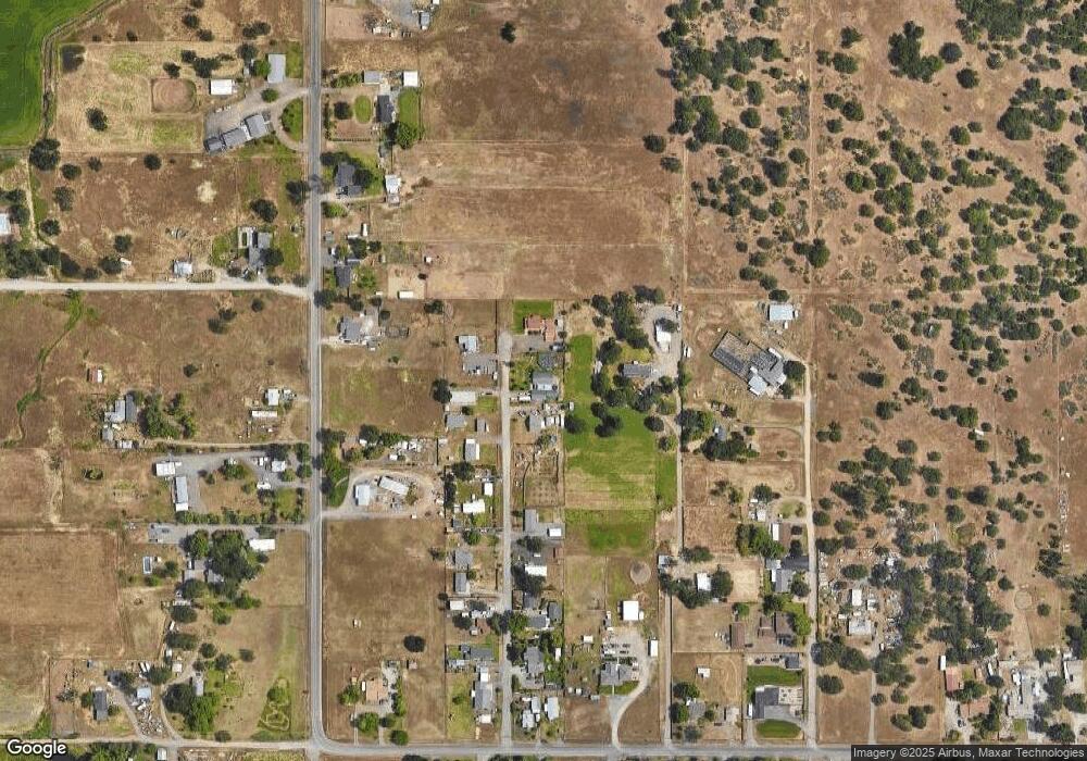
Map
Nearby Homes
- 6199 Wilson Ln
- 6850 Downing Rd Unit 44
- 6850 Downing Rd Unit 65
- 644 Raven
- 4035 Rock Way
- 335 Applewood Dr
- 2035 Rabun Way
- 225 Wilson Rd
- 1409 Twin Rocks Dr
- 356 Marian Ave Unit 40
- 0 Peninger Rd
- 920 N 10th St
- 413 Sand Pointe Dr
- 327 Brookhaven Dr
- 4922 Gebhard Rd
- 422 Castle Rock Dr
- 4626 N Pacific Hwy
- 1010 N 3rd St
- 2248 Evan Way
- 426 Bridge Creek Dr
- 6528 Wilson Ln
- 6580 Wilson Ln
- 6543 Wilson Ln
- 6571 Wilson Ln
- 1564 Gibbon Rd
- 6485 Wilson Ln
- 6482 Wilson Ln
- 6461 Wilson Ln
- 6407 Honeytree Ln
- 6522 Truax Rd
- 6424 Truax Rd
- 6445 Wilson Ln
- 6561 Truax Rd
- 6428 Wilson Ln
- 6598 Truax Rd
- 6427 Wilson Ln
- 6385 Honeytree Ln
- 6411 Wilson Ln
- 6412 Wilson Ln
- 6547 Truax Rd