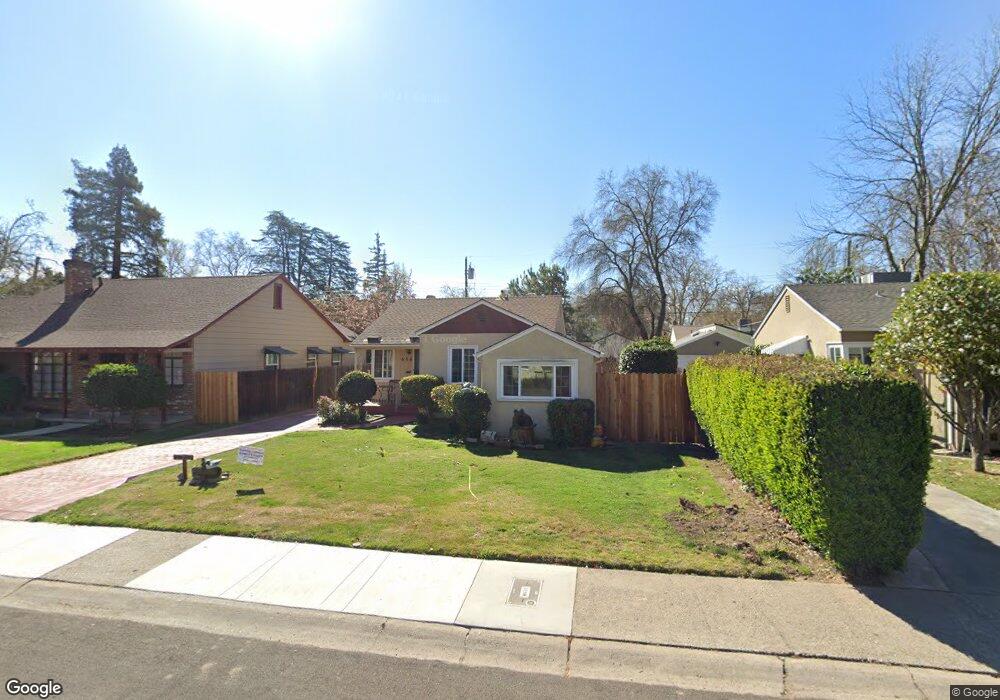
656 5th Ave Sacramento, CA 95818
Upper Land Park NeighborhoodEstimated Value: $456,000 - $625,000
2
Beds
1
Bath
1,030
Sq Ft
$515/Sq Ft
Est. Value
About This Home
This home is located at 656 5th Ave, Sacramento, CA 95818 and is currently estimated at $530,964, approximately $515 per square foot. 656 5th Ave is a home located in Sacramento County with nearby schools including Crocker/Riverside Elementary School, California Middle, and C. K. McClatchy High.
Create a Home Valuation Report for This Property
The Home Valuation Report is an in-depth analysis detailing your home's value as well as a comparison with similar homes in the area
Home Values in the Area
Average Home Value in this Area
Tax History Compared to Growth
Tax History
| Year | Tax Paid | Tax Assessment Tax Assessment Total Assessment is a certain percentage of the fair market value that is determined by local assessors to be the total taxable value of land and additions on the property. | Land | Improvement |
|---|---|---|---|---|
| 2025 | $1,687 | $130,569 | $32,628 | $97,941 |
| 2024 | $1,687 | $128,010 | $31,989 | $96,021 |
| 2023 | $1,646 | $125,501 | $31,362 | $94,139 |
| 2022 | $1,617 | $123,042 | $30,748 | $92,294 |
| 2021 | $1,544 | $120,631 | $30,146 | $90,485 |
| 2020 | $1,551 | $119,395 | $29,837 | $89,558 |
| 2019 | $1,518 | $117,054 | $29,252 | $87,802 |
| 2018 | $1,478 | $114,760 | $28,679 | $86,081 |
| 2017 | $1,457 | $112,511 | $28,117 | $84,394 |
| 2016 | $1,404 | $110,306 | $27,566 | $82,740 |
| 2015 | $1,383 | $108,650 | $27,152 | $81,498 |
| 2014 | $1,349 | $106,523 | $26,621 | $79,902 |
Source: Public Records
Map
Nearby Homes
- 625 Robertson Way
- 613 Swanston Dr
- 710 7th Ave
- 849 8th Ave
- 749 3rd Ave Unit 3
- 3098 Riverside Blvd
- 808 Fremont Way
- 2766 San Luis Ct
- 1032 10th Ave
- 2756 San Luis Ct
- 1259 Milano Dr Unit 2
- 1268 Milano Dr Unit 6
- 941 McClatchy Way
- 601 Dudley Way
- 2726 Moonflower St
- 2750 Moonflower St
- 1300 Milano Dr Unit 7
- 1316 Milano Dr Unit 4
- 1323 Milano Dr Unit 2
- 1323 Milano Dr Unit 6