Estimated Value: $300,109 - $327,000
3
Beds
2
Baths
1,519
Sq Ft
$206/Sq Ft
Est. Value
About This Home
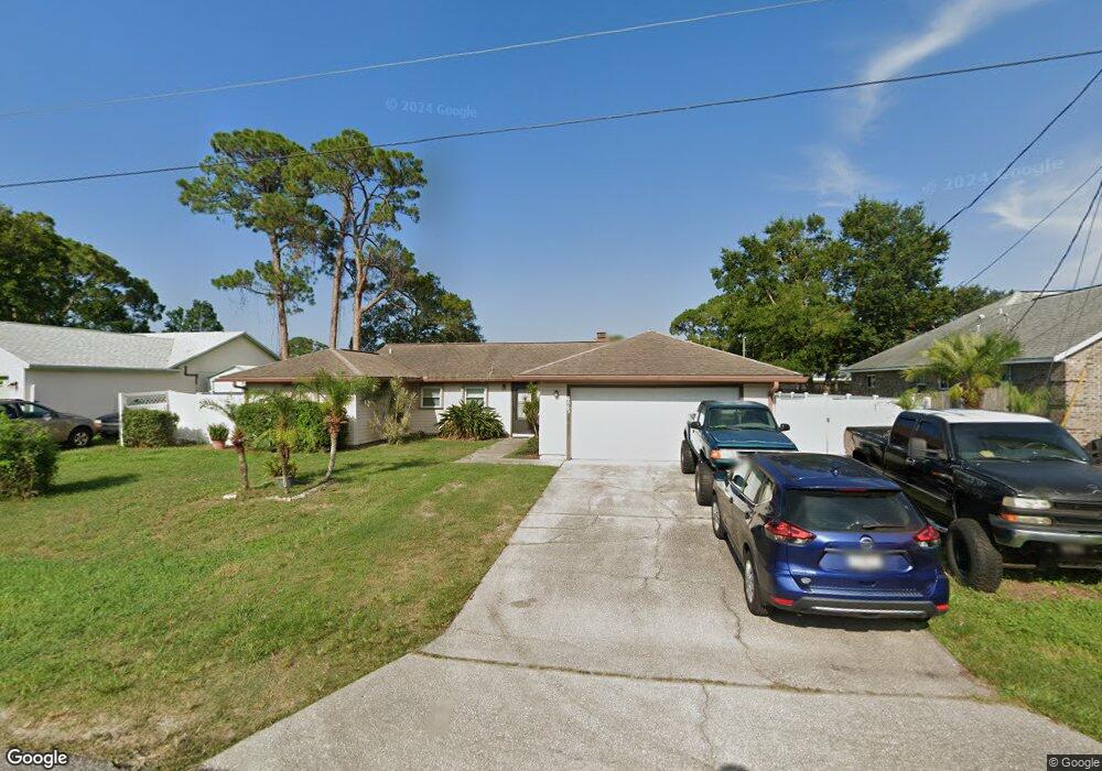
This home is located at 6563 Emil Ave, Cocoa, FL 32927 and is currently estimated at $312,777, approximately $205 per square foot. 6563 Emil Ave is a home located in Brevard County with nearby schools including Enterprise Elementary School, Space Coast Junior/Senior High School, and East Atlantic Prep of Brevard County.
Ownership History
Date
Name
Owned For
Owner Type
Purchase Details
Closed on
Nov 12, 2025
Sold by
Estep Brian Edward and Estep Amber Renee
Bought by
Phh Mortgage Corporation
Current Estimated Value
Purchase Details
Closed on
Jul 30, 2018
Sold by
Hatch Gary L and The Joyce Hatch Trust
Bought by
Estep Brian and Estep Amber
Home Financials for this Owner
Home Financials are based on the most recent Mortgage that was taken out on this home.
Original Mortgage
$174,235
Interest Rate
5.62%
Mortgage Type
FHA
Purchase Details
Closed on
Dec 4, 1995
Sold by
Hatch Vernon E and Hatch Joyce
Bought by
Hatch Joyce
Create a Home Valuation Report for This Property
The Home Valuation Report is an in-depth analysis detailing your home's value as well as a comparison with similar homes in the area
Home Values in the Area
Average Home Value in this Area
Purchase History
| Date | Buyer | Sale Price | Title Company |
|---|---|---|---|
| Phh Mortgage Corporation | $166,000 | -- | |
| Estep Brian | $177,500 | Landmark Title Agency Inc | |
| Hatch Joyce | -- | -- |
Source: Public Records
Mortgage History
| Date | Status | Borrower | Loan Amount |
|---|---|---|---|
| Previous Owner | Estep Brian | $174,235 |
Source: Public Records
Tax History
| Year | Tax Paid | Tax Assessment Tax Assessment Total Assessment is a certain percentage of the fair market value that is determined by local assessors to be the total taxable value of land and additions on the property. | Land | Improvement |
|---|---|---|---|---|
| 2025 | $2,263 | $172,730 | -- | -- |
| 2024 | $2,222 | $167,870 | -- | -- |
| 2023 | $2,222 | $162,990 | -- | -- |
| 2022 | $2,079 | $158,250 | $0 | $0 |
| 2021 | $2,112 | $153,650 | $0 | $0 |
| 2020 | $2,058 | $151,530 | $0 | $0 |
| 2019 | $1,969 | $145,840 | $35,000 | $110,840 |
| 2018 | $2,408 | $133,580 | $27,000 | $106,580 |
| 2017 | $929 | $68,220 | $0 | $0 |
| 2016 | $937 | $66,820 | $18,000 | $48,820 |
| 2015 | $945 | $66,360 | $15,000 | $51,360 |
| 2014 | $950 | $65,840 | $11,000 | $54,840 |
Source: Public Records
Map
Nearby Homes
- 6581 Bancroft Ave
- 5715 Fairbridge St
- 6481 La Brea Ave
- 6615 Dock Ave
- 5680 Banos Ave
- 6438 Hudson Rd
- 5601 Banos Ave
- 6574 Bamboo Ave
- 0 Aruin St Unit 1222557
- 6450 Ember Ave
- 6470 Bamboo Ave
- 5555 Brandon St
- 6760 Cairo Rd
- 5680 Brandon St
- 6815 Bryant Rd
- 6545 Addie Ave
- 6460 Homestead Ave
- 6665 Addie Ave
- 23-35-21-JX-B-2 Aruin St
- 7065 Hundred Acre Dr
- 6573 Emil Ave
- 6553 Emil Ave
- 6560 Bancroft Ave
- 6570 Bancroft Ave
- 6550 Bancroft Ave
- 6583 Emil Ave
- 6562 Emil Ave
- 6572 Emil Ave
- 6552 Emil Ave
- 6580 Bancroft Ave
- 6582 Emil Ave
- 6593 Emil Ave
- 5585 Curtis Blvd
- 5565 Curtis Blvd
- 6590 Bancroft Ave
- 5615 Curtis Blvd
- 6592 Emil Ave
- 6561 Bancroft Ave
- 6565 Fuller Ave
- 5555 Curtis Blvd
Your Personal Tour Guide
Ask me questions while you tour the home.