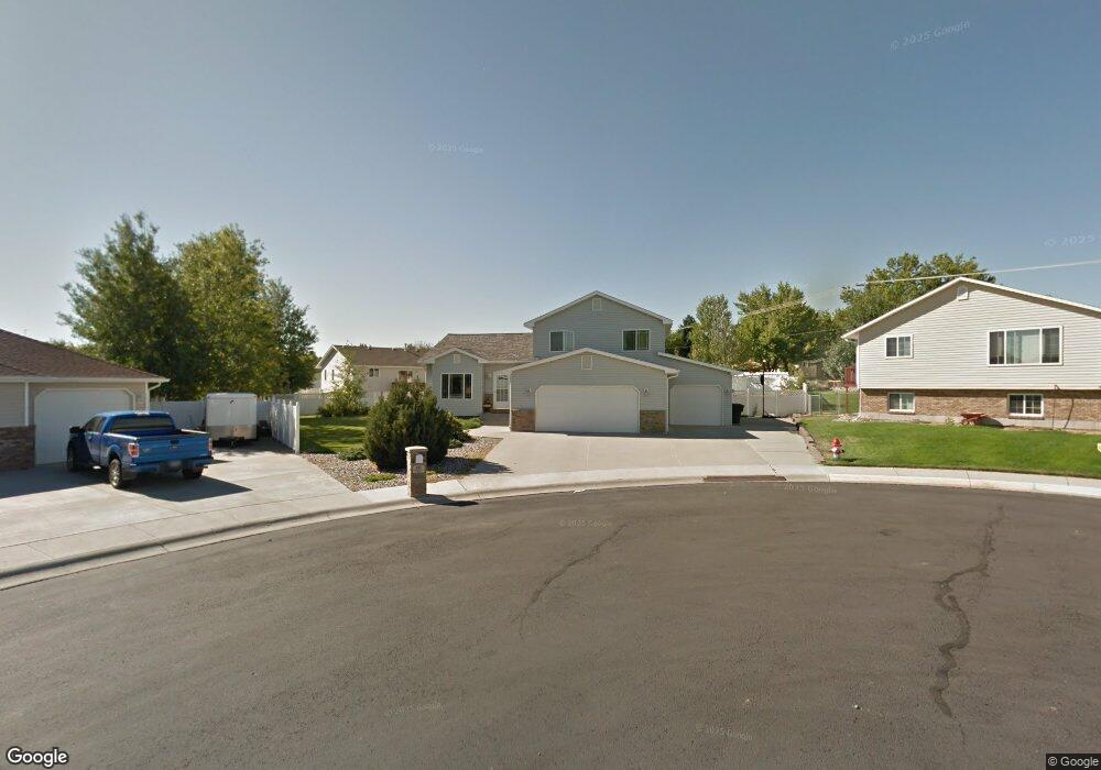
66 Jonquil Cir Billings, MT 59105
Billings Heights NeighborhoodEstimated Value: $393,000 - $443,000
4
Beds
3
Baths
2,356
Sq Ft
$174/Sq Ft
Est. Value
About This Home
This home is located at 66 Jonquil Cir, Billings, MT 59105 and is currently estimated at $410,772, approximately $174 per square foot. 66 Jonquil Cir is a home located in Yellowstone County with nearby schools including Eagle Cliffs Elementary School, Castle Rock Junior High School, and Skyview High School.
Ownership History
Date
Name
Owned For
Owner Type
Purchase Details
Closed on
Jan 8, 2016
Sold by
Solo George B and Solo Cynthia M
Bought by
Martin Jason A and Martin Noelle N
Current Estimated Value
Home Financials for this Owner
Home Financials are based on the most recent Mortgage that was taken out on this home.
Original Mortgage
$252,200
Outstanding Balance
$197,062
Interest Rate
3.92%
Mortgage Type
New Conventional
Estimated Equity
$213,710
Purchase Details
Closed on
Mar 21, 2011
Sold by
Keck Wayne J and Keck Teresa M
Bought by
Solo George B and Solo Cynthia M
Home Financials for this Owner
Home Financials are based on the most recent Mortgage that was taken out on this home.
Original Mortgage
$227,093
Interest Rate
4.62%
Mortgage Type
FHA
Create a Home Valuation Report for This Property
The Home Valuation Report is an in-depth analysis detailing your home's value as well as a comparison with similar homes in the area
Home Values in the Area
Average Home Value in this Area
Purchase History
| Date | Buyer | Sale Price | Title Company |
|---|---|---|---|
| Martin Jason A | -- | Chicago Title Company | |
| Solo George B | -- | St |
Source: Public Records
Mortgage History
| Date | Status | Borrower | Loan Amount |
|---|---|---|---|
| Open | Martin Jason A | $252,200 | |
| Previous Owner | Solo George B | $227,093 |
Source: Public Records
Tax History
| Year | Tax Paid | Tax Assessment Tax Assessment Total Assessment is a certain percentage of the fair market value that is determined by local assessors to be the total taxable value of land and additions on the property. | Land | Improvement |
|---|---|---|---|---|
| 2025 | $3,906 | $419,700 | $69,398 | $350,302 |
| 2024 | $3,906 | $390,600 | $65,653 | $324,947 |
| 2023 | $3,911 | $390,600 | $65,653 | $324,947 |
| 2022 | $2,831 | $299,800 | $0 | $0 |
| 2021 | $3,272 | $299,800 | $0 | $0 |
| 2020 | $3,189 | $279,500 | $0 | $0 |
| 2019 | $3,048 | $279,500 | $0 | $0 |
| 2018 | $2,921 | $262,100 | $0 | $0 |
| 2017 | $2,840 | $262,100 | $0 | $0 |
| 2016 | $2,593 | $243,500 | $0 | $0 |
| 2015 | $2,566 | $243,500 | $0 | $0 |
| 2014 | $2,384 | $119,621 | $0 | $0 |
Source: Public Records
Map
Nearby Homes
- 52 Prince of Wales Dr
- 126 Erickson Ct N
- TBD Antelope Place
- 1224 Watson Peak Rd
- 11 Queen Victoria Place
- 66 Antelope Trail W Unit 5
- 66 Antelope Trail W Unit 10
- 11 Prince of Wales Dr
- 1239 Watson Peak Rd
- 636 Antelope Cir
- 914 Aronson Ave
- 1315 Watson Peak Rd
- 658 Valle Vista Ave
- 126 Crestline Dr
- 228 Nash Ln
- 373 Stewart Ct S
- 1152 Toole Ct
- 621 Bazaar Exchange
- 938 Anacapa Ln
- 423 Kuhlman Dr
Your Personal Tour Guide
Ask me questions while you tour the home.