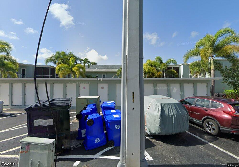
661 12th Ave S Unit 661 Naples, FL 34102
Old Naples NeighborhoodEstimated Value: $463,365 - $657,000
2
Beds
2
Baths
904
Sq Ft
$638/Sq Ft
Est. Value
About This Home
This home is located at 661 12th Ave S Unit 661, Naples, FL 34102 and is currently estimated at $576,841, approximately $638 per square foot. 661 12th Ave S Unit 661 is a home located in Collier County with nearby schools including Lake Park Elementary School, Naples High School, and Gulfview Middle School.
Ownership History
Date
Name
Owned For
Owner Type
Purchase Details
Closed on
Oct 27, 2020
Sold by
Mckee Cortland V and Mckee Sarah S
Bought by
Mckee Cortland V and Mckee Sarah S
Current Estimated Value
Purchase Details
Closed on
Jan 3, 2019
Sold by
Gem Investments Llc
Bought by
Mckee Cortland and Mckee Sarah S
Purchase Details
Closed on
Dec 25, 2009
Sold by
Dunn Linda and Kleven Susan
Bought by
Gem Investments Llc
Purchase Details
Closed on
Dec 7, 2009
Sold by
Easum Forrest G and Easum Mary Louise
Bought by
Dunn Linda and Kleven Susan
Purchase Details
Closed on
Mar 15, 1994
Sold by
Turk Meta B and Turk Meta Beatrice
Bought by
Easum Forrest G and Easum Mary Louise
Create a Home Valuation Report for This Property
The Home Valuation Report is an in-depth analysis detailing your home's value as well as a comparison with similar homes in the area
Home Values in the Area
Average Home Value in this Area
Purchase History
| Date | Buyer | Sale Price | Title Company |
|---|---|---|---|
| Mckee Cortland V | -- | Accommodation | |
| Mckee Cortland | $400,000 | Ross Title & Escrow Imc | |
| Gem Investments Llc | -- | Attorney | |
| Dunn Linda | $150,000 | Attorney | |
| Easum Forrest G | $65,000 | -- |
Source: Public Records
Tax History
| Year | Tax Paid | Tax Assessment Tax Assessment Total Assessment is a certain percentage of the fair market value that is determined by local assessors to be the total taxable value of land and additions on the property. | Land | Improvement |
|---|---|---|---|---|
| 2025 | $3,551 | $96,141 | -- | -- |
| 2024 | $1,422 | $315,394 | -- | -- |
| 2023 | $1,422 | $96,988 | $0 | $0 |
| 2022 | $3,441 | $315,282 | $0 | $0 |
| 2021 | $2,941 | $286,620 | $0 | $286,620 |
| 2020 | $2,824 | $278,190 | $0 | $278,190 |
| 2019 | $2,685 | $253,688 | $0 | $0 |
| 2018 | $2,518 | $230,625 | $0 | $0 |
| 2017 | $2,425 | $209,659 | $0 | $0 |
| 2016 | $2,210 | $190,599 | $0 | $0 |
Source: Public Records
Map
Nearby Homes
- 676 Broad Ave S Unit J676
- 606 Broad Ave S Unit J606
- 670 Broad Ave S Unit J670
- 641 12th Ave S Unit 641
- 665 12th Ave S Unit 665
- 663 12th Ave S Unit 663
- 635 12th Ave S Unit 635
- 601 12th Ave S Unit 601
- 603 12th Ave S
- 645 Broad Ave S
- 695 Broad Ave S
- 626 12th Ave S Unit 626
- 634 12th Ave S Unit 634
- 604 12th Ave S Unit 604
- 709 Broad Ave S
- 745 12th Ave S Unit 102
- 745 12th Ave S Unit 103
- 1135 7th St S
- 582 Broad Ave S Unit 582
- 530 Broad Ave S Unit 530
- 657 12th Ave S Unit 657
- 659 12th Ave S Unit 659
- 667 12th Ave S Unit 667
- 655 12th Ave S Unit 655
- 671 12th Ave S Unit 671
- 653 12th Ave S Unit 653
- 651 12th Ave S Unit 651
- 673 12th Ave S Unit E
- 673 12th Ave S Unit 673
- 649 12th Ave S Unit 649
- 623 12th Ave S Unit 623
- 647 12th Ave S Unit 647
- 619 12th Ave S Unit 619
- 675 12th Ave S Unit 675
- 645 12th Ave S Unit 645
- 617 12th Ave S Unit 617
- 681 12th Ave S Unit 681
- 643 12th Ave S Unit 643
- 615 12th Ave S Unit 615
- 613 12th Ave S Unit 613
Your Personal Tour Guide
Ask me questions while you tour the home.
