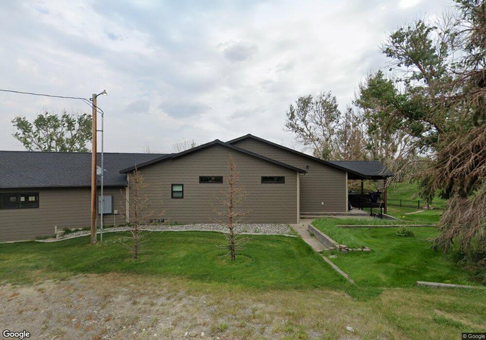
6614 Pinto Dr Shepherd, MT 59079
Estimated Value: $632,000 - $755,670
5
Beds
4
Baths
2,807
Sq Ft
$251/Sq Ft
Est. Value
About This Home
This home is located at 6614 Pinto Dr, Shepherd, MT 59079 and is currently estimated at $703,418, approximately $250 per square foot. 6614 Pinto Dr is a home located in Yellowstone County with nearby schools including Shepherd Elementary School, Shepherd Middle School, and Shepherd High School.
Ownership History
Date
Name
Owned For
Owner Type
Purchase Details
Closed on
Sep 15, 2010
Sold by
Keeling James R and Keeling Janell
Bought by
Gertsch Jeremy J and Gertsch Chelsie G
Current Estimated Value
Home Financials for this Owner
Home Financials are based on the most recent Mortgage that was taken out on this home.
Original Mortgage
$204,560
Outstanding Balance
$135,146
Interest Rate
4.45%
Mortgage Type
New Conventional
Estimated Equity
$568,272
Create a Home Valuation Report for This Property
The Home Valuation Report is an in-depth analysis detailing your home's value as well as a comparison with similar homes in the area
Purchase History
| Date | Buyer | Sale Price | Title Company |
|---|---|---|---|
| Gertsch Jeremy J | -- | None Available |
Source: Public Records
Mortgage History
| Date | Status | Borrower | Loan Amount |
|---|---|---|---|
| Open | Gertsch Jeremy J | $204,560 |
Source: Public Records
Tax History
| Year | Tax Paid | Tax Assessment Tax Assessment Total Assessment is a certain percentage of the fair market value that is determined by local assessors to be the total taxable value of land and additions on the property. | Land | Improvement |
|---|---|---|---|---|
| 2025 | $5,120 | $756,400 | $79,100 | $677,300 |
| 2024 | $5,120 | $603,600 | $62,275 | $541,325 |
| 2023 | $5,210 | $603,600 | $62,275 | $541,325 |
| 2022 | $4,762 | $506,500 | $0 | $0 |
| 2021 | $4,892 | $506,500 | $0 | $0 |
| 2020 | $4,423 | $441,100 | $0 | $0 |
| 2019 | $3,677 | $443,500 | $0 | $0 |
| 2018 | $4,219 | $480,900 | $0 | $0 |
| 2017 | $4,140 | $480,900 | $0 | $0 |
| 2016 | $3,726 | $450,800 | $0 | $0 |
| 2015 | $3,151 | $381,742 | $0 | $0 |
| 2014 | $1,675 | $105,841 | $0 | $0 |
Source: Public Records
Map
Nearby Homes
- 6732 Pinto Dr
- 6835 Eagle Bend Blvd
- 7340 Wild Game Trail
- 7290 Whitetail Run
- 7420 Whitetail Run
- 5718 Creekview Dr
- 5652 Bengston Rd
- 8700 Fox Run
- 8020 Wade St
- 5430 Cerkoney Ln
- 9705 Shepherd Rd
- 0 Shepherd Road Lot Shepherd Rd
- 0 SHepherd Road lot Shepherd Rd
- 3835 Nellie Christine Dr
- 3863 Glenn Edward Rd
- 7306 Kendra Lynn Dr
- 7684 12 Mile Rd
- 7106 Lance St
- L5B4 Trumbo Cir
- 3625 Nellie Christine Dr
- 6611 Pinto Dr
- 6531 Bengston Rd
- 8124 Clark Rd
- 8123 Clark Rd
- 6700 Pinto Dr
- 6629 Buffalo Dr
- 6716 Pinto Dr
- 6715 Pinto Dr
- 6635 Buffalo Dr
- 6701 Buffalo Dr
- 6732 Pinto Dr
- 6609 Brave Lookout
- 6630 Buffalo Dr
- 0000 Buffalo Dr
- 0 Buffalo Dr
- 6735 Pinto Dr
- 6621 Brave Lookout
- 8400 Clark Rd
- 6631 Brave Lookout
- 6748 Pinto Dr
Your Personal Tour Guide
Ask me questions while you tour the home.