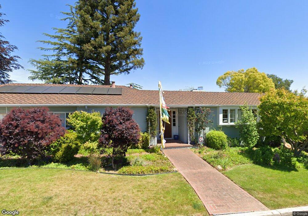
6630 Dawes St Oakland, CA 94611
Montclair NeighborhoodEstimated Value: $1,752,582 - $2,211,000
4
Beds
4
Baths
2,781
Sq Ft
$724/Sq Ft
Est. Value
About This Home
This home is located at 6630 Dawes St, Oakland, CA 94611 and is currently estimated at $2,013,646, approximately $724 per square foot. 6630 Dawes St is a home located in Alameda County with nearby schools including Montclair Elementary School, Montera Middle School, and Skyline High School.
Ownership History
Date
Name
Owned For
Owner Type
Purchase Details
Closed on
Jul 20, 2018
Sold by
Ransohoff Jonathan L
Bought by
Revo Ransohoff Jonathan L and Revo Jonathan L Ransohoff 2018
Current Estimated Value
Purchase Details
Closed on
Apr 15, 1996
Sold by
Peppin Nancy Lawler and Feyerabend Barbara Lawler
Bought by
Ransohoff Jonathan and Ransohoff Mary Norris
Home Financials for this Owner
Home Financials are based on the most recent Mortgage that was taken out on this home.
Original Mortgage
$185,000
Interest Rate
7.82%
Mortgage Type
Balloon
Create a Home Valuation Report for This Property
The Home Valuation Report is an in-depth analysis detailing your home's value as well as a comparison with similar homes in the area
Home Values in the Area
Average Home Value in this Area
Purchase History
| Date | Buyer | Sale Price | Title Company |
|---|---|---|---|
| Revo Ransohoff Jonathan L | -- | None Available | |
| Ransohoff Jonathan | $497,500 | Commonwealth Land Title Co |
Source: Public Records
Mortgage History
| Date | Status | Borrower | Loan Amount |
|---|---|---|---|
| Closed | Ransohoff Jonathan | $185,000 |
Source: Public Records
Tax History Compared to Growth
Tax History
| Year | Tax Paid | Tax Assessment Tax Assessment Total Assessment is a certain percentage of the fair market value that is determined by local assessors to be the total taxable value of land and additions on the property. | Land | Improvement |
|---|---|---|---|---|
| 2025 | $12,359 | $819,426 | $248,011 | $578,415 |
| 2024 | $12,359 | $803,223 | $243,148 | $567,075 |
| 2023 | $12,959 | $794,338 | $238,381 | $555,957 |
| 2022 | $12,626 | $771,766 | $233,708 | $545,058 |
| 2021 | $12,129 | $756,498 | $229,126 | $534,372 |
| 2020 | $11,989 | $755,671 | $226,777 | $528,894 |
| 2019 | $11,573 | $740,856 | $222,331 | $518,525 |
| 2018 | $11,318 | $726,334 | $217,973 | $508,361 |
| 2017 | $10,896 | $712,096 | $213,700 | $498,396 |
| 2016 | $10,567 | $698,136 | $209,511 | $488,625 |
| 2015 | $10,503 | $687,654 | $206,365 | $481,289 |
| 2014 | $10,446 | $674,186 | $202,323 | $471,863 |
Source: Public Records
Map
Nearby Homes
- 389 Somerset Rd
- 535 Hampton Rd
- 21 Tyson Cir
- 5969 Bruns Ct
- 1 Sotelo Ave
- 52 Glen Alpine Rd
- 0 Scout Rd Unit 41056305
- 45 Glen Alpine Rd
- 369 Hampton Rd
- 0 Bullard Dr
- 2066 Drake Dr
- 26 Sea View Ave
- 1842 Leimert Blvd
- 187 Saint James Dr
- 2025 Braemar Rd
- 2593 El Caminito
- 5821 Bagshotte Dr
- 5958 Colton Blvd
- 0 Thornhill Dr
- 191 Indian Rd
- 6600 Dawes St
- 6648 Dawes St
- 294 Pershing Dr
- 300 Pershing Dr
- 6676 Estates Dr
- 6672 Estates Dr
- 260 Pershing Dr
- 6682 Estates Dr
- 6580 Dawes St
- 320 Pershing Dr
- 498 Pershing Dr
- 6675 Liggett Dr
- 6650 Estates Dr
- 6683 Liggett Dr
- 6688 Estates Dr
- 6573 Dawes St
- 6657 Liggett Dr
- 301 Pershing Dr
- 250 Pershing Dr
- 6570 Dawes St