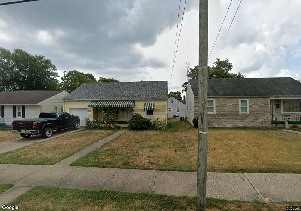
664 E Fair Ave Lancaster, OH 43130
Estimated Value: $188,052 - $203,000
2
Beds
1
Bath
896
Sq Ft
$220/Sq Ft
Est. Value
About This Home
This home is located at 664 E Fair Ave, Lancaster, OH 43130 and is currently estimated at $197,013, approximately $219 per square foot. 664 E Fair Ave is a home located in Fairfield County with nearby schools including Thomas Ewing Junior High School, Lancaster High School, and St Mary Elementary School.
Ownership History
Date
Name
Owned For
Owner Type
Purchase Details
Closed on
Oct 30, 2023
Sold by
Graham Mary A
Bought by
Mary A Graham Revocable Trust and Graham
Current Estimated Value
Purchase Details
Closed on
Oct 19, 2023
Sold by
Graham Mary A
Bought by
Mary A Graham Revocable Trust and Graham
Purchase Details
Closed on
Dec 10, 1991
Sold by
Hedges Paul M
Bought by
Graham Dale K
Purchase Details
Closed on
Sep 10, 1991
Sold by
Lape Agnes L
Bought by
Hedges Paul M
Create a Home Valuation Report for This Property
The Home Valuation Report is an in-depth analysis detailing your home's value as well as a comparison with similar homes in the area
Home Values in the Area
Average Home Value in this Area
Purchase History
| Date | Buyer | Sale Price | Title Company |
|---|---|---|---|
| Mary A Graham Revocable Trust | -- | None Listed On Document | |
| Mary A Graham Revocable Trust | -- | None Listed On Document | |
| Graham Dale K | $54,000 | -- | |
| Hedges Paul M | -- | -- |
Source: Public Records
Tax History
| Year | Tax Paid | Tax Assessment Tax Assessment Total Assessment is a certain percentage of the fair market value that is determined by local assessors to be the total taxable value of land and additions on the property. | Land | Improvement |
|---|---|---|---|---|
| 2025 | $3,780 | $57,470 | $20,330 | $37,140 |
| 2024 | $3,780 | $42,050 | $9,190 | $32,860 |
| 2023 | $1,563 | $42,050 | $9,190 | $32,860 |
| 2022 | $1,572 | $42,050 | $9,190 | $32,860 |
| 2021 | $1,302 | $32,660 | $9,190 | $23,470 |
| 2020 | $1,249 | $32,660 | $9,190 | $23,470 |
| 2019 | $1,189 | $32,660 | $9,190 | $23,470 |
| 2018 | $1,026 | $25,980 | $9,190 | $16,790 |
| 2017 | $1,027 | $26,760 | $9,190 | $17,570 |
| 2016 | $1,001 | $26,760 | $9,190 | $17,570 |
| 2015 | $970 | $25,160 | $9,190 | $15,970 |
| 2014 | $925 | $25,160 | $9,190 | $15,970 |
| 2013 | $925 | $25,160 | $9,190 | $15,970 |
Source: Public Records
Map
Nearby Homes
- 705 Madison Ave
- 632 N Eastwood Ave
- 736 E Allen St
- 641 King St
- 627 Harding Ave
- 517 N Maple St
- 311 E Allen St
- 17 Red Bud Ln
- 621 E Mulberry St
- 245 Overlook Dr NE
- 1006 King St
- 627 Sheridan Dr
- 233 E 6th Ave
- 869 E Mulberry St
- 630 Sheridan Dr
- 600 N High St
- 165 Lake St
- 867 E Wheeling St
- 844 E Wheeling St
- 1281 E Allen St
- 660 E Fair Ave
- 668 E Fair Ave
- 674 E Fair Ave
- 820 Schory Ave
- 648 E Fair Ave
- 661 E Fair Ave
- 827 Madison Ave
- 659 E Fair Ave
- 816 Schory Ave
- 831 Schory Ave
- 835 Madison Ave
- 821 Madison Ave
- 642 E Fair Ave
- 655 E Fair Ave
- 901 Madison Ave
- 819 Schory Ave
- 817 Madison Ave
- 907 Madison Ave
- 817 Schory Ave
- 638 E Fair Ave
Your Personal Tour Guide
Ask me questions while you tour the home.