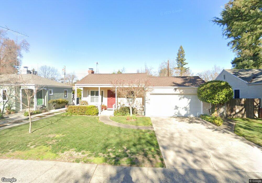
669 Perkins Way Sacramento, CA 95818
Upper Land Park NeighborhoodEstimated Value: $555,000 - $657,000
3
Beds
2
Baths
1,174
Sq Ft
$519/Sq Ft
Est. Value
About This Home
This home is located at 669 Perkins Way, Sacramento, CA 95818 and is currently estimated at $608,992, approximately $518 per square foot. 669 Perkins Way is a home located in Sacramento County with nearby schools including Crocker/Riverside Elementary School, California Middle, and C. K. McClatchy High.
Ownership History
Date
Name
Owned For
Owner Type
Purchase Details
Closed on
Mar 18, 2021
Sold by
Mendoza Yolanda L and Yolanda L Mendoza Family Trust
Bought by
Mendoza Yolanda L and Yolanda L Mendoza Living Trust
Current Estimated Value
Purchase Details
Closed on
Feb 2, 1995
Sold by
Mendoza Yolanda Luna
Bought by
Mendoza Yolanda L and Yolanda L Mendoza Family Revoc
Create a Home Valuation Report for This Property
The Home Valuation Report is an in-depth analysis detailing your home's value as well as a comparison with similar homes in the area
Home Values in the Area
Average Home Value in this Area
Purchase History
| Date | Buyer | Sale Price | Title Company |
|---|---|---|---|
| Mendoza Yolanda L | -- | None Available | |
| Yolanda L Mendoza Living Trust | -- | None Listed On Document | |
| Mendoza Yolanda L | -- | -- |
Source: Public Records
Tax History Compared to Growth
Tax History
| Year | Tax Paid | Tax Assessment Tax Assessment Total Assessment is a certain percentage of the fair market value that is determined by local assessors to be the total taxable value of land and additions on the property. | Land | Improvement |
|---|---|---|---|---|
| 2025 | $2,036 | $160,036 | $31,995 | $128,041 |
| 2024 | $2,036 | $156,899 | $31,368 | $125,531 |
| 2023 | $1,988 | $153,823 | $30,753 | $123,070 |
| 2022 | $1,952 | $150,807 | $30,150 | $120,657 |
| 2021 | $1,864 | $147,851 | $29,559 | $118,292 |
| 2020 | $1,873 | $146,336 | $29,256 | $117,080 |
| 2019 | $1,834 | $143,468 | $28,683 | $114,785 |
| 2018 | $1,786 | $140,656 | $28,121 | $112,535 |
| 2017 | $1,760 | $137,899 | $27,570 | $110,329 |
| 2016 | $1,700 | $135,196 | $27,030 | $108,166 |
| 2015 | $1,674 | $133,166 | $26,624 | $106,542 |
| 2014 | $1,632 | $130,558 | $26,103 | $104,455 |
Source: Public Records
Map
Nearby Homes
- 625 Robertson Way
- 3098 Riverside Blvd
- 710 7th Ave
- 849 8th Ave
- 613 Swanston Dr
- 749 3rd Ave Unit 3
- 1032 10th Ave
- 808 Fremont Way
- 2766 San Luis Ct
- 941 McClatchy Way
- 2756 San Luis Ct
- 601 Dudley Way
- 2726 Moonflower St
- 1259 Milano Dr Unit 2
- 2750 Moonflower St
- 1268 Milano Dr Unit 6
- 1432 Teneighth Way
- 1300 Milano Dr Unit 7
- 1316 Milano Dr Unit 4
- 2825 Elderberry St