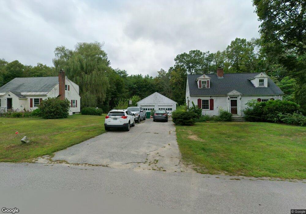
67 Intervale Rd Wilton, NH 03086
Estimated Value: $416,545 - $509,000
4
Beds
2
Baths
1,878
Sq Ft
$246/Sq Ft
Est. Value
About This Home
This home is located at 67 Intervale Rd, Wilton, NH 03086 and is currently estimated at $462,136, approximately $246 per square foot. 67 Intervale Rd is a home located in Hillsborough County with nearby schools including Florence Rideout Elementary School, Wilton-Lyndeborough Cooperative Middle School, and Wilton-Lyndeborough Cooperative High School.
Ownership History
Date
Name
Owned For
Owner Type
Purchase Details
Closed on
Jul 28, 2003
Sold by
Theriault Marc R and Theriault Jennifer K
Bought by
Lavelle Richard and Lavelle Linda
Current Estimated Value
Home Financials for this Owner
Home Financials are based on the most recent Mortgage that was taken out on this home.
Original Mortgage
$222,200
Outstanding Balance
$91,260
Interest Rate
5.27%
Estimated Equity
$370,876
Create a Home Valuation Report for This Property
The Home Valuation Report is an in-depth analysis detailing your home's value as well as a comparison with similar homes in the area
Home Values in the Area
Average Home Value in this Area
Purchase History
| Date | Buyer | Sale Price | Title Company |
|---|---|---|---|
| Lavelle Richard | $229,000 | -- |
Source: Public Records
Mortgage History
| Date | Status | Borrower | Loan Amount |
|---|---|---|---|
| Open | Lavelle Richard | $39,700 | |
| Open | Lavelle Richard | $222,200 |
Source: Public Records
Tax History
| Year | Tax Paid | Tax Assessment Tax Assessment Total Assessment is a certain percentage of the fair market value that is determined by local assessors to be the total taxable value of land and additions on the property. | Land | Improvement |
|---|---|---|---|---|
| 2025 | $7,762 | $287,700 | $91,900 | $195,800 |
| 2024 | $6,533 | $262,700 | $91,900 | $170,800 |
| 2023 | $5,832 | $262,700 | $91,900 | $170,800 |
| 2022 | $5,427 | $262,700 | $91,900 | $170,800 |
| 2021 | $5,043 | $262,400 | $91,900 | $170,500 |
| 2020 | $5,622 | $191,300 | $68,500 | $122,800 |
| 2019 | $5,555 | $191,300 | $68,500 | $122,800 |
| 2018 | $5,502 | $191,300 | $68,500 | $122,800 |
| 2017 | $5,233 | $192,600 | $68,500 | $124,100 |
| 2016 | $5,073 | $192,600 | $68,500 | $124,100 |
| 2015 | $4,952 | $188,000 | $69,300 | $118,700 |
| 2014 | $4,850 | $188,000 | $69,300 | $118,700 |
| 2013 | $4,892 | $188,000 | $69,300 | $118,700 |
Source: Public Records
Map
Nearby Homes
- 85 Intervale Rd
- 124 Abbot Hill Rd
- F88-9 McGettigan Rd
- F/88-5 McGettigan Rd
- F/88-4 McGettigan Rd
- 589 Gibbons Hwy
- 25 Burns Hill Rd
- F-88-11 Aria Hill Dr
- F-88-12 Aria Hill Dr
- F-88-7 Aria Hill Dr
- 10 Whiting Hill Rd
- F88-10 McGettigan Rd
- Lots 4 & 7 Gibbons & Robbins Rd
- 143 Falcon Ridge Rd Unit 23
- 0 Captain Clark Hwy
- 33 Falcon Ridge Rd Unit 33
- 58-6-2 Duggin Rd
- 16 Cortland Rd
- 545 Elm St Unit 4
- A 66 Burton Hwy
- 69 Intervale Rd
- 68 Intervale Rd
- 57 Intervale Rd
- 62 Intervale Rd
- 76 Intervale Rd
- 54 Intervale Rd
- 79 Intervale Rd
- 49 Intervale Rd
- 82 Intervale Rd
- 48 Intervale Rd
- 84 Intervale Rd
- 87 Intervale Rd
- 43 Intervale Rd
- 86 Intervale Rd
- 40 Intervale Rd
- 92 Intervale Rd
- 58 Proctor Rd
- 15 Richfield Way
- 97 Intervale Rd
- 37 Intervale Rd
Your Personal Tour Guide
Ask me questions while you tour the home.