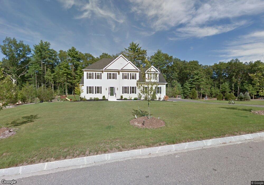
67 Silver Fox Rd Unit 22 Franklin, MA 02038
Estimated Value: $1,070,889
4
Beds
4
Baths
3,425
Sq Ft
$313/Sq Ft
Est. Value
About This Home
This home is located at 67 Silver Fox Rd Unit 22, Franklin, MA 02038 and is currently estimated at $1,070,889, approximately $312 per square foot. 67 Silver Fox Rd Unit 22 is a home located in Norfolk County with nearby schools including Helen Keller Elementary School, Annie Sullivan Middle School, and Franklin High School.
Ownership History
Date
Name
Owned For
Owner Type
Purchase Details
Closed on
Jul 24, 2019
Sold by
Sanfason Scott
Bought by
Church Of Pentecost Great
Current Estimated Value
Home Financials for this Owner
Home Financials are based on the most recent Mortgage that was taken out on this home.
Original Mortgage
$568,000
Outstanding Balance
$497,414
Interest Rate
3.8%
Mortgage Type
New Conventional
Estimated Equity
$573,475
Create a Home Valuation Report for This Property
The Home Valuation Report is an in-depth analysis detailing your home's value as well as a comparison with similar homes in the area
Home Values in the Area
Average Home Value in this Area
Purchase History
| Date | Buyer | Sale Price | Title Company |
|---|---|---|---|
| Church Of Pentecost Great | $710,000 | -- |
Source: Public Records
Mortgage History
| Date | Status | Borrower | Loan Amount |
|---|---|---|---|
| Open | Church Of Pentecost Great | $568,000 |
Source: Public Records
Tax History Compared to Growth
Tax History
| Year | Tax Paid | Tax Assessment Tax Assessment Total Assessment is a certain percentage of the fair market value that is determined by local assessors to be the total taxable value of land and additions on the property. | Land | Improvement |
|---|---|---|---|---|
| 2025 | $0 | $940,800 | $383,100 | $557,700 |
| 2024 | $0 | $955,700 | $383,100 | $572,600 |
| 2023 | $0 | $823,400 | $325,400 | $498,000 |
| 2022 | $0 | $779,800 | $339,000 | $440,800 |
| 2021 | $0 | $737,300 | $284,400 | $452,900 |
| 2020 | $0 | $715,800 | $284,400 | $431,400 |
| 2019 | $10,489 | $715,500 | $281,500 | $434,000 |
| 2018 | $9,900 | $675,800 | $287,400 | $388,400 |
| 2017 | $9,983 | $684,700 | $296,300 | $388,400 |
| 2016 | $9,083 | $626,400 | $271,800 | $354,600 |
| 2015 | $8,554 | $576,400 | $221,800 | $354,600 |
| 2014 | $8,569 | $593,000 | $238,400 | $354,600 |
Source: Public Records
Map
Nearby Homes
- 10 Populatic Street Extension
- 312 Eagles Nest Way Unit 312
- 99 Leland Rd
- 10 Silver Fox Rd
- 70 Daniels St
- 48 Leanne Way Unit 48
- 83 Oliver Pond Cir Unit 7
- 56 Fuller Place
- 91 Oliver Pond Cir Unit 3
- 48 River Rd
- 12 Ariana Ln
- 33 Daniels St
- 24 Shayne Rd Unit 219
- 98 Myrtle St
- 732 Lincoln St
- 2 Skyline Dr
- 41 Myrtle St
- 841 Lincoln St
- 1 Granite Dr
- 9 Sanford St
- 67 Silver Fox Rd
- 71 Silver Fox Rd
- 71 Silver Fox Rd Unit 21
- 66 Silver Fox Rd
- 7 Eagles Nest Way Unit 713
- 7 Eagles Nest Way Unit 723
- 7 Eagles Nest Way Unit 721
- 7 Eagles Nest Way Unit 722
- 7 Eagles Nest Way Unit 714
- 7 Eagles Nest Way Unit 711
- 7 Eagles Nest Way Unit 712
- 63 Silver Fox Rd Unit 23
- 9 Eagles Nest Way Unit 912
- 9 Eagles Nest Way Unit 911
- 9 Eagles Nest Way Unit 922
- 9 Eagles Nest Way Unit 921
- 9 Eagles Nest Way Unit 923
- 9 Eagles Nest Way Unit 913
- 9 Eagles Nest Way Unit 914
- 68 Silver Fox Rd