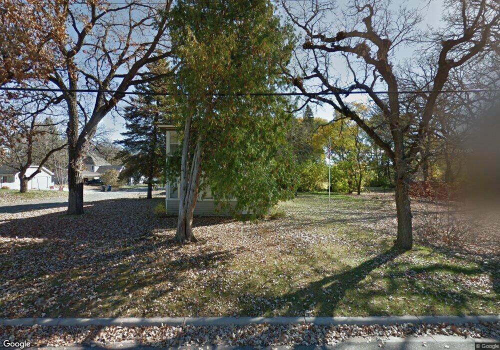
671 Independence Ave N Champlin, MN 55316
Estimated Value: $227,000 - $329,969
2
Beds
1
Bath
1,150
Sq Ft
$261/Sq Ft
Est. Value
About This Home
This home is located at 671 Independence Ave N, Champlin, MN 55316 and is currently estimated at $300,492, approximately $261 per square foot. 671 Independence Ave N is a home located in Hennepin County with nearby schools including Champlin-Brooklyn Park Academy, Jackson Middle School, and Champlin Park High School.
Ownership History
Date
Name
Owned For
Owner Type
Purchase Details
Closed on
Mar 25, 2024
Sold by
Limkar Ravindra and Limkar Gauri
Bought by
Amit Realty Llp
Current Estimated Value
Purchase Details
Closed on
Oct 23, 2015
Sold by
Knoll Lynn
Bought by
Limkar Gauri
Purchase Details
Closed on
Aug 26, 2011
Sold by
Bosquez Tony and Bosquez Patricia Hayes
Bought by
Knoll Lynn
Purchase Details
Closed on
Sep 27, 2001
Sold by
Rivas Emily D and Rivas Timothy J
Bought by
Bosquez Tony and Bosquez Patricia Hayes
Create a Home Valuation Report for This Property
The Home Valuation Report is an in-depth analysis detailing your home's value as well as a comparison with similar homes in the area
Home Values in the Area
Average Home Value in this Area
Purchase History
| Date | Buyer | Sale Price | Title Company |
|---|---|---|---|
| Amit Realty Llp | $485 | None Listed On Document | |
| Limkar Gauri | $130,500 | Edina Realty Title Inc | |
| Knoll Lynn | $90,000 | Cities Title Services Llc | |
| Bosquez Tony | $140,000 | -- |
Source: Public Records
Tax History
| Year | Tax Paid | Tax Assessment Tax Assessment Total Assessment is a certain percentage of the fair market value that is determined by local assessors to be the total taxable value of land and additions on the property. | Land | Improvement |
|---|---|---|---|---|
| 2024 | $2,720 | $227,200 | $91,400 | $135,800 |
| 2023 | $2,633 | $229,800 | $93,500 | $136,300 |
| 2022 | $2,171 | $213,000 | $82,000 | $131,000 |
| 2021 | $1,943 | $172,000 | $68,000 | $104,000 |
| 2020 | $1,991 | $153,000 | $59,000 | $94,000 |
| 2019 | $1,814 | $153,000 | $61,000 | $92,000 |
| 2018 | $1,854 | $137,000 | $52,000 | $85,000 |
| 2017 | $1,778 | $130,000 | $38,000 | $92,000 |
| 2016 | $2,169 | $171,000 | $44,000 | $127,000 |
| 2015 | $2,099 | $166,000 | $39,000 | $127,000 |
| 2014 | -- | $159,000 | $42,000 | $117,000 |
Source: Public Records
Map
Nearby Homes
- 719 Keniston St N
- 704 Keniston St N
- 969 Creekwood Dr N
- 413 Orleans Ct N
- 701 Parkview Ln
- 1334 3rd Ave
- 1625 3rd Ave
- 431 Fremont St
- 413 Fremont St
- 809 Bradford Ave
- 216 Monroe St
- 1167 Benton St
- 2111 Green Ave
- 518 Western St
- 12972 Bauer Dr N
- 1319 7th Ln
- 8020 122nd Ln N
- 826 Elm St
- 13360 Wellington Cir
- 2224 4th Ave
- 673 Independence Ave N
- 18 Sunset Dr E
- 563 Independence Ave N
- 22 Sunset Dr E
- 670 Independence Ave N
- 14 Dean Ave E
- 672 Independence Ave N
- 11 Trussel Ave
- 22 Dean Ave E
- 674 Independence Ave N
- 15 Trussel Ave
- 564 Independence Ave N
- 681 Independence Ave N
- 457 Independence Ave N
- 102 Sunset Dr W
- 103 Kimball Dr
- 456 Independence Ave N
- 101 Sunset Dr W
- 13 Dean Ave E
- 30 Sunset Dr E
Your Personal Tour Guide
Ask me questions while you tour the home.