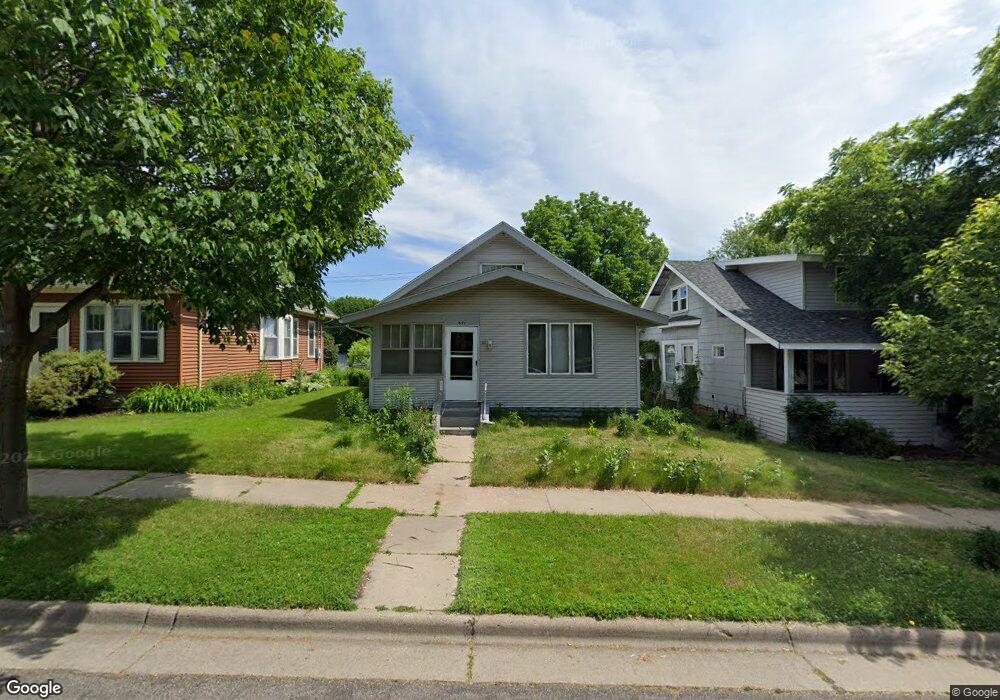
671 Simon Ave Saint Paul, MN 55117
Como Park NeighborhoodEstimated Value: $255,476 - $280,000
3
Beds
1
Bath
1,219
Sq Ft
$218/Sq Ft
Est. Value
About This Home
This home is located at 671 Simon Ave, Saint Paul, MN 55117 and is currently estimated at $266,119, approximately $218 per square foot. 671 Simon Ave is a home located in Ramsey County with nearby schools including Como Park Elementary School, Murray Middle School, and Como Park Senior High School.
Create a Home Valuation Report for This Property
The Home Valuation Report is an in-depth analysis detailing your home's value as well as a comparison with similar homes in the area
Home Values in the Area
Average Home Value in this Area
Tax History
| Year | Tax Paid | Tax Assessment Tax Assessment Total Assessment is a certain percentage of the fair market value that is determined by local assessors to be the total taxable value of land and additions on the property. | Land | Improvement |
|---|---|---|---|---|
| 2025 | $3,212 | $238,000 | $35,700 | $202,300 |
| 2023 | $3,212 | $217,900 | $35,700 | $182,200 |
| 2022 | $2,682 | $208,700 | $35,700 | $173,000 |
| 2021 | $2,482 | $180,900 | $35,700 | $145,200 |
| 2020 | $2,974 | $174,600 | $35,700 | $138,900 |
| 2019 | $2,596 | $183,500 | $35,700 | $147,800 |
| 2018 | $2,230 | $166,300 | $35,700 | $130,600 |
| 2017 | $1,918 | $153,000 | $28,600 | $124,400 |
| 2016 | $2,104 | $0 | $0 | $0 |
| 2015 | $1,896 | $141,600 | $28,600 | $113,000 |
| 2014 | $1,962 | $0 | $0 | $0 |
Source: Public Records
Map
Nearby Homes
- 1048 Dale St N
- 352 Como Ave
- 593 Front Ave
- 1104 MacKubin St
- 1187 Dale St N
- 989 Barrett St
- 1245 Dale St N
- 469 Como Ave
- 1041 Western Ave N
- 952 Western Ave N
- 1300 Schletti St
- 351 Stinson St
- 1120 Virginia St
- 366 Topping St
- 1151 Farrington St
- 924 Farrington St
- 1071 Matilda St
- 634 Van Buren Ave
- 751 Van Buren Ave
- 283 Front Ave
Your Personal Tour Guide
Ask me questions while you tour the home.