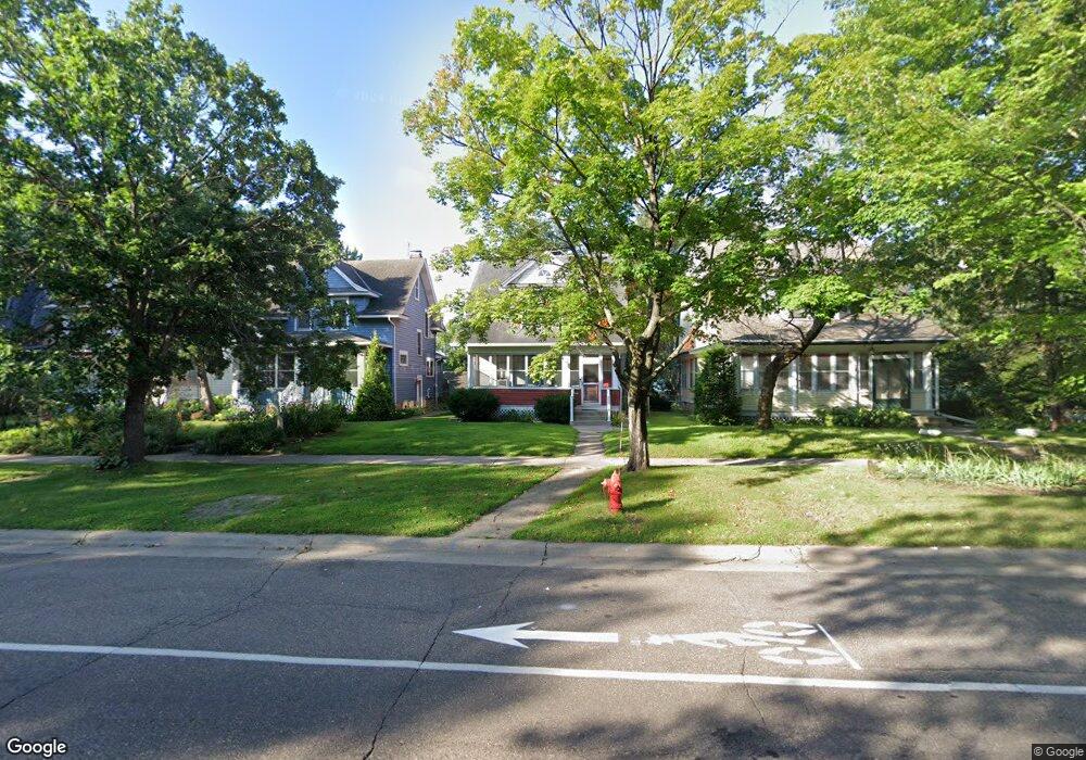
672 Como Ave Saint Paul, MN 55103
Como Park NeighborhoodEstimated Value: $339,000 - $387,000
3
Beds
2
Baths
1,600
Sq Ft
$221/Sq Ft
Est. Value
About This Home
This home is located at 672 Como Ave, Saint Paul, MN 55103 and is currently estimated at $354,353, approximately $221 per square foot. 672 Como Ave is a home located in Ramsey County with nearby schools including Como Park Elementary School, Murray Middle School, and Como Park Senior High School.
Ownership History
Date
Name
Owned For
Owner Type
Purchase Details
Closed on
Aug 21, 2019
Sold by
Chapman Bruce and Chapman Charlotte
Bought by
Varela Anthony and Burgoyne Paul
Current Estimated Value
Home Financials for this Owner
Home Financials are based on the most recent Mortgage that was taken out on this home.
Original Mortgage
$235,800
Outstanding Balance
$206,517
Interest Rate
3.7%
Mortgage Type
New Conventional
Estimated Equity
$147,836
Purchase Details
Closed on
Jul 8, 2015
Sold by
Markgren Theodore Theodore
Create a Home Valuation Report for This Property
The Home Valuation Report is an in-depth analysis detailing your home's value as well as a comparison with similar homes in the area
Home Values in the Area
Average Home Value in this Area
Purchase History
| Date | Buyer | Sale Price | Title Company |
|---|---|---|---|
| Varela Anthony | $262,500 | None Available | |
| -- | $199,000 | -- | |
| The Bruce & Charlotte Chapman Family Tru | $205,030 | Stewart Title Of Minnesota |
Source: Public Records
Mortgage History
| Date | Status | Borrower | Loan Amount |
|---|---|---|---|
| Open | Varela Anthony | $235,800 |
Source: Public Records
Tax History
| Year | Tax Paid | Tax Assessment Tax Assessment Total Assessment is a certain percentage of the fair market value that is determined by local assessors to be the total taxable value of land and additions on the property. | Land | Improvement |
|---|---|---|---|---|
| 2025 | $4,932 | $356,300 | $34,000 | $322,300 |
| 2023 | $4,932 | $323,700 | $34,000 | $289,700 |
| 2022 | $4,206 | $308,000 | $34,000 | $274,000 |
| 2021 | $3,936 | $269,300 | $34,000 | $235,300 |
| 2020 | $3,928 | $262,100 | $34,000 | $228,100 |
| 2019 | $3,964 | $245,300 | $34,000 | $211,300 |
| 2018 | $3,482 | $231,200 | $34,000 | $197,200 |
| 2017 | $2,652 | $223,900 | $27,200 | $196,700 |
| 2016 | $2,442 | $0 | $0 | $0 |
| 2015 | $2,140 | $165,500 | $27,200 | $138,300 |
| 2014 | $1,864 | $0 | $0 | $0 |
Source: Public Records
Map
Nearby Homes
- 352 Como Ave
- 593 Front Ave
- 1048 Dale St N
- 989 Barrett St
- 1187 Dale St N
- 1104 MacKubin St
- 469 Como Ave
- 1245 Dale St N
- 751 Van Buren Ave
- 1041 Western Ave N
- 952 Western Ave N
- 366 Topping St
- 547 Blair Ave
- 351 Stinson St
- 1083 Chatsworth St N
- 644 Dale St N
- 1300 Schletti St
- 827 Lafond Ave
- 1120 Virginia St
- 924 Farrington St
- 668 Como Ave
- 676 Como Ave
- 664 Como Ave
- 660 Como Ave
- 656 Como Ave
- 677 Front Ave
- 675 Front Ave
- 981 St Albans St N Unit 301
- 981 St Albans St N Unit 103
- 652 Como Ave
- 671 Front Ave
- 681 Front Ave
- 665 Front Ave
- 995 St Albans St N Unit 204
- 995 St Albans St N Unit 203
- 995 St Albans St N Unit 108
- 995 St Albans St N Unit 307
- 648 Como Ave
- 667 Como Ave
- 685 Front Ave
Your Personal Tour Guide
Ask me questions while you tour the home.