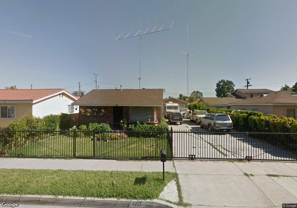
6732 Caro St Paramount, CA 90723
Estimated Value: $722,303 - $800,000
3
Beds
2
Baths
1,550
Sq Ft
$496/Sq Ft
Est. Value
About This Home
This home is located at 6732 Caro St, Paramount, CA 90723 and is currently estimated at $769,326, approximately $496 per square foot. 6732 Caro St is a home located in Los Angeles County with nearby schools including Wesley Gaines School, Leona Jackson Middle School, and Paramount High School.
Ownership History
Date
Name
Owned For
Owner Type
Purchase Details
Closed on
Mar 10, 2025
Sold by
Holguin Garcia Evelia and Holguin Garcia Evelia
Bought by
Degarcia Evelia Holguin and Degarcia Jesus Zarazua
Current Estimated Value
Purchase Details
Closed on
Feb 4, 2002
Sold by
Garcia J Jesus
Bought by
Garcia Evelia Holguin
Purchase Details
Closed on
Feb 3, 2002
Sold by
Velasco Salvador A and Velasco Margarita
Bought by
Garcia Evelia Holguin
Create a Home Valuation Report for This Property
The Home Valuation Report is an in-depth analysis detailing your home's value as well as a comparison with similar homes in the area
Home Values in the Area
Average Home Value in this Area
Purchase History
| Date | Buyer | Sale Price | Title Company |
|---|---|---|---|
| Degarcia Evelia Holguin | -- | None Listed On Document | |
| Garcia Evelia Holguin | -- | American Title Co | |
| Garcia Evelia Holguin | $101,500 | American Title Co |
Source: Public Records
Tax History
| Year | Tax Paid | Tax Assessment Tax Assessment Total Assessment is a certain percentage of the fair market value that is determined by local assessors to be the total taxable value of land and additions on the property. | Land | Improvement |
|---|---|---|---|---|
| 2025 | $4,269 | $303,528 | $177,264 | $126,264 |
| 2024 | $4,269 | $297,578 | $173,789 | $123,789 |
| 2023 | $4,194 | $291,744 | $170,382 | $121,362 |
| 2022 | $4,085 | $286,025 | $167,042 | $118,983 |
| 2021 | $3,991 | $280,417 | $163,767 | $116,650 |
| 2019 | $4,083 | $272,101 | $158,910 | $113,191 |
| 2018 | $3,716 | $266,767 | $155,795 | $110,972 |
| 2016 | $3,336 | $256,411 | $149,747 | $106,664 |
| 2015 | $3,150 | $252,560 | $147,498 | $105,062 |
| 2014 | $3,228 | $247,613 | $144,609 | $103,004 |
Source: Public Records
Map
Nearby Homes
- 6733 Caro St Unit 47
- 6882 Alondra Blvd Unit 26
- 6824 Marcelle St
- 1050 E 72nd St
- 16600 Orange Ave Unit 124
- 16600 Orange Ave Unit 146
- 16600 Orange Ave Unit 130
- 16600 Orange Ave Unit 48
- 16313 Hunsaker Ave
- 15351 Orange Ave Unit 17
- 6313 Rancho Parada Rd
- 16710 Orange Ave Unit L59
- 15325 Orange Ave
- 7229 Jackson St
- 15137 Gundry Ave Unit F
- 16601 Garfield Ave Unit 91
- 16601 Garfield Ave Unit 110
- 7032 Somerset Blvd
- 16707 Garfield Ave Unit 1806
- 6950 Atlantic Ave
Your Personal Tour Guide
Ask me questions while you tour the home.