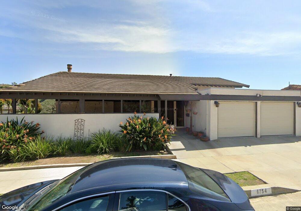
6754 Worsham Dr Whittier, CA 90602
Whittier College NeighborhoodEstimated Value: $1,136,956 - $1,337,000
4
Beds
3
Baths
2,415
Sq Ft
$530/Sq Ft
Est. Value
About This Home
This home is located at 6754 Worsham Dr, Whittier, CA 90602 and is currently estimated at $1,279,239, approximately $529 per square foot. 6754 Worsham Dr is a home located in Los Angeles County with nearby schools including Lou Henry Hoover Elementary School, Walter F. Dexter Middle School, and Whittier High School.
Ownership History
Date
Name
Owned For
Owner Type
Purchase Details
Closed on
Jun 30, 1995
Sold by
Anaya Ralph Lee and Anaya Marina
Bought by
Anaya Living Trust
Current Estimated Value
Create a Home Valuation Report for This Property
The Home Valuation Report is an in-depth analysis detailing your home's value as well as a comparison with similar homes in the area
Home Values in the Area
Average Home Value in this Area
Purchase History
| Date | Buyer | Sale Price | Title Company |
|---|---|---|---|
| Anaya Living Trust | -- | -- | |
| Anaya Living Trust | -- | -- |
Source: Public Records
Tax History
| Year | Tax Paid | Tax Assessment Tax Assessment Total Assessment is a certain percentage of the fair market value that is determined by local assessors to be the total taxable value of land and additions on the property. | Land | Improvement |
|---|---|---|---|---|
| 2025 | $2,816 | $186,019 | $43,113 | $142,906 |
| 2024 | $2,816 | $182,372 | $42,268 | $140,104 |
| 2023 | $2,730 | $178,797 | $41,440 | $137,357 |
| 2022 | $2,673 | $175,292 | $40,628 | $134,664 |
| 2021 | $2,601 | $171,856 | $39,832 | $132,024 |
| 2020 | $2,536 | $170,095 | $39,424 | $130,671 |
| 2019 | $2,622 | $166,760 | $38,651 | $128,109 |
| 2018 | $2,394 | $163,492 | $37,894 | $125,598 |
| 2016 | $2,247 | $157,145 | $36,423 | $120,722 |
| 2015 | $2,218 | $154,785 | $35,876 | $118,909 |
| 2014 | $2,194 | $151,754 | $35,174 | $116,580 |
Source: Public Records
Map
Nearby Homes
- 6769 Hillside Ln
- 7013 Hillside Ln
- 13875 Philadelphia St
- 13521 Olive Dr
- 13521 Terrace Place
- 13429 Bailey St
- 14001 Summit Dr
- 7339 College Ave
- 13504 Earlham Dr
- 6233 Haviland Ave
- 0 None Unit IG25263954
- 13570 Turnbull Canyon Rd
- 6120 Altmark Ave
- 13702 Mar Vista St
- 6308 Friends Ave Unit A
- 7251 Painter Ave Unit 7255
- 7032 Washington Ave
- 14004 Eastridge Dr
- 7052 Bright Ave
- 7312 Bright Ave Unit A
- 6746 Worsham Dr
- 6762 Worsham Dr
- 6738 Worsham Dr
- 6753 Worsham Dr
- 6772 Worsham Dr
- 6743 Worsham Dr
- 6759 Worsham Dr
- 6767 Worsham Dr
- 6730 Worsham Dr
- 6735 Worsham Dr
- 6710 Hillside Ln
- 13776 Philadelphia St
- 6720 Hillside Ln
- 6773 Worsham Dr
- 6770 Hillside Ln
- 13782 Philadelphia St
- 13788 Philadelphia St
- 6722 Worsham Dr
- 6723 Worsham Dr
- 6779 Worsham Dr
Your Personal Tour Guide
Ask me questions while you tour the home.