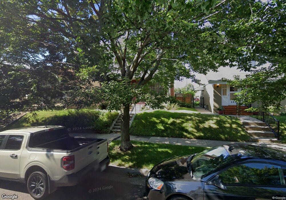
676 Simon Ave Saint Paul, MN 55117
Como Park NeighborhoodEstimated Value: $284,000 - $298,491
2
Beds
1
Bath
1,056
Sq Ft
$278/Sq Ft
Est. Value
About This Home
This home is located at 676 Simon Ave, Saint Paul, MN 55117 and is currently estimated at $293,123, approximately $277 per square foot. 676 Simon Ave is a home located in Ramsey County with nearby schools including Como Park Elementary School, Murray Middle School, and Como Park Senior High School.
Ownership History
Date
Name
Owned For
Owner Type
Purchase Details
Closed on
Aug 25, 2022
Sold by
William Ring
Bought by
Anderson Michael
Current Estimated Value
Home Financials for this Owner
Home Financials are based on the most recent Mortgage that was taken out on this home.
Original Mortgage
$257,535
Outstanding Balance
$245,523
Interest Rate
4.99%
Mortgage Type
New Conventional
Estimated Equity
$47,600
Purchase Details
Closed on
Jun 29, 2016
Sold by
Hoes Hannah H
Bought by
Ring William
Home Financials for this Owner
Home Financials are based on the most recent Mortgage that was taken out on this home.
Original Mortgage
$175,500
Interest Rate
3.64%
Mortgage Type
New Conventional
Purchase Details
Closed on
Jul 15, 1997
Sold by
Tersteeg Michael J and Tersteeg Jillellyn Bernadette Starlie
Bought by
Palkowitsh Daniel J
Create a Home Valuation Report for This Property
The Home Valuation Report is an in-depth analysis detailing your home's value as well as a comparison with similar homes in the area
Home Values in the Area
Average Home Value in this Area
Purchase History
| Date | Buyer | Sale Price | Title Company |
|---|---|---|---|
| Anderson Michael | $265,500 | Watermark Title | |
| Ring William | $180,951 | Liberty Title Inc | |
| Palkowitsh Daniel J | $84,500 | -- |
Source: Public Records
Mortgage History
| Date | Status | Borrower | Loan Amount |
|---|---|---|---|
| Open | Anderson Michael | $257,535 | |
| Previous Owner | Ring William | $175,500 |
Source: Public Records
Tax History Compared to Growth
Tax History
| Year | Tax Paid | Tax Assessment Tax Assessment Total Assessment is a certain percentage of the fair market value that is determined by local assessors to be the total taxable value of land and additions on the property. | Land | Improvement |
|---|---|---|---|---|
| 2025 | $4,118 | $298,300 | $35,700 | $262,600 |
| 2023 | $4,118 | $258,500 | $35,700 | $222,800 |
| 2022 | $3,594 | $253,900 | $35,700 | $218,200 |
| 2021 | $3,466 | $233,800 | $35,700 | $198,100 |
| 2020 | $3,342 | $233,800 | $35,700 | $198,100 |
| 2019 | $3,142 | $212,500 | $35,700 | $176,800 |
| 2018 | $2,832 | $198,900 | $35,700 | $163,200 |
| 2017 | $2,368 | $187,100 | $28,600 | $158,500 |
| 2016 | $2,536 | $0 | $0 | $0 |
| 2015 | $2,156 | $170,800 | $28,600 | $142,200 |
| 2014 | $1,820 | $0 | $0 | $0 |
Source: Public Records
Map
Nearby Homes
- 705 Como Ave
- 1063 Dale St N
- 740 Como Ave
- 352 Como Ave
- 569 Hatch Ave
- 1049 Kent St
- 552 Burgess St
- 1104 MacKubin St
- 989 Barrett St
- 766 Maryland Ave W
- 1241 Maywood St
- 1165 Norton St
- 1005 Como Blvd E
- 895 Front Ave
- 1038 Colne St
- 1176 Norton St
- 1175 Arundel St
- 1040 Cumberland St
- 1084 Ryde St
- 1083 Western Ave N