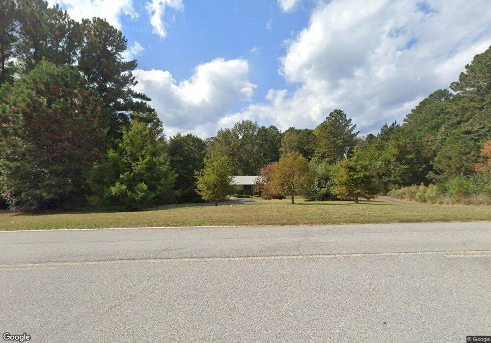
677 Moseley Dr Stockbridge, GA 30281
Estimated Value: $208,000 - $275,000
4
Beds
2
Baths
1,155
Sq Ft
$206/Sq Ft
Est. Value
About This Home
This home is located at 677 Moseley Dr, Stockbridge, GA 30281 and is currently estimated at $237,375, approximately $205 per square foot. 677 Moseley Dr is a home located in Henry County with nearby schools including Woodland Elementary School, Woodland Middle School, and Woodland High School.
Ownership History
Date
Name
Owned For
Owner Type
Purchase Details
Closed on
May 14, 2010
Sold by
Smith Michael L and Smith Victoria E
Bought by
Ewell Sterling B
Current Estimated Value
Home Financials for this Owner
Home Financials are based on the most recent Mortgage that was taken out on this home.
Original Mortgage
$88,804
Outstanding Balance
$60,102
Interest Rate
5.25%
Mortgage Type
FHA
Estimated Equity
$177,273
Purchase Details
Closed on
Jul 24, 1996
Sold by
Ashmoor Enterprises Inc
Bought by
Garcia Bob
Create a Home Valuation Report for This Property
The Home Valuation Report is an in-depth analysis detailing your home's value as well as a comparison with similar homes in the area
Home Values in the Area
Average Home Value in this Area
Purchase History
| Date | Buyer | Sale Price | Title Company |
|---|---|---|---|
| Ewell Sterling B | $90,000 | -- | |
| Garcia Bob | $70,000 | -- |
Source: Public Records
Mortgage History
| Date | Status | Borrower | Loan Amount |
|---|---|---|---|
| Open | Ewell Sterling B | $88,804 | |
| Closed | Garcia Bob | $0 |
Source: Public Records
Tax History Compared to Growth
Tax History
| Year | Tax Paid | Tax Assessment Tax Assessment Total Assessment is a certain percentage of the fair market value that is determined by local assessors to be the total taxable value of land and additions on the property. | Land | Improvement |
|---|---|---|---|---|
| 2025 | $2,634 | $106,960 | $15,920 | $91,040 |
| 2024 | $2,634 | $99,120 | $14,600 | $84,520 |
| 2023 | $2,072 | $90,360 | $14,080 | $76,280 |
| 2022 | $2,215 | $76,400 | $13,000 | $63,400 |
| 2021 | $1,627 | $61,840 | $11,160 | $50,680 |
| 2020 | $1,627 | $53,720 | $10,520 | $43,200 |
| 2019 | $1,516 | $49,400 | $9,960 | $39,440 |
| 2018 | $1,390 | $44,520 | $9,200 | $35,320 |
| 2016 | $1,177 | $36,720 | $7,000 | $29,720 |
| 2015 | -- | $31,360 | $7,520 | $23,840 |
| 2014 | $795 | $26,240 | $7,520 | $18,720 |
Source: Public Records
Map
Nearby Homes
- 663 Moseley Dr
- 1720 Highway 138 E
- 1111 Hemphill Rd
- 1810 Highway 138 E
- 5 Hearthstone Dr
- 212 Wedgewood Ct
- 164 Mckenzie Ct
- 117 Ancient Oak Ln
- 1548 Harlequin Way
- 608 Mckenzie Cir
- 320 Mckenzie Dr
- 1009 Moseley Rd
- 1001 Moseley Rd
- 100 Kim Trail
- 1493 Harlequin Way
- 564 Mckenzie Ave
- 0 Mckenzie Ave Unit 10593345
- 1645 Hemphill Rd
- 230 Mels Way
- 641 Morningside Dr N
- 220 Briarwood Place
- 703 Moseley Dr
- 230 Briarwood Place
- 210 Briarwood Place
- 653 Moseley Dr
- 200 Briarwood Place
- 801 N Moseley Dr Unit 2
- 215 Briarwood Place
- 190 Briarwood Place
- 615 Moseley Dr
- 205 Briarwood Place
- 180 Briarwood Place
- 20 Thomas Ct
- 1589 Tolstoy Ln
- 1585 Tolstoy Ln
- 1581 Tolstoy Ln
- 150 Hearthstone Dr
- 595 Moseley Dr
- 30 Thomas Ct
- 170 Briarwood Place