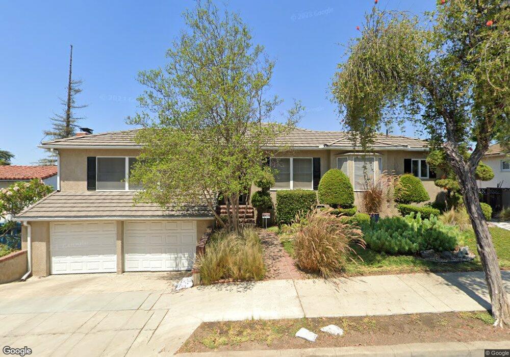
6773 Worsham Dr Whittier, CA 90602
Whittier College NeighborhoodEstimated Value: $1,036,000 - $1,207,000
4
Beds
2
Baths
2,132
Sq Ft
$526/Sq Ft
Est. Value
About This Home
This home is located at 6773 Worsham Dr, Whittier, CA 90602 and is currently estimated at $1,120,521, approximately $525 per square foot. 6773 Worsham Dr is a home located in Los Angeles County with nearby schools including Lou Henry Hoover Elementary School, Walter F. Dexter Middle School, and Whittier High School.
Ownership History
Date
Name
Owned For
Owner Type
Purchase Details
Closed on
Jul 11, 2011
Sold by
Moorhead Nancy M and Thomas Marjorie M
Bought by
Marquardt Melvin F and Marquardt Zo D
Current Estimated Value
Home Financials for this Owner
Home Financials are based on the most recent Mortgage that was taken out on this home.
Original Mortgage
$240,000
Interest Rate
4.46%
Mortgage Type
Seller Take Back
Purchase Details
Closed on
Apr 11, 1994
Sold by
Marquardt Melvin F and Marquardt Zo D
Bought by
Marquardt Melvin F and Marquardt Zo D
Create a Home Valuation Report for This Property
The Home Valuation Report is an in-depth analysis detailing your home's value as well as a comparison with similar homes in the area
Home Values in the Area
Average Home Value in this Area
Purchase History
| Date | Buyer | Sale Price | Title Company |
|---|---|---|---|
| Marquardt Melvin F | $320,000 | Investors Title Company | |
| Marquardt Melvin F | -- | -- |
Source: Public Records
Mortgage History
| Date | Status | Borrower | Loan Amount |
|---|---|---|---|
| Previous Owner | Marquardt Melvin F | $240,000 |
Source: Public Records
Tax History Compared to Growth
Tax History
| Year | Tax Paid | Tax Assessment Tax Assessment Total Assessment is a certain percentage of the fair market value that is determined by local assessors to be the total taxable value of land and additions on the property. | Land | Improvement |
|---|---|---|---|---|
| 2025 | $2,118 | $133,615 | $46,057 | $87,558 |
| 2024 | $2,118 | $130,996 | $45,154 | $85,842 |
| 2023 | $2,064 | $128,428 | $44,269 | $84,159 |
| 2022 | $1,992 | $125,910 | $43,401 | $82,509 |
| 2021 | $1,914 | $123,442 | $42,550 | $80,892 |
| 2019 | $1,891 | $119,783 | $41,289 | $78,494 |
| 2018 | $1,829 | $117,435 | $40,480 | $76,955 |
| 2016 | $1,702 | $112,877 | $38,909 | $73,968 |
| 2015 | $1,690 | $111,182 | $38,325 | $72,857 |
| 2014 | $1,684 | $109,005 | $37,575 | $71,430 |
Source: Public Records
Map
Nearby Homes
- 6723 Hillside Ln
- 6769 Hillside Ln
- 7013 Hillside Ln
- 13707 Philadelphia St
- 13867 Philadelphia St
- 13751 Penn St
- 13664 Earlham Dr
- 13733 Franklin St
- 7339 College Ave
- 13513 Penn St
- 6233 Haviland Ave
- 14001 Summit Dr
- 7604 Forest Ave
- 13517 Franklin St
- 7251 Painter Ave Unit 7255
- 13702 Mar Vista St
- 13570 Turnbull Canyon Rd
- 6256 Friends Ave
- 6231 Painter Ave
- 7032 Washington Ave
- 6779 Worsham Dr
- 6720 Hillside Ln
- 6770 Hillside Ln
- 6767 Worsham Dr
- 6759 Worsham Dr
- 6787 Worsham Dr
- 6733 Hillside Ln
- 6772 Worsham Dr
- 6741 Hillside Ln
- 6715 Hillside Ln
- 6710 Hillside Ln
- 6793 Worsham Dr
- 6762 Worsham Dr
- 6753 Worsham Dr
- 6751 Hillside Ln
- 13746 Philadelphia St
- 13750 Philadelphia St
- 13742 Philadelphia St
- 13766 Philadelphia St
- 13754 Philadelphia St