Estimated Value: $279,000 - $317,000
3
Beds
2
Baths
1,445
Sq Ft
$206/Sq Ft
Est. Value
About This Home
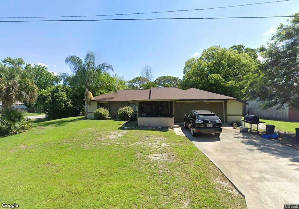
This home is located at 6795 Cairo Rd, Cocoa, FL 32927 and is currently estimated at $298,135, approximately $206 per square foot. 6795 Cairo Rd is a home located in Brevard County with nearby schools including Enterprise Elementary School, Space Coast Junior/Senior High School, and Sculptor Charter School.
Create a Home Valuation Report for This Property
The Home Valuation Report is an in-depth analysis detailing your home's value as well as a comparison with similar homes in the area
Home Values in the Area
Average Home Value in this Area
Tax History
| Year | Tax Paid | Tax Assessment Tax Assessment Total Assessment is a certain percentage of the fair market value that is determined by local assessors to be the total taxable value of land and additions on the property. | Land | Improvement |
|---|---|---|---|---|
| 2025 | $3,584 | $82,370 | -- | -- |
| 2024 | $3,548 | $80,050 | -- | -- |
| 2023 | $3,548 | $77,720 | $0 | $0 |
| 2022 | $3,458 | $75,460 | $0 | $0 |
| 2021 | $1,046 | $73,270 | $0 | $0 |
| 2020 | $988 | $72,260 | $0 | $0 |
| 2019 | $935 | $70,640 | $0 | $0 |
| 2018 | $936 | $69,330 | $0 | $0 |
| 2017 | $935 | $67,910 | $0 | $0 |
| 2016 | $943 | $66,520 | $18,000 | $48,520 |
| 2015 | $952 | $66,060 | $15,000 | $51,060 |
| 2014 | $956 | $65,540 | $11,000 | $54,540 |
Source: Public Records
Map
Nearby Homes
- 6760 Cairo Rd
- 6815 Bryant Rd
- 6615 Dock Ave
- 7065 Hundred Acre Dr
- 5155 Mayflower St
- 00 Unknown
- 5075 Carter St
- 6990 Bryant Rd
- 5555 Brandon St
- 6450 Ember Ave
- 5165 Patricia St
- 6620 Grissom Pkwy
- 5080 Mayflower St
- 6581 Bancroft Ave
- 0000 Grissom Pkwy
- 6398 Cable Ave
- 6481 La Brea Ave
- 7045 Grissom Pkwy
- 5680 Brandon St
- 5200 Frisco St
Your Personal Tour Guide
Ask me questions while you tour the home.