68 Bennett Brook Rd Franklin, NH 03235
Estimated Value: $449,741 - $610,000
2
Beds
2
Baths
2,835
Sq Ft
$181/Sq Ft
Est. Value
About This Home
This home is located at 68 Bennett Brook Rd, Franklin, NH 03235 and is currently estimated at $511,935, approximately $180 per square foot. 68 Bennett Brook Rd is a home located in Merrimack County with nearby schools including Paul A. Smith School, Franklin Middle School, and Franklin High School.
Ownership History
Date
Name
Owned For
Owner Type
Purchase Details
Closed on
Jun 17, 2022
Sold by
Lard John L and Lard Barbara J
Bought by
Gilman-Lard Sarah B and Lard Michael G
Current Estimated Value
Home Financials for this Owner
Home Financials are based on the most recent Mortgage that was taken out on this home.
Original Mortgage
$232,000
Outstanding Balance
$219,482
Interest Rate
5.27%
Mortgage Type
Purchase Money Mortgage
Estimated Equity
$292,453
Create a Home Valuation Report for This Property
The Home Valuation Report is an in-depth analysis detailing your home's value as well as a comparison with similar homes in the area
Home Values in the Area
Average Home Value in this Area
Purchase History
| Date | Buyer | Sale Price | Title Company |
|---|---|---|---|
| Gilman-Lard Sarah B | $350,000 | None Available |
Source: Public Records
Mortgage History
| Date | Status | Borrower | Loan Amount |
|---|---|---|---|
| Open | Gilman-Lard Sarah B | $232,000 |
Source: Public Records
Tax History
| Year | Tax Paid | Tax Assessment Tax Assessment Total Assessment is a certain percentage of the fair market value that is determined by local assessors to be the total taxable value of land and additions on the property. | Land | Improvement |
|---|---|---|---|---|
| 2025 | $6,834 | $387,662 | $109,962 | $277,700 |
| 2024 | $6,650 | $387,773 | $110,073 | $277,700 |
| 2023 | $6,305 | $387,788 | $110,088 | $277,700 |
| 2022 | $5,289 | $216,866 | $80,266 | $136,600 |
| 2021 | $5,013 | $215,991 | $80,391 | $135,600 |
| 2020 | $4,722 | $206,753 | $80,453 | $126,300 |
| 2019 | $4,646 | $206,753 | $80,453 | $126,300 |
| 2018 | $4,540 | $206,729 | $80,429 | $126,300 |
| 2017 | $4,734 | $185,210 | $35,910 | $149,300 |
| 2016 | $4,671 | $185,140 | $0 | $0 |
| 2015 | $3,622 | $145,180 | $40,740 | $104,440 |
| 2011 | $4,765 | $221,400 | $58,900 | $162,500 |
Source: Public Records
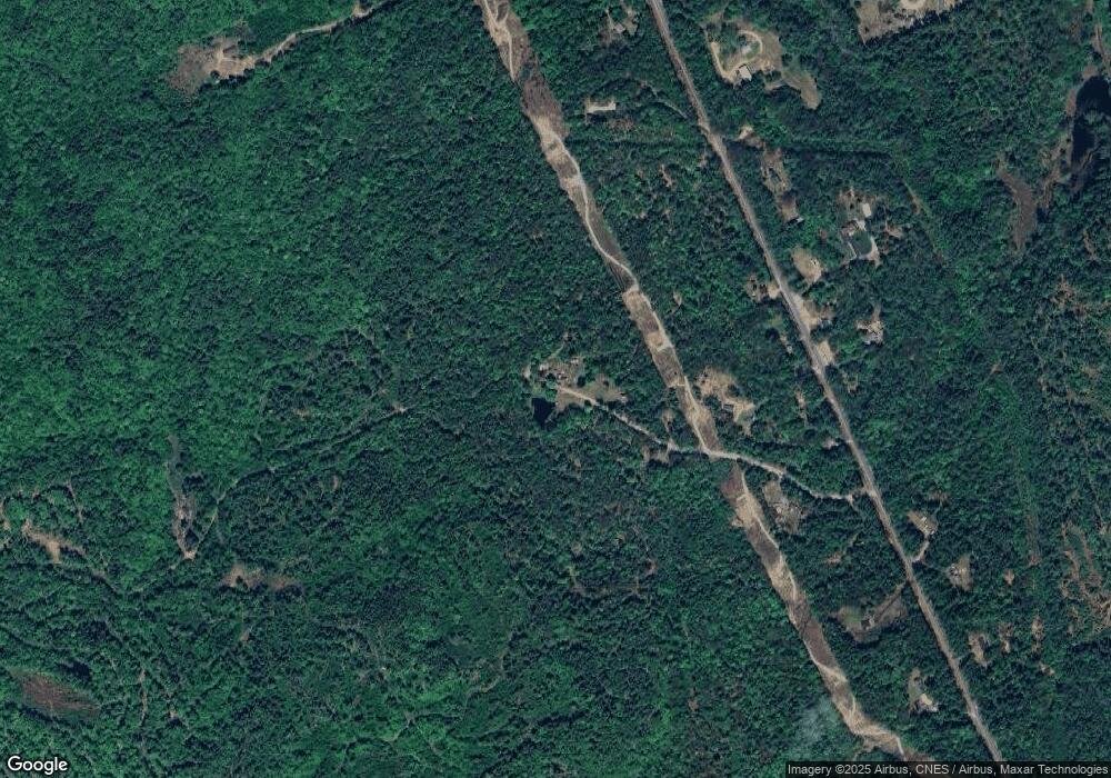
Map
Nearby Homes
- 0 Murray Hill Rd Unit 5-1
- 215 Lake Shore Dr
- 28 Pine Colony Rd
- 95 Gile Pond Rd
- 251 Hill Rd
- 97 Webster Ave
- 881 Franklin Hwy
- 53 Lark St
- 161 Tucker Mountain Rd
- 00 Finch and Kidder Ave
- 36 Lark St
- 10 Frances St
- 21 Lake Ave
- 49 Tioga Rd
- 32 Maple St
- 00 Borough Rd Unit 1,2
- 27 Bond St
- 780 Flaghole Rd
- 0 Mountain Rd Unit 5064513
- 4 Trail St
- 00 Bennet Brook Rd Unit 27-401-000, 27-401-0
- 00 Bennet Brook Rd Unit 27-401-000
- 1022 Hill Rd
- 1040 Hill Rd
- 1016 Hill Rd
- 1030 Hill Rd
- 1024 Hill Rd
- 1029 Hill Rd
- 1 Nh Route 3a
- 1029 New Hampshire 3a
- 1008 Hill Rd
- 6 Liden Rd
- 1065 Hill Rd
- 1023 Hill Rd
- 1043 Hill Rd
- 25 Nh Route 3a
- 50 Nh Route 3a
- 50 Nh Route 3a
- 158 Bennett Brook Rd
- 972 Hill Rd
Your Personal Tour Guide
Ask me questions while you tour the home.