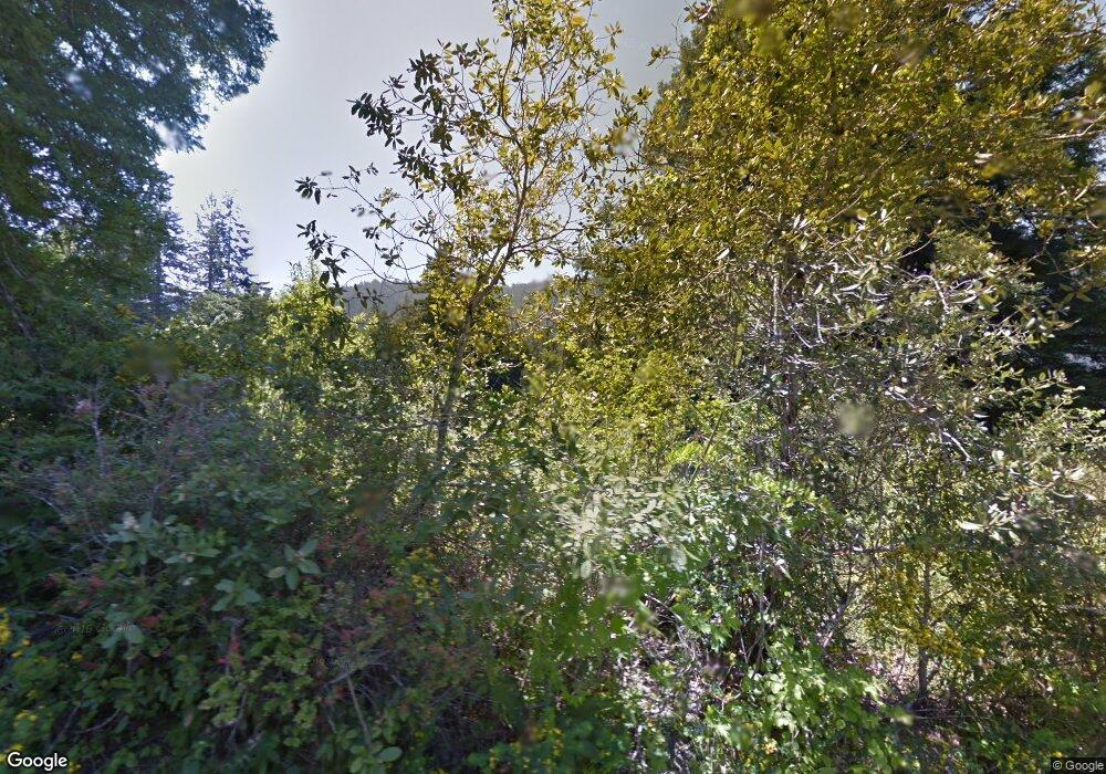
680 Newton Rd Weott, CA 95571
Weott NeighborhoodEstimated Value: $114,000 - $290,000
Studio
--
Bath
--
Sq Ft
35,501
Sq Ft
About This Home
This home is located at 680 Newton Rd, Weott, CA 95571 and is currently estimated at $224,607. 680 Newton Rd is a home.
Ownership History
Date
Name
Owned For
Owner Type
Purchase Details
Closed on
Jul 24, 2013
Sold by
Johnston Gary L
Bought by
Johnston Gary L
Current Estimated Value
Home Financials for this Owner
Home Financials are based on the most recent Mortgage that was taken out on this home.
Original Mortgage
$200,000
Outstanding Balance
$97,568
Interest Rate
3.98%
Mortgage Type
New Conventional
Estimated Equity
$127,039
Purchase Details
Closed on
May 8, 2001
Sold by
Wilkinson Walter Henry
Bought by
Johnston Gary L
Create a Home Valuation Report for This Property
The Home Valuation Report is an in-depth analysis detailing your home's value as well as a comparison with similar homes in the area
Home Values in the Area
Average Home Value in this Area
Purchase History
| Date | Buyer | Sale Price | Title Company |
|---|---|---|---|
| Johnston Gary L | -- | Fidelity National Title Comp | |
| Johnston Gary L | $17,500 | -- |
Source: Public Records
Mortgage History
| Date | Status | Borrower | Loan Amount |
|---|---|---|---|
| Open | Johnston Gary L | $200,000 |
Source: Public Records
Tax History
| Year | Tax Paid | Tax Assessment Tax Assessment Total Assessment is a certain percentage of the fair market value that is determined by local assessors to be the total taxable value of land and additions on the property. | Land | Improvement |
|---|---|---|---|---|
| 2025 | $2,165 | $194,356 | $45,191 | $149,165 |
| 2024 | $2,165 | $190,546 | $44,305 | $146,241 |
| 2023 | $2,173 | $186,811 | $43,437 | $143,374 |
| 2022 | $2,141 | $183,149 | $42,586 | $140,563 |
| 2021 | $2,062 | $179,558 | $41,751 | $137,807 |
| 2020 | $2,074 | $177,717 | $41,323 | $136,394 |
| 2019 | $2,023 | $174,233 | $40,513 | $133,720 |
| 2018 | $1,990 | $170,818 | $39,719 | $131,099 |
| 2017 | $1,953 | $167,470 | $38,941 | $128,529 |
| 2016 | $1,942 | $164,187 | $38,178 | $126,009 |
| 2015 | -- | $161,722 | $37,605 | $124,117 |
| 2014 | -- | $158,555 | $36,869 | $121,686 |
Source: Public Records
Map
Nearby Homes
- 62 Spur St
- 220 Lum St
- 69 Spring St
- 17 Maple Dr
- 220 Madrone Rd
- 232 Myers Ave
- 235 Orchard Way
- 255 Sorenson Rd
- 9819 Dyerville Loop Rd
- 10167 Dyerville Loop Rd
- 7425 Salmon Creek Rd
- 3830 Thomas Rd
- 926 Holmes Flat Rd
- 000 Holmes Flat Rd
- 2375 Salmon Creek Rd
- 3222 Salmon Creek Rd
- 353 Holmes Flat Rd
- 400 Carol Ln
- 3790 Thomas Rd
- 00 Panther Gap Rd
Your Personal Tour Guide
Ask me questions while you tour the home.
