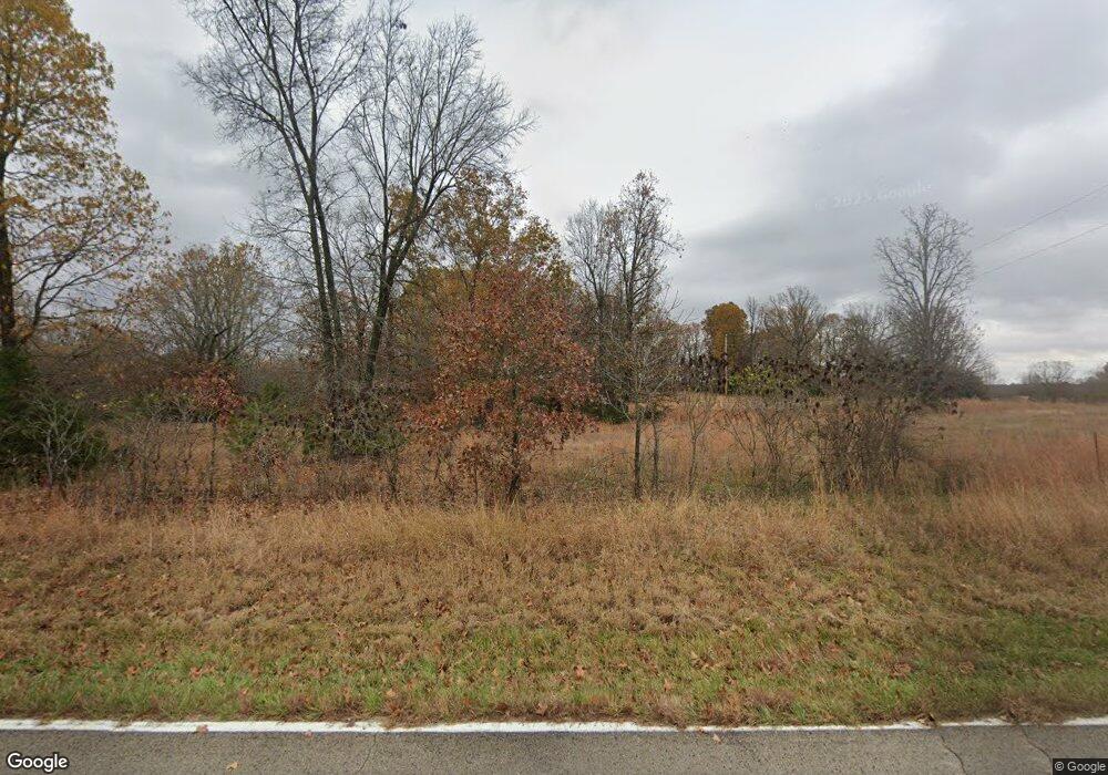
6801 State Route 142 West Plains, MO 65775
Estimated Value: $234,562 - $258,000
--
Bed
--
Bath
1,608
Sq Ft
$152/Sq Ft
Est. Value
About This Home
This home is located at 6801 State Route 142, West Plains, MO 65775 and is currently estimated at $244,641, approximately $152 per square foot. 6801 State Route 142 is a home with nearby schools including Glenwood Elementary School.
Ownership History
Date
Name
Owned For
Owner Type
Purchase Details
Closed on
Apr 9, 2024
Sold by
Barker Garry Bruce
Bought by
Smith John and Smith Rebecca
Current Estimated Value
Purchase Details
Closed on
Oct 18, 2021
Sold by
Nobles Kay L
Bought by
Barker Garry Bruce
Home Financials for this Owner
Home Financials are based on the most recent Mortgage that was taken out on this home.
Original Mortgage
$60,000
Interest Rate
2.8%
Mortgage Type
New Conventional
Create a Home Valuation Report for This Property
The Home Valuation Report is an in-depth analysis detailing your home's value as well as a comparison with similar homes in the area
Home Values in the Area
Average Home Value in this Area
Purchase History
| Date | Buyer | Sale Price | Title Company |
|---|---|---|---|
| Smith John | -- | None Listed On Document | |
| Barker Garry Bruce | -- | New Title Company Name |
Source: Public Records
Mortgage History
| Date | Status | Borrower | Loan Amount |
|---|---|---|---|
| Previous Owner | Barker Garry Bruce | $60,000 |
Source: Public Records
Tax History Compared to Growth
Tax History
| Year | Tax Paid | Tax Assessment Tax Assessment Total Assessment is a certain percentage of the fair market value that is determined by local assessors to be the total taxable value of land and additions on the property. | Land | Improvement |
|---|---|---|---|---|
| 2025 | $691 | $20,420 | $3,140 | $17,280 |
| 2024 | $626 | $18,260 | -- | -- |
| 2023 | $626 | $18,260 | $0 | $0 |
| 2022 | $593 | $17,330 | $0 | $0 |
| 2021 | $580 | $17,330 | $0 | $0 |
| 2020 | $580 | $16,440 | $0 | $0 |
| 2019 | $610 | $16,440 | $0 | $0 |
| 2018 | $589 | $15,890 | $0 | $0 |
| 2017 | $577 | $15,890 | $0 | $0 |
| 2015 | -- | $15,510 | $0 | $0 |
| 2014 | -- | $15,490 | $0 | $0 |
| 2013 | -- | $15,490 | $0 | $0 |
Source: Public Records
Map
Nearby Homes
- 14524 Missouri 17
- 13705 Missouri 17
- 7260 County Road 9580
- 0 County Road 8370
- 14586 County Road 9290
- 000 County Road 8390
- 01 State Highway 142
- 12786 County Road 8870
- 12794 County Road 8790
- 1212 Mill Creek Cir
- 000 County Road 9230
- 12301 Missouri 17
- 6226 County Road 9300
- 0 Tbd Red Bud Rd
- 4551 Highway 395 N
- 5160 County Road 9380
- 000 County Road 9640
- 5122 County Road 9380
- 253 Coyote Rd
- 9105 County Road 9960
- 6875 State Route 142
- 6875 Missouri 142
- 14365 State Route 17
- 14323 State Route 17
- 14401 State Route 17
- 14408 Missouri 17
- Hwy 17 14430 St Rt 17
- 14410 Missouri 17
- 14445 State Route 17
- 14448 State Route 17
- 14442 State Route 17
- 14466 State Route 17
- 14322 State Route 17
- 6904 County Road 9880
- 7061 State Route 142
- Tbd 9880
- 17 W State Route 17 St
- 14524 State Route 17
- 6983 County Road 9900
- 7015 County Road 9900
