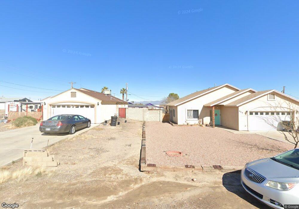
681 W Frying Pan Rd Safford, AZ 85546
Estimated Value: $318,000 - $381,000
--
Bed
--
Bath
2,166
Sq Ft
$159/Sq Ft
Est. Value
About This Home
This home is located at 681 W Frying Pan Rd, Safford, AZ 85546 and is currently estimated at $344,220, approximately $158 per square foot. 681 W Frying Pan Rd is a home located in Graham County with nearby schools including Dorothy Stinson School, Ruth Powell Elementary School, and Lafe Nelson School.
Ownership History
Date
Name
Owned For
Owner Type
Purchase Details
Closed on
Sep 9, 2022
Sold by
Ramirez Jr Geovanny E and Ramirez Kaden B
Bought by
Ramirez Geovanny E and Klajda Kaden B
Current Estimated Value
Home Financials for this Owner
Home Financials are based on the most recent Mortgage that was taken out on this home.
Original Mortgage
$244,200
Outstanding Balance
$233,248
Interest Rate
5.22%
Mortgage Type
FHA
Estimated Equity
$110,972
Purchase Details
Closed on
Jun 10, 2021
Sold by
Ramirez Geovanny E and Klajda Kaden B
Bought by
Ramirez Geovanny E and Klajda Kadem B
Home Financials for this Owner
Home Financials are based on the most recent Mortgage that was taken out on this home.
Original Mortgage
$189,595
Interest Rate
2.9%
Mortgage Type
FHA
Purchase Details
Closed on
May 8, 2019
Sold by
Motes Nathen L and Motes Donna
Bought by
Ramirez Geovanny E and Klajda Kaden B
Home Financials for this Owner
Home Financials are based on the most recent Mortgage that was taken out on this home.
Original Mortgage
$191,468
Interest Rate
4.75%
Mortgage Type
FHA
Purchase Details
Closed on
Dec 11, 2011
Sold by
Carter James D
Bought by
Motes Nathen L
Purchase Details
Closed on
Oct 28, 2009
Sold by
Mandelke Samantha
Bought by
Bac Home Loans Servicing Lp
Purchase Details
Closed on
Aug 1, 2007
Sold by
Carter Ginny
Bought by
Carter James D
Home Financials for this Owner
Home Financials are based on the most recent Mortgage that was taken out on this home.
Original Mortgage
$160,000
Interest Rate
6.62%
Mortgage Type
New Conventional
Purchase Details
Closed on
Nov 15, 2005
Sold by
Overall Amanda S
Bought by
Overall Scott D
Home Financials for this Owner
Home Financials are based on the most recent Mortgage that was taken out on this home.
Original Mortgage
$139,500
Interest Rate
8.95%
Mortgage Type
Balloon
Create a Home Valuation Report for This Property
The Home Valuation Report is an in-depth analysis detailing your home's value as well as a comparison with similar homes in the area
Home Values in the Area
Average Home Value in this Area
Purchase History
| Date | Buyer | Sale Price | Title Company |
|---|---|---|---|
| Ramirez Geovanny E | -- | Madison Settlement Services | |
| Ramirez Geovanny E | -- | None Available | |
| Ramirez Geovanny E | $195,000 | Stewart Title & Tr Safford | |
| Motes Nathen L | -- | Safford Title Agency | |
| Bac Home Loans Servicing Lp | $87,231 | Pioneer Title Agency | |
| Carter James D | -- | Pioneer Title Agency | |
| Carter James D | $160,000 | Pioneer Title Agency | |
| Overall Scott D | -- | Safford Title Agency | |
| Overall Scott D | $155,000 | Safford Title Agency |
Source: Public Records
Mortgage History
| Date | Status | Borrower | Loan Amount |
|---|---|---|---|
| Open | Ramirez Geovanny E | $244,200 | |
| Previous Owner | Ramirez Geovanny E | $189,595 | |
| Previous Owner | Ramirez Geovanny E | $191,468 | |
| Previous Owner | Carter James D | $160,000 | |
| Previous Owner | Overall Scott D | $139,500 |
Source: Public Records
Tax History Compared to Growth
Tax History
| Year | Tax Paid | Tax Assessment Tax Assessment Total Assessment is a certain percentage of the fair market value that is determined by local assessors to be the total taxable value of land and additions on the property. | Land | Improvement |
|---|---|---|---|---|
| 2026 | $1,297 | -- | -- | -- |
| 2025 | $1,297 | $21,140 | $942 | $20,198 |
| 2024 | $1,335 | $19,493 | $942 | $18,551 |
| 2023 | $1,335 | $16,959 | $892 | $16,067 |
| 2022 | $1,307 | $15,243 | $991 | $14,252 |
| 2021 | $1,423 | $0 | $0 | $0 |
| 2020 | $1,367 | $0 | $0 | $0 |
| 2019 | $1,428 | $0 | $0 | $0 |
| 2018 | $1,346 | $0 | $0 | $0 |
| 2017 | $1,271 | $0 | $0 | $0 |
| 2016 | $1,186 | $0 | $0 | $0 |
| 2015 | $1,093 | $0 | $0 | $0 |
Source: Public Records
Map
Nearby Homes
- 000 S Branding Iron Rd Unit 38
- 0 Us Hwy 191 -- Unit 13 6846235
- 0 Us Hwy 191 Unit 13 22509576
- 0000 W Doggie Dr Unit 163
- TBA W Doggie Dr
- TBD #5 Tbd Hwy 191 Unit 5
- 6850 S Us Highway 191
- 7577 S Pommel St
- 0 Lariat Way Unit 22994149
- 7910 U S 191
- tbd Pommel St Unit B
- TBD Quartz Ridge
- 8420 S Ute Cir
- 8495 Navajo Dr
- 0.23ac Yavapai Dr Unit 272
- 8583 S Thunderbird Dr
- 8615 S Thunderbird Dr
- 8656 Yavapai Dr
- 1601 E 68th Place
- 8944 S Thomas Place
- 681 W Frying Pan Dr
- 639 W Frying Pan Dr
- 678 W Roadrunner St
- 664 W Roadrunner St
- 7222 S Branding Iron Rd
- 626 W Roadrunner St
- 7236 S Branding Iron Rd
- TBD Roadrunner St
- TBD Roadrunner St Unit 508
- 0 Roadrunner St
- 600 W Roadrunner St
- 675 W Roadrunner St
- 645 W Roadrunner St
- 7244 S Branding Iron Rd
- 7223 S Us Highway 191
- 7223 S Us Highway 191
- 629 W Roadrunner St
- 7163 S Us Highway 191
- 533 W Frying Pan Rd
- 548 W Roadrunner St