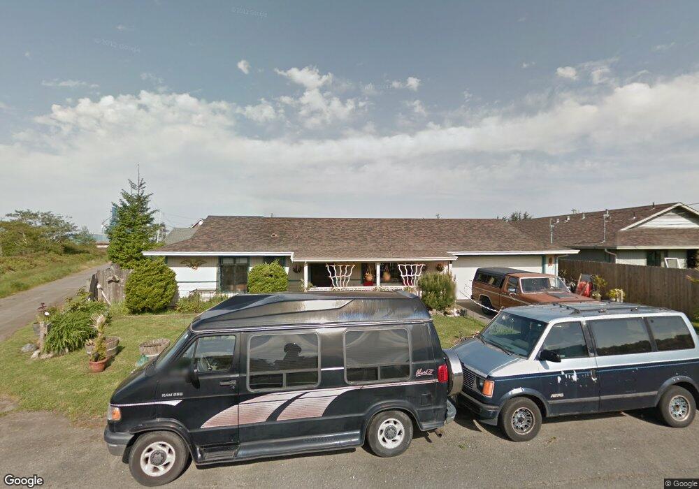
6820 Harrison St Fields Landing, CA 95537
Fields Landing NeighborhoodEstimated Value: $248,000 - $344,000
About This Home
This home is located at 6820 Harrison St, Fields Landing, CA 95537 and is currently estimated at $293,869, approximately $293 per square foot. 6820 Harrison St is a home with nearby schools including South Bay Elementary School and Pine Hill Elementary School.
Ownership History
We collect this data history from publicly available records. To have your information removed, we recommend requesting removal directly through your county’s website.
Purchase Details
Purchase Details
Home Financials for this Owner
Home Financials are based on the most recent Mortgage that was taken out on this home.Home Values in the Area
Average Home Value in this Area
Purchase History
We collect this data history from publicly available records. To have your information removed, we recommend requesting removal directly through your county’s website.
| Date | Buyer | Sale Price | Title Company |
|---|---|---|---|
| -- | -- | ||
| $123,000 | Humboldt Land Title Company |
Mortgage History
We collect this data history from publicly available records. To have your information removed, we recommend requesting removal directly through your county’s website.
| Date | Status | Borrower | Loan Amount |
|---|---|---|---|
| Previous Owner | $120,834 |
Tax History
We collect this data history from publicly available records. To have your information removed, we recommend requesting removal directly through your county’s website.
| Year | Tax Paid | Tax Assessment Tax Assessment Total Assessment is a certain percentage of the fair market value that is determined by local assessors to be the total taxable value of land and additions on the property. | Land | Improvement |
|---|---|---|---|---|
| 2025 | $1,858 | $177,732 | $50,680 | $127,052 |
| 2024 | $1,858 | $174,248 | $49,687 | $124,561 |
| 2023 | $1,784 | $170,832 | $48,713 | $122,119 |
| 2022 | $1,882 | $167,483 | $47,758 | $119,725 |
| 2021 | $1,759 | $164,200 | $46,822 | $117,378 |
| 2020 | $1,711 | $162,517 | $46,342 | $116,175 |
| 2019 | $1,675 | $159,332 | $45,434 | $113,898 |
| 2018 | $1,648 | $156,209 | $44,544 | $111,665 |
| 2017 | $1,645 | $153,147 | $43,671 | $109,476 |
| 2016 | $1,642 | $150,145 | $42,815 | $107,330 |
| 2015 | -- | $147,890 | $42,172 | $105,718 |
| 2014 | -- | $144,994 | $41,346 | $103,648 |
Map
- 6792 Harrison St
- 6811 West Ave
- 6811 Harrison Ave
- 6825 West Ave
- 6791 Harrison St
- 6780 Harrison Ave
- 6772 Harrison St
- 6771 Harrison St
- 6773 West Ave
- 6814 West Ave
- 6818 West Ave
- 6820 West Ave
- 6762 Harrison Ave
- 6790 Fields Landing Dr
- 6776 West Ave
- 350 Central Ave
- 6770 London Dr
- 279 Civic Ave
- 6772 West Ave
- 300 Depot Rd
Ask me questions while you tour the home.