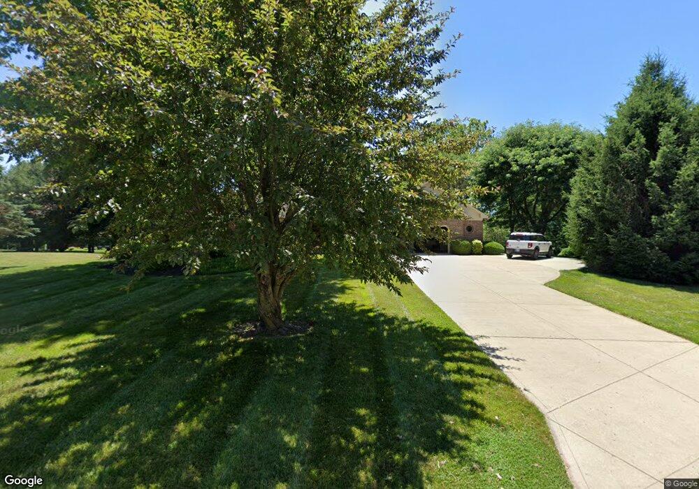
6835 Katie Ct Plainfield, IN 46168
Estimated Value: $349,000 - $438,497
5
Beds
4
Baths
3,213
Sq Ft
$118/Sq Ft
Est. Value
About This Home
This home is located at 6835 Katie Ct, Plainfield, IN 46168 and is currently estimated at $379,624, approximately $118 per square foot. 6835 Katie Ct is a home located in Hendricks County with nearby schools including Clarks Creek Elementary, Plainfield Community Middle School, and Plainfield High School.
Ownership History
Date
Name
Owned For
Owner Type
Purchase Details
Closed on
Dec 24, 2020
Sold by
Beasley Gregory K and Beasley Charity
Bought by
Beasley Charity
Current Estimated Value
Home Financials for this Owner
Home Financials are based on the most recent Mortgage that was taken out on this home.
Original Mortgage
$263,000
Outstanding Balance
$232,525
Interest Rate
2.7%
Mortgage Type
New Conventional
Estimated Equity
$147,099
Purchase Details
Closed on
Oct 19, 2007
Sold by
Beal Bart A and Beal Bonnie G
Bought by
Beasley Gregory K and Beasley Charity D
Home Financials for this Owner
Home Financials are based on the most recent Mortgage that was taken out on this home.
Original Mortgage
$270,000
Interest Rate
6.38%
Mortgage Type
New Conventional
Create a Home Valuation Report for This Property
The Home Valuation Report is an in-depth analysis detailing your home's value as well as a comparison with similar homes in the area
Home Values in the Area
Average Home Value in this Area
Purchase History
| Date | Buyer | Sale Price | Title Company |
|---|---|---|---|
| Beasley Charity | -- | None Available | |
| Beasley Gregory K | -- | None Available |
Source: Public Records
Mortgage History
| Date | Status | Borrower | Loan Amount |
|---|---|---|---|
| Open | Beasley Charity | $263,000 | |
| Closed | Beasley Gregory K | $270,000 |
Source: Public Records
Tax History
| Year | Tax Paid | Tax Assessment Tax Assessment Total Assessment is a certain percentage of the fair market value that is determined by local assessors to be the total taxable value of land and additions on the property. | Land | Improvement |
|---|---|---|---|---|
| 2024 | $2,828 | $368,400 | $45,700 | $322,700 |
| 2023 | $2,675 | $359,000 | $43,500 | $315,500 |
| 2022 | $2,777 | $341,600 | $42,000 | $299,600 |
| 2021 | $2,357 | $301,600 | $42,000 | $259,600 |
| 2020 | $2,157 | $277,600 | $42,000 | $235,600 |
| 2019 | $1,978 | $260,400 | $38,900 | $221,500 |
| 2018 | $2,000 | $254,300 | $38,900 | $215,400 |
| 2017 | $1,991 | $240,700 | $37,300 | $203,400 |
| 2016 | $1,955 | $238,000 | $37,300 | $200,700 |
| 2014 | $1,921 | $226,400 | $35,800 | $190,600 |
Source: Public Records
Map
Nearby Homes
- 6608 Dunsdin Dr
- 6588 Dunsdin Dr
- 5853 Gadsen Dr
- 5586 Gibbs Rd
- ALWICK Plan at Trescott - Gardens
- PARKETTE Plan at Trescott - Gardens
- ALDEN Plan at Trescott - Gardens
- SHELBURN Plan at Trescott - Gardens
- MAJESTIC Plan at Trescott - Overlook
- MAJESTIC Plan at Trescott - Gardens
- BUCHANAN Plan at Trescott - Overlook
- CRESTVIEW Plan at Trescott - Gardens
- VANDERBURGH Plan at Trescott - Gardens
- VANDERBURGH Plan at Trescott - Overlook
- AYDEN Plan at Trescott - Overlook
- BELLEVILLE Plan at Trescott - Overlook
- HORIZON Plan at Trescott - Gardens
- SHELBURN Plan at Trescott - Overlook
- ALDEN Plan at Trescott - Overlook
- BELLEVILLE Plan at Trescott - Gardens
- 6586 Rock Ledge Ct
- 6562 Rock Ledge Ct
- 6204 Trescott Dr
- 6602 Rock Ledge Ct
- 6143 Trescott Dr
- 6115 Trescott Dr
- 6632 Rock Ledge Ct
- 4305 Hamilton Way Unit 22-D
- 6867 Katie Ct
- 6810 Katie Ct
- 6830 Katie Ct
- 5606 Forest Ridge Dr
- 6815 Katie Ct
- 6750 Sara Ct
- 6870 Katie Ct
- 6897 Katie Ct
- 6748 Sara Ct
- 6752 Sara Ct
- 6812 Katie Ct
- 6746 Sara Ct
Your Personal Tour Guide
Ask me questions while you tour the home.