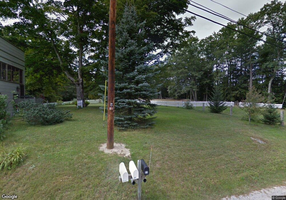
685 Nh Route 175 Campton, NH 03223
Estimated Value: $417,594 - $526,000
3
Beds
2
Baths
2,165
Sq Ft
$213/Sq Ft
Est. Value
About This Home
This home is located at 685 Nh Route 175, Campton, NH 03223 and is currently estimated at $460,149, approximately $212 per square foot. 685 Nh Route 175 is a home located in Grafton County with nearby schools including Campton Elementary School and Plymouth Regional High School.
Ownership History
Date
Name
Owned For
Owner Type
Purchase Details
Closed on
Jul 23, 2002
Sold by
Tustin Carolyn J
Bought by
Smith Kenneth H
Current Estimated Value
Home Financials for this Owner
Home Financials are based on the most recent Mortgage that was taken out on this home.
Original Mortgage
$70,000
Outstanding Balance
$29,716
Interest Rate
6.73%
Estimated Equity
$430,433
Create a Home Valuation Report for This Property
The Home Valuation Report is an in-depth analysis detailing your home's value as well as a comparison with similar homes in the area
Home Values in the Area
Average Home Value in this Area
Purchase History
| Date | Buyer | Sale Price | Title Company |
|---|---|---|---|
| Smith Kenneth H | $75,000 | -- |
Source: Public Records
Mortgage History
| Date | Status | Borrower | Loan Amount |
|---|---|---|---|
| Open | Smith Kenneth H | $70,000 |
Source: Public Records
Tax History Compared to Growth
Tax History
| Year | Tax Paid | Tax Assessment Tax Assessment Total Assessment is a certain percentage of the fair market value that is determined by local assessors to be the total taxable value of land and additions on the property. | Land | Improvement |
|---|---|---|---|---|
| 2024 | $6,027 | $350,000 | $142,500 | $207,500 |
| 2023 | $5,535 | $192,400 | $74,700 | $117,700 |
| 2022 | $4,862 | $192,400 | $74,700 | $117,700 |
| 2021 | $4,804 | $192,400 | $74,700 | $117,700 |
| 2020 | $2,107 | $186,500 | $74,700 | $111,800 |
| 2019 | $2,071 | $186,500 | $74,700 | $111,800 |
| 2018 | $4,235 | $165,900 | $59,300 | $106,600 |
| 2017 | $4,114 | $165,900 | $59,300 | $106,600 |
| 2016 | $1,928 | $165,900 | $59,300 | $106,600 |
| 2015 | $3,695 | $161,300 | $59,300 | $102,000 |
| 2014 | $3,784 | $161,300 | $59,300 | $102,000 |
| 2013 | $3,728 | $186,500 | $61,800 | $124,700 |
Source: Public Records
Map
Nearby Homes
- NH New Hampshire Route 175
- 10-6 Page Rd
- Lot 15 Kelly Way
- 172 Merrill Rd
- 8 Avery Rd
- 18 Panaway Dr
- 90 Sunset Cir
- 5 Wildwood Dr
- 32 Merrill Rd
- 12 Streamside Rd Unit 9
- 12 Streamside Rd Unit 7
- 8 Streamside Rd Unit 3
- 20 Merrill Rd
- 0 Myrtle St Unit 2 5029940
- 73 Ellsworth Hill Rd
- 51 Turkey Jim Rd
- 99 Pinnacle Rd
- 399 Nh Route 49
- 8 Panaway Dr
- 0 Richardson Trail Unit 9 5058146
- 686 Nh Route 175
- 691 Nh Route 175
- 0 Nh Route 175
- 0 Nh Route 175 Unit 4489326
- 0 Nh Route 175 Unit Lot 2 4949321
- 0 Nh Route 175 Unit 4947902
- 0 Nh Route 175 Unit 4003386
- 0 Nh Route 175 Unit Lot 3 4845999
- 0 Nh Route 175 Unit Lot 2 4845993
- 2 Perch Pond Rd
- 689 Nh Route 175
- 682 Nh Route 175
- 12 Perch Pond Rd
- 1 Perch Pond Rd
- 3 Perch Pond Rd
- 6-66 Nh Route 175
- 7 Perch Pond Rd
- 46 Sutters Cir
- 58 Sutters Cir
- 9 Champagne Cir