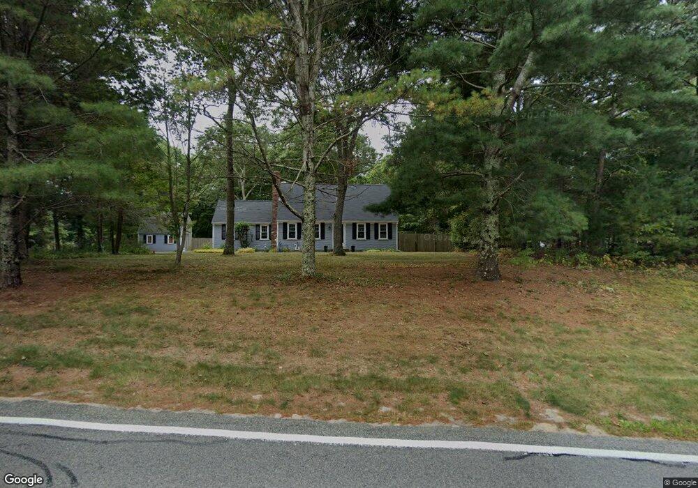
686 Old Barnstable Rd Mashpee, MA 02649
Estimated Value: $653,000 - $696,000
3
Beds
3
Baths
1,684
Sq Ft
$401/Sq Ft
Est. Value
About This Home
This home is located at 686 Old Barnstable Rd, Mashpee, MA 02649 and is currently estimated at $674,722, approximately $400 per square foot. 686 Old Barnstable Rd is a home located in Barnstable County with nearby schools including Kenneth C. Coombs School, Quashnet School, and Mashpee Middle School.
Ownership History
Date
Name
Owned For
Owner Type
Purchase Details
Closed on
Feb 26, 1993
Sold by
Perry Thomas and Perry Deborah L
Bought by
Cameron Jeffrey D and Cameron Catherine M
Current Estimated Value
Home Financials for this Owner
Home Financials are based on the most recent Mortgage that was taken out on this home.
Original Mortgage
$106,553
Interest Rate
8.03%
Mortgage Type
Purchase Money Mortgage
Create a Home Valuation Report for This Property
The Home Valuation Report is an in-depth analysis detailing your home's value as well as a comparison with similar homes in the area
Purchase History
| Date | Buyer | Sale Price | Title Company |
|---|---|---|---|
| Cameron Jeffrey D | $107,000 | -- |
Source: Public Records
Mortgage History
| Date | Status | Borrower | Loan Amount |
|---|---|---|---|
| Closed | Cameron Jeffrey D | $106,553 |
Source: Public Records
Tax History
| Year | Tax Paid | Tax Assessment Tax Assessment Total Assessment is a certain percentage of the fair market value that is determined by local assessors to be the total taxable value of land and additions on the property. | Land | Improvement |
|---|---|---|---|---|
| 2025 | $3,911 | $590,800 | $238,100 | $352,700 |
| 2024 | $3,583 | $557,200 | $216,500 | $340,700 |
| 2023 | $3,387 | $483,200 | $206,200 | $277,000 |
| 2022 | $3,226 | $394,800 | $167,600 | $227,200 |
| 2021 | $3,123 | $344,300 | $144,700 | $199,600 |
| 2020 | $3,013 | $331,500 | $139,200 | $192,300 |
| 2019 | $2,878 | $318,000 | $139,200 | $178,800 |
| 2018 | $2,567 | $307,700 | $139,200 | $168,500 |
| 2017 | $2,629 | $286,100 | $134,600 | $151,500 |
| 2016 | $2,547 | $275,700 | $134,600 | $141,100 |
| 2015 | $2,460 | $270,000 | $134,600 | $135,400 |
| 2014 | $2,502 | $266,500 | $132,900 | $133,600 |
Source: Public Records
Map
Nearby Homes
- 54 Sassacus Rd
- 300 Nathan Ellis Hwy Unit 50
- 20 Twin Oaks Dr
- 20 Twin Oaks Dr Unit 20
- 211 James Cir
- 17 Twin Oaks Dr Unit 17
- 44 Twin Oaks Dr Unit 44
- 44 Twin Oaks Dr
- 33 Twin Oaks Dr Unit 33
- 64 Ashton Ave
- 23 Sea Spray Ave Unit 563
- 23 Sea Spray Ave
- 160 Algonquin Ave
- 168 Ninigret Ave
- 114 Doran Dr
- 10 Kettle Ln
- 5 Kettle Ln Unit 38
- 15 Pebble Beach Ave Unit 2005-103
- 15 Pebble Beach Ave
- 50 Pine Hill Blvd Unit 46
- 1 Leather Leaf Ln
- 692 Old Barnstable Rd
- 11 Leather Leaf Ln
- 8 Leather Leaf Ln
- 676 Old Barnstable Rd
- 657 Old Barnstable Rd
- 653 Old Barnstable Rd
- 661 Old Barnstable Rd
- 23 Leather Leaf Ln
- 649 Old Barnstable Rd
- 24 Leather Leaf Ln
- 650 Old Barnstable Rd
- 27 Leather Leaf Ln
- 9 River Run
- 706 Old Barnstable Rd
- 694 Old Barnstable Rd
- 30 Leather Leaf Ln
- 11 River Run
- 33 Leather Leaf Ln
- 645 Old Barnstable Rd
Your Personal Tour Guide
Ask me questions while you tour the home.