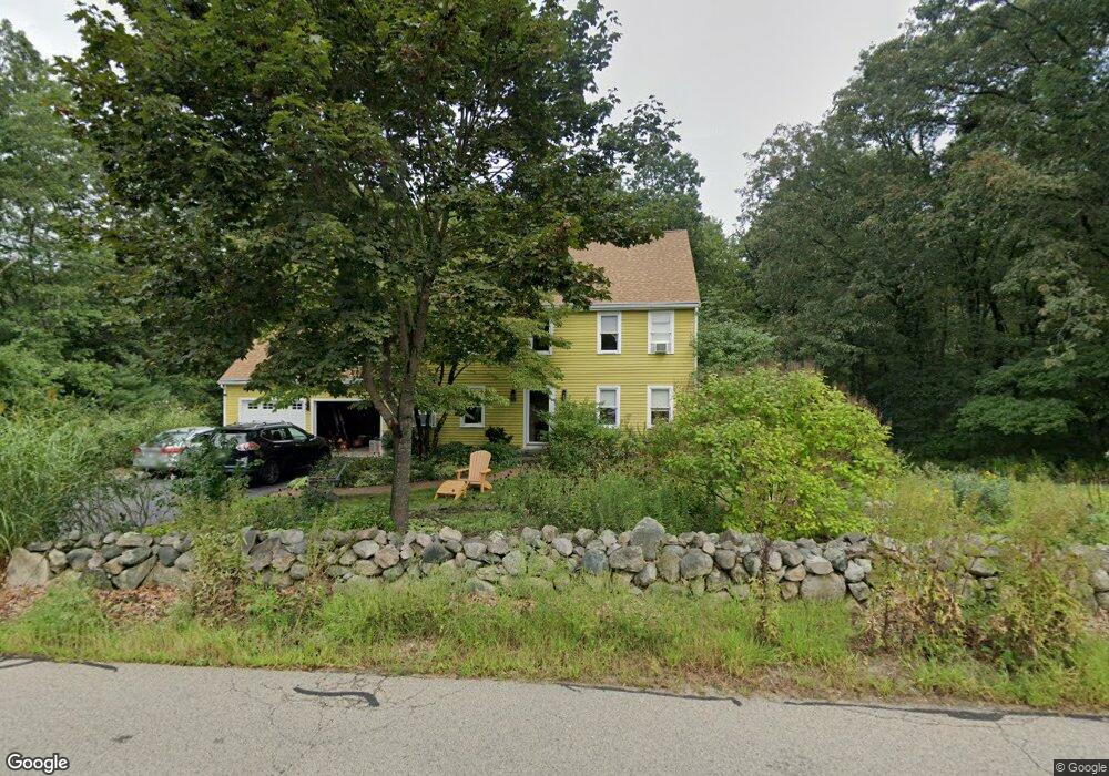
69 Jordan Rd Franklin, MA 02038
Estimated Value: $778,414 - $912,000
4
Beds
3
Baths
1,955
Sq Ft
$421/Sq Ft
Est. Value
About This Home
This home is located at 69 Jordan Rd, Franklin, MA 02038 and is currently estimated at $822,854, approximately $420 per square foot. 69 Jordan Rd is a home located in Norfolk County with nearby schools including Remington Middle School and Franklin High School.
Ownership History
Date
Name
Owned For
Owner Type
Purchase Details
Closed on
Nov 15, 2010
Sold by
Connors Daniel M and Connors Laurie A
Bought by
Connell Peter D and Connell Joanne M
Current Estimated Value
Home Financials for this Owner
Home Financials are based on the most recent Mortgage that was taken out on this home.
Original Mortgage
$260,000
Outstanding Balance
$170,900
Interest Rate
4.35%
Mortgage Type
Purchase Money Mortgage
Estimated Equity
$651,954
Purchase Details
Closed on
Jul 6, 2007
Sold by
Fitzgerald Ft and Fitzgerald Douglas
Bought by
Connors Daniels M and Connors Laurie A
Home Financials for this Owner
Home Financials are based on the most recent Mortgage that was taken out on this home.
Original Mortgage
$330,000
Interest Rate
6.39%
Mortgage Type
Purchase Money Mortgage
Create a Home Valuation Report for This Property
The Home Valuation Report is an in-depth analysis detailing your home's value as well as a comparison with similar homes in the area
Home Values in the Area
Average Home Value in this Area
Purchase History
| Date | Buyer | Sale Price | Title Company |
|---|---|---|---|
| Connell Peter D | $379,000 | -- | |
| Connors Daniels M | $430,000 | -- |
Source: Public Records
Mortgage History
| Date | Status | Borrower | Loan Amount |
|---|---|---|---|
| Open | Connell Peter D | $260,000 | |
| Previous Owner | Connors Daniels M | $330,000 |
Source: Public Records
Tax History Compared to Growth
Tax History
| Year | Tax Paid | Tax Assessment Tax Assessment Total Assessment is a certain percentage of the fair market value that is determined by local assessors to be the total taxable value of land and additions on the property. | Land | Improvement |
|---|---|---|---|---|
| 2025 | $8,049 | $692,700 | $334,800 | $357,900 |
| 2024 | $7,784 | $660,200 | $334,800 | $325,400 |
| 2023 | $7,752 | $616,200 | $290,800 | $325,400 |
| 2022 | $7,147 | $508,700 | $220,300 | $288,400 |
| 2021 | $6,984 | $476,700 | $244,900 | $231,800 |
| 2020 | $6,524 | $449,600 | $228,700 | $220,900 |
| 2019 | $6,469 | $441,300 | $220,600 | $220,700 |
| 2018 | $6,089 | $415,600 | $216,600 | $199,000 |
| 2017 | $5,852 | $401,400 | $202,400 | $199,000 |
| 2016 | $5,687 | $392,200 | $205,000 | $187,200 |
| 2015 | $5,742 | $386,900 | $199,700 | $187,200 |
| 2014 | $5,237 | $362,400 | $175,200 | $187,200 |
Source: Public Records
Map
Nearby Homes
- 11 Elliot Mills Unit 11
- 12 Waites Crossing Way
- 67 Milliken Ave Unit 22
- 1 Uncas Ave
- 324 Pleasant St
- 159 E Central St
- 266 Pleasant St
- 64 Uncas Ave
- 70 Uncas Ave
- 82 Uncas Ave Unit 1
- 40 Cross St
- 90 E Central St Unit 103
- 90 E Central St Unit 106
- 90 E Central St Unit 304
- 90 E Central St Unit 202
- 90 E Central St Unit 105
- 90 E Central St Unit 301
- 76 Dean Ave
- 99 Summer St
- 50 Reed Fulton Ave Unit Lot 61