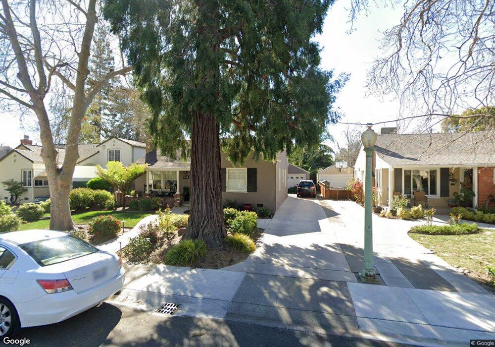
690 Robertson Way Sacramento, CA 95818
Upper Land Park NeighborhoodEstimated Value: $621,000 - $734,000
3
Beds
1
Bath
1,338
Sq Ft
$498/Sq Ft
Est. Value
About This Home
This home is located at 690 Robertson Way, Sacramento, CA 95818 and is currently estimated at $666,901, approximately $498 per square foot. 690 Robertson Way is a home located in Sacramento County with nearby schools including Crocker/Riverside Elementary School, California Middle, and C. K. McClatchy High.
Ownership History
Date
Name
Owned For
Owner Type
Purchase Details
Closed on
Jul 28, 1998
Sold by
Auld Harry D and Auld Pamela L
Bought by
Wolford Patrick A and Wolford Arlene C
Current Estimated Value
Home Financials for this Owner
Home Financials are based on the most recent Mortgage that was taken out on this home.
Original Mortgage
$155,300
Outstanding Balance
$32,342
Interest Rate
6.9%
Estimated Equity
$634,559
Purchase Details
Closed on
Dec 2, 1997
Sold by
Auld Pamela L
Bought by
Auld Harry D and Auld Pamela L
Create a Home Valuation Report for This Property
The Home Valuation Report is an in-depth analysis detailing your home's value as well as a comparison with similar homes in the area
Home Values in the Area
Average Home Value in this Area
Purchase History
| Date | Buyer | Sale Price | Title Company |
|---|---|---|---|
| Wolford Patrick A | $163,500 | Fidelity National Title Co | |
| Auld Harry D | -- | -- |
Source: Public Records
Mortgage History
| Date | Status | Borrower | Loan Amount |
|---|---|---|---|
| Open | Wolford Patrick A | $155,300 |
Source: Public Records
Tax History Compared to Growth
Tax History
| Year | Tax Paid | Tax Assessment Tax Assessment Total Assessment is a certain percentage of the fair market value that is determined by local assessors to be the total taxable value of land and additions on the property. | Land | Improvement |
|---|---|---|---|---|
| 2025 | $3,145 | $256,294 | $62,695 | $193,599 |
| 2024 | $3,145 | $251,269 | $61,466 | $189,803 |
| 2023 | $3,071 | $246,343 | $60,261 | $186,082 |
| 2022 | $3,018 | $241,514 | $59,080 | $182,434 |
| 2021 | $2,879 | $236,779 | $57,922 | $178,857 |
| 2020 | $2,898 | $234,353 | $57,329 | $177,024 |
| 2019 | $2,836 | $229,758 | $56,205 | $173,553 |
| 2018 | $2,763 | $225,253 | $55,103 | $170,150 |
| 2017 | $2,724 | $220,837 | $54,023 | $166,814 |
| 2016 | $2,645 | $216,508 | $52,964 | $163,544 |
| 2015 | $2,606 | $213,257 | $52,169 | $161,088 |
| 2014 | $2,538 | $209,081 | $51,148 | $157,933 |
Source: Public Records
Map
Nearby Homes
- 625 Robertson Way
- 613 Swanston Dr
- 749 3rd Ave Unit 3
- 3098 Riverside Blvd
- 710 7th Ave
- 849 8th Ave
- 808 Fremont Way
- 2766 San Luis Ct
- 2756 San Luis Ct
- 941 McClatchy Way
- 1032 10th Ave
- 601 Dudley Way
- 1259 Milano Dr Unit 2
- 1268 Milano Dr Unit 6
- 2726 Moonflower St
- 1300 Milano Dr Unit 7
- 2750 Moonflower St
- 2643 Cleat Ln Unit 34B
- 1316 Milano Dr Unit 4
- 1323 Milano Dr Unit 2
- 700 Robertson Way
- 684 Robertson Way
- 732 Robertson Way
- 680 Robertson Way
- 665 5th Ave
- 669 5th Ave
- 655 5th Ave
- 773 5th Ave
- 670 Robertson Way
- 748 Robertson Way
- 645 5th Ave
- 777 5th Ave
- 701 Robertson Way
- 685 Robertson Way
- 733 Robertson Way
- 760 Robertson Way
- 660 Robertson Way
- 633 5th Ave
- 681 Robertson Way
- 781 5th Ave