6915 N Buckskin Dr Littleton, CO 80125
Estimated Value: $625,000 - $701,248
3
Beds
3
Baths
3,214
Sq Ft
$208/Sq Ft
Est. Value
About This Home
This home is located at 6915 N Buckskin Dr, Littleton, CO 80125 and is currently estimated at $667,062, approximately $207 per square foot. 6915 N Buckskin Dr is a home located in Douglas County with nearby schools including Roxborough Elementary School, Roxborough Intermediate School, and Ranch View Middle School.
Ownership History
Date
Name
Owned For
Owner Type
Purchase Details
Closed on
Mar 22, 2019
Sold by
Sousa Marilyn Kay
Bought by
Barrera Elizabeth H
Current Estimated Value
Home Financials for this Owner
Home Financials are based on the most recent Mortgage that was taken out on this home.
Original Mortgage
$363,750
Outstanding Balance
$319,798
Interest Rate
4.4%
Mortgage Type
New Conventional
Estimated Equity
$347,264
Purchase Details
Closed on
Nov 20, 2015
Sold by
Mccreery Wayne A and Benedict Kristina K
Bought by
Sousa Marilyn Kay
Home Financials for this Owner
Home Financials are based on the most recent Mortgage that was taken out on this home.
Original Mortgage
$340,000
Interest Rate
3.8%
Mortgage Type
VA
Purchase Details
Closed on
Sep 29, 2003
Sold by
Brittany Homes Inc
Bought by
Mccreery Wayne A and Benedict Kristina K
Create a Home Valuation Report for This Property
The Home Valuation Report is an in-depth analysis detailing your home's value as well as a comparison with similar homes in the area
Home Values in the Area
Average Home Value in this Area
Purchase History
| Date | Buyer | Sale Price | Title Company |
|---|---|---|---|
| Barrera Elizabeth H | $485,000 | Fidelity National Title | |
| Sousa Marilyn Kay | $340,000 | Land Title Guarantee | |
| Mccreery Wayne A | $260,000 | -- |
Source: Public Records
Mortgage History
| Date | Status | Borrower | Loan Amount |
|---|---|---|---|
| Open | Barrera Elizabeth H | $363,750 | |
| Previous Owner | Sousa Marilyn Kay | $340,000 |
Source: Public Records
Tax History Compared to Growth
Tax History
| Year | Tax Paid | Tax Assessment Tax Assessment Total Assessment is a certain percentage of the fair market value that is determined by local assessors to be the total taxable value of land and additions on the property. | Land | Improvement |
|---|---|---|---|---|
| 2024 | $4,063 | $48,120 | -- | $48,120 |
| 2023 | $4,093 | $48,120 | $0 | $48,120 |
| 2022 | $2,965 | $32,400 | $0 | $32,400 |
| 2021 | $3,105 | $32,400 | $0 | $32,400 |
| 2020 | $2,902 | $31,000 | $2,150 | $28,850 |
| 2019 | $2,919 | $31,000 | $2,150 | $28,850 |
| 2018 | $2,935 | $30,170 | $2,160 | $28,010 |
| 2017 | $2,767 | $30,170 | $2,160 | $28,010 |
Source: Public Records
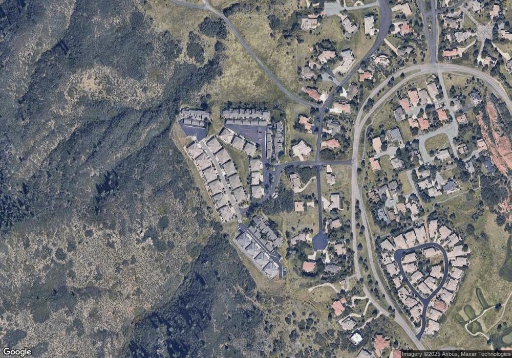
Map
Nearby Homes
- 6948 Buckskin Dr
- 6945 Fargo Trail
- 6941 Fargo Trail
- 6945 N Fargo Trail
- 6958 Buckskin Dr
- 6835 Surrey Trail
- 10991 Expedition
- 6874 Raspberry Run
- 6842 Raspberry Run
- 10506 Brown Fox Trail
- 7188 Raphael Ln
- 11194 W Yucca
- 6480 Willow Broom Trail
- 7208 Raphael Ln
- 11234 W Yucca
- 11196 Lost Arrow
- 6424 Willow Broom Trail
- 6324 Willow Broom Trail
- 6753 Big Horn Trail
- 6260 Rain Dance Trail
- 6921 Buckskin Dr
- 6915 Buckskin Dr Unit 6915
- 6915 Buckskin Dr
- 6911 N Buckskin Dr
- 6925 Buckskin Dr
- 6905 Buckskin Dr
- 6936 Fargo Trail
- 6932 Fargo Trail
- 6936 Fargo Trail
- 6926 Fargo Trail
- 6922 Fargo Trail
- 6948 Fargo Trail
- 6944 Fargo Trail
- 6951 N Buckskin Dr
- 6955 Buckskin Dr
- 6946 Buckskin Dr
- 6923 Fargo Trail
- 6921 Fargo Trail
- 6948 Buckskin Dr Unit 80
- 6962 Fargo Trail