6950 Buckskin Dr Unit 81 Littleton, CO 80125
Estimated Value: $596,000 - $685,000
2
Beds
3
Baths
2,520
Sq Ft
$246/Sq Ft
Est. Value
About This Home
This home is located at 6950 Buckskin Dr Unit 81, Littleton, CO 80125 and is currently estimated at $620,058, approximately $246 per square foot. 6950 Buckskin Dr Unit 81 is a home located in Douglas County with nearby schools including Roxborough Elementary School, Roxborough Intermediate School, and Ranch View Middle School.
Ownership History
Date
Name
Owned For
Owner Type
Purchase Details
Closed on
Feb 28, 2017
Sold by
Martin Shelly L
Bought by
Pappas Paul P and Pappas Nanette J
Current Estimated Value
Home Financials for this Owner
Home Financials are based on the most recent Mortgage that was taken out on this home.
Original Mortgage
$311,082
Outstanding Balance
$258,109
Interest Rate
4.19%
Mortgage Type
VA
Estimated Equity
$361,949
Purchase Details
Closed on
Apr 29, 2008
Sold by
Moody Vernon
Bought by
Citimortgage Inc
Purchase Details
Closed on
Apr 9, 2008
Sold by
Citimortgage Inc
Bought by
Martin Shelly J
Purchase Details
Closed on
Jun 28, 2002
Sold by
Phillips Scott D
Bought by
Moody Vernon
Home Financials for this Owner
Home Financials are based on the most recent Mortgage that was taken out on this home.
Original Mortgage
$176,000
Interest Rate
6.78%
Purchase Details
Closed on
Jun 6, 2000
Sold by
Stephens Stanna K
Bought by
Phillips Scott D
Home Financials for this Owner
Home Financials are based on the most recent Mortgage that was taken out on this home.
Original Mortgage
$167,600
Interest Rate
8.13%
Mortgage Type
VA
Purchase Details
Closed on
Sep 18, 1998
Sold by
Heath Stanna K
Bought by
Stephens Stanna K
Home Financials for this Owner
Home Financials are based on the most recent Mortgage that was taken out on this home.
Original Mortgage
$139,500
Interest Rate
6.91%
Purchase Details
Closed on
Jun 23, 1995
Sold by
Farnham Scott T and Nicholson Judith A
Bought by
Heath Stanna K
Home Financials for this Owner
Home Financials are based on the most recent Mortgage that was taken out on this home.
Original Mortgage
$119,600
Interest Rate
6.62%
Purchase Details
Closed on
Jul 26, 1991
Sold by
Commercial Fed S & L Assn
Bought by
Farnham Scott T and Nicholson Judith A
Purchase Details
Closed on
Oct 25, 1984
Sold by
The Kissell Co
Bought by
Summit Co Dev Co Inc
Create a Home Valuation Report for This Property
The Home Valuation Report is an in-depth analysis detailing your home's value as well as a comparison with similar homes in the area
Home Values in the Area
Average Home Value in this Area
Purchase History
| Date | Buyer | Sale Price | Title Company |
|---|---|---|---|
| Pappas Paul P | $360,000 | Land Title Guarantee Co | |
| Citimortgage Inc | -- | None Available | |
| Martin Shelly J | $141,000 | None Available | |
| Moody Vernon | $220,000 | -- | |
| Phillips Scott D | $167,600 | -- | |
| Stephens Stanna K | -- | -- | |
| Heath Stanna K | $125,900 | Title America | |
| Farnham Scott T | $64,000 | -- | |
| Summit Co Dev Co Inc | $100,000 | -- |
Source: Public Records
Mortgage History
| Date | Status | Borrower | Loan Amount |
|---|---|---|---|
| Open | Pappas Paul P | $311,082 | |
| Previous Owner | Moody Vernon | $176,000 | |
| Previous Owner | Phillips Scott D | $167,600 | |
| Previous Owner | Stephens Stanna K | $139,500 | |
| Previous Owner | Heath Stanna K | $119,600 |
Source: Public Records
Tax History Compared to Growth
Tax History
| Year | Tax Paid | Tax Assessment Tax Assessment Total Assessment is a certain percentage of the fair market value that is determined by local assessors to be the total taxable value of land and additions on the property. | Land | Improvement |
|---|---|---|---|---|
| 2024 | $3,332 | $40,130 | -- | $40,130 |
| 2023 | $3,357 | $40,130 | $0 | $40,130 |
| 2022 | $2,522 | $27,560 | $0 | $27,560 |
| 2021 | $2,641 | $27,560 | $0 | $27,560 |
| 2020 | $2,587 | $27,630 | $1,790 | $25,840 |
| 2019 | $2,602 | $27,630 | $1,790 | $25,840 |
| 2018 | $2,088 | $21,460 | $1,800 | $19,660 |
| 2017 | $1,968 | $21,460 | $1,800 | $19,660 |
| 2016 | $1,894 | $20,270 | $1,990 | $18,280 |
| 2015 | $1,936 | $20,270 | $1,990 | $18,280 |
| 2014 | $868 | $16,780 | $1,590 | $15,190 |
Source: Public Records
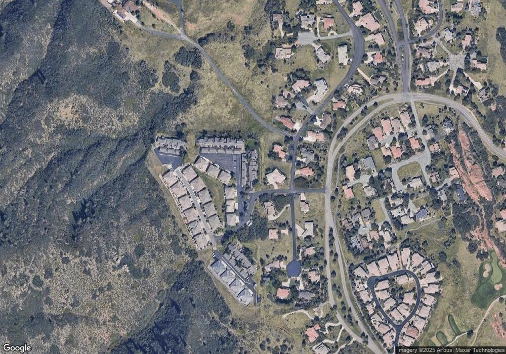
Map
Nearby Homes
- 6948 Buckskin Dr
- 6958 Buckskin Dr
- 6945 Fargo Trail
- 6941 Fargo Trail
- 6945 N Fargo Trail
- 10991 Expedition
- 6835 Surrey Trail
- 6874 Raspberry Run
- 6842 Raspberry Run
- 10506 Brown Fox Trail
- 7188 Raphael Ln
- 7208 Raphael Ln
- 11194 W Yucca
- 11234 W Yucca
- 6480 Willow Broom Trail
- 11196 Lost Arrow
- 6424 Willow Broom Trail
- 6753 Big Horn Trail
- 6324 Willow Broom Trail
- 6260 Rain Dance Trail
- 6952 Buckskin Dr
- 6948 Buckskin Dr Unit 80
- 6946 Buckskin Dr
- 6954 Buckskin Dr
- 6956 Buckskin Dr
- 6960 Buckskin Dr
- 6951 N Buckskin Dr
- 6955 Buckskin Dr
- 6925 Buckskin Dr
- 6964 Buckskin Dr
- 6966 Buckskin Dr
- 6921 Buckskin Dr
- 6915 N Buckskin Dr
- 6971 Buckskin Dr
- 6939 Beaver Run
- 6968 Buckskin Dr Unit 89
- 6915 Buckskin Dr Unit 6915
- 6915 Buckskin Dr
- 6975 Buckskin Dr
- 6974 Buckskin Dr