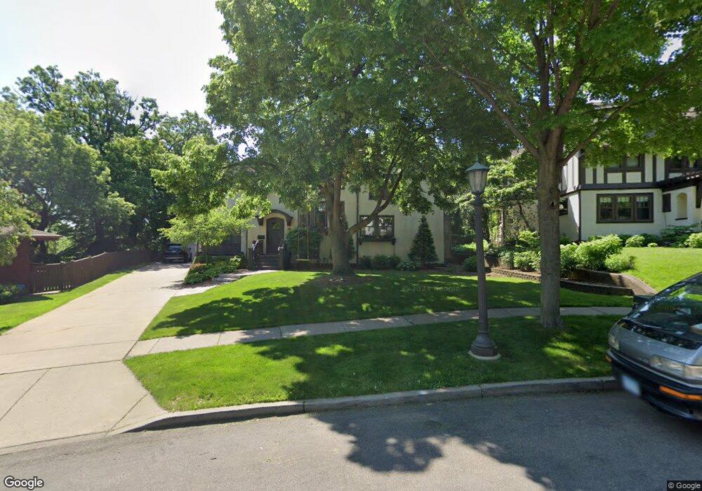
696 Linwood Ave Saint Paul, MN 55105
Summit Hill NeighborhoodEstimated Value: $1,276,170 - $1,354,000
5
Beds
5
Baths
4,278
Sq Ft
$305/Sq Ft
Est. Value
About This Home
This home is located at 696 Linwood Ave, Saint Paul, MN 55105 and is currently estimated at $1,305,390, approximately $305 per square foot. 696 Linwood Ave is a home located in Ramsey County with nearby schools including Randolph Heights Elementary School, Hidden River Middle School, and Central Senior High School.
Ownership History
Date
Name
Owned For
Owner Type
Purchase Details
Closed on
Mar 5, 2015
Sold by
Mahoney Brian D and Mahoney Jessica L
Bought by
Polcari Anthony and Polcari Ingrid
Current Estimated Value
Home Financials for this Owner
Home Financials are based on the most recent Mortgage that was taken out on this home.
Original Mortgage
$415,000
Interest Rate
3.6%
Mortgage Type
Unknown
Create a Home Valuation Report for This Property
The Home Valuation Report is an in-depth analysis detailing your home's value as well as a comparison with similar homes in the area
Home Values in the Area
Average Home Value in this Area
Purchase History
| Date | Buyer | Sale Price | Title Company |
|---|---|---|---|
| Polcari Anthony | $901,515 | Trademark Title Services Inc |
Source: Public Records
Mortgage History
| Date | Status | Borrower | Loan Amount |
|---|---|---|---|
| Closed | Polcari Anthony | $415,000 |
Source: Public Records
Tax History Compared to Growth
Tax History
| Year | Tax Paid | Tax Assessment Tax Assessment Total Assessment is a certain percentage of the fair market value that is determined by local assessors to be the total taxable value of land and additions on the property. | Land | Improvement |
|---|---|---|---|---|
| 2025 | $17,256 | $1,224,000 | $248,800 | $975,200 |
| 2023 | $17,256 | $1,019,200 | $248,800 | $770,400 |
| 2022 | $16,786 | $989,100 | $248,800 | $740,300 |
| 2021 | $17,092 | $946,800 | $248,800 | $698,000 |
| 2020 | $17,900 | $995,000 | $248,800 | $746,200 |
| 2019 | $17,034 | $960,500 | $248,800 | $711,700 |
| 2018 | $15,270 | $917,100 | $248,800 | $668,300 |
| 2017 | $14,508 | $849,800 | $248,800 | $601,000 |
| 2016 | $14,572 | $0 | $0 | $0 |
| 2015 | $13,412 | $811,000 | $246,600 | $564,400 |
| 2014 | $16,364 | $0 | $0 | $0 |
Source: Public Records
Map
Nearby Homes
- 670 Lincoln Ave
- 195 Oneida St
- 695 Lincoln Ave
- 657 Lincoln Ave
- 793 Goodrich Ave
- 614 Grand Ave Unit C
- 614 Grand Ave Unit 3EE
- 389 Osceola Ave S
- 385 Toronto St
- 635 Grand Ave Unit 4
- 857 Fairmount Ave
- 745 Grand Ave Unit 404
- 63 Avon St S Unit 36
- 51 Avon St S Unit 24
- 885 Linwood Ave
- 416 Daly St
- 28 Dale St S Unit A
- 270 7th St W
- 434 Arbor St
- 429 Bay St
- 700 Linwood Ave
- 809 Pleasant Ave
- 690 Linwood Ave
- 710 Linwood Ave
- 705 Linwood Ave
- 709 Linwood Ave
- 685 Linwood Ave
- 712 Linwood Ave
- 41 Kenwood Pkwy
- 715 Linwood Ave
- 44 Kenwood Pkwy
- 700 Osceola Ave
- 27 Kenwood Pkwy
- 722 Linwood Ave
- 708 Osceola Ave
- 42 Kenwood Pkwy
- 712 Osceola Ave
- 726 Linwood Ave
- 725 Linwood Ave
- 38 Kenwood Pkwy