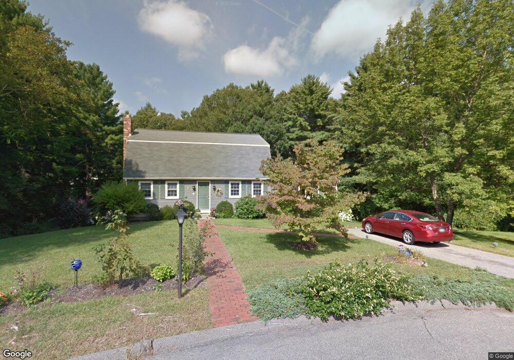
7 Dianne Cir Franklin, MA 02038
Estimated Value: $724,000 - $862,000
4
Beds
3
Baths
2,165
Sq Ft
$359/Sq Ft
Est. Value
About This Home
This home is located at 7 Dianne Cir, Franklin, MA 02038 and is currently estimated at $777,804, approximately $359 per square foot. 7 Dianne Cir is a home located in Norfolk County with nearby schools including Oak Street Elementary School, Horace Mann Middle School, and Franklin High School.
Ownership History
Date
Name
Owned For
Owner Type
Purchase Details
Closed on
Mar 5, 2020
Sold by
Gurrie Suzanne M
Bought by
Gurrie Ft
Current Estimated Value
Purchase Details
Closed on
Jan 31, 1983
Bought by
Gurrie Paul F and Gurrie Suzanne M
Create a Home Valuation Report for This Property
The Home Valuation Report is an in-depth analysis detailing your home's value as well as a comparison with similar homes in the area
Home Values in the Area
Average Home Value in this Area
Purchase History
| Date | Buyer | Sale Price | Title Company |
|---|---|---|---|
| Gurrie Ft | -- | None Available | |
| Gurrie Paul F | $74,900 | -- |
Source: Public Records
Mortgage History
| Date | Status | Borrower | Loan Amount |
|---|---|---|---|
| Previous Owner | Gurrie Paul F | $15,000 | |
| Previous Owner | Gurrie Paul F | $100,000 | |
| Previous Owner | Gurrie Paul F | $75,000 |
Source: Public Records
Tax History Compared to Growth
Tax History
| Year | Tax Paid | Tax Assessment Tax Assessment Total Assessment is a certain percentage of the fair market value that is determined by local assessors to be the total taxable value of land and additions on the property. | Land | Improvement |
|---|---|---|---|---|
| 2025 | $7,522 | $647,300 | $336,300 | $311,000 |
| 2024 | $7,309 | $619,900 | $336,300 | $283,600 |
| 2023 | $7,241 | $575,600 | $292,000 | $283,600 |
| 2022 | $6,627 | $471,700 | $221,300 | $250,400 |
| 2021 | $6,449 | $440,200 | $246,000 | $194,200 |
| 2020 | $6,014 | $414,500 | $229,700 | $184,800 |
| 2019 | $5,958 | $406,400 | $221,600 | $184,800 |
| 2018 | $5,621 | $383,700 | $217,600 | $166,100 |
| 2017 | $5,386 | $369,400 | $203,300 | $166,100 |
| 2016 | $5,058 | $348,800 | $205,900 | $142,900 |
| 2015 | $5,096 | $343,400 | $200,500 | $142,900 |
| 2014 | $4,607 | $318,800 | $175,900 | $142,900 |
Source: Public Records
Map
Nearby Homes
- 33 Daniels St
- 37 Daniels St
- 324 Pleasant St
- 266 Pleasant St
- 11 Elliot Mills Unit 11
- 11 Waites Crossing
- 20 Waites Crossing
- 19 Waites Crossing
- 9 Waites Crossing
- 13 Waites Crossing
- 12 Waites Crossing Way
- 70 Daniels St
- 204 Lincoln St
- 41 Myrtle St
- 0 Toils End Rd
- 48 Pinehurst St
- 17 Longhill Rd
- 150 Pleasant St
- 10 Silver Fox Rd
- 99 Leland Rd
- 10 Dianne Cir
- 7 Collela Dr
- 8 Dianne Cir
- 601 Pleasant St
- 595 Pleasant St
- 5 Collela Dr
- 5 Barbara Cir
- 641 Pleasant St
- 10 Collela Dr
- 12 Old Chestnut St
- 6 Barbara Cir
- 591 Pleasant St
- 12 Collela Dr
- 3 Barbara Cir
- 647 Pleasant St
- 626 Pleasant St
- 14 Old Chestnut St
- 10 Old Chestnut St
- 1 Barbara Cir
- 612 Pleasant St