7 Michael Townsend Ct Newark, DE 19702
Estimated Value: $531,000 - $632,000
4
Beds
3
Baths
2,773
Sq Ft
$208/Sq Ft
Est. Value
About This Home
This home is located at 7 Michael Townsend Ct, Newark, DE 19702 and is currently estimated at $577,614, approximately $208 per square foot. 7 Michael Townsend Ct is a home located in New Castle County with nearby schools including West Park Place Elementary School, Gauger-Cobbs Middle School, and Glasgow High School.
Ownership History
Date
Name
Owned For
Owner Type
Purchase Details
Closed on
Mar 24, 2020
Sold by
Kennedy Peter S
Bought by
Kennedy Peter S
Current Estimated Value
Purchase Details
Closed on
Sep 10, 2002
Sold by
Muirfield Associates Llc
Bought by
Kennedy Peter S and Kennedy Kelly A
Home Financials for this Owner
Home Financials are based on the most recent Mortgage that was taken out on this home.
Original Mortgage
$215,000
Outstanding Balance
$90,795
Interest Rate
6.39%
Estimated Equity
$486,819
Create a Home Valuation Report for This Property
The Home Valuation Report is an in-depth analysis detailing your home's value as well as a comparison with similar homes in the area
Home Values in the Area
Average Home Value in this Area
Purchase History
| Date | Buyer | Sale Price | Title Company |
|---|---|---|---|
| Kennedy Peter S | -- | None Available | |
| Kennedy Peter S | $294,180 | -- |
Source: Public Records
Mortgage History
| Date | Status | Borrower | Loan Amount |
|---|---|---|---|
| Open | Kennedy Peter S | $215,000 |
Source: Public Records
Tax History Compared to Growth
Tax History
| Year | Tax Paid | Tax Assessment Tax Assessment Total Assessment is a certain percentage of the fair market value that is determined by local assessors to be the total taxable value of land and additions on the property. | Land | Improvement |
|---|---|---|---|---|
| 2024 | $4,456 | $101,400 | $13,100 | $88,300 |
| 2023 | $4,340 | $101,400 | $13,100 | $88,300 |
| 2022 | $4,309 | $101,400 | $13,100 | $88,300 |
| 2021 | $4,217 | $101,400 | $13,100 | $88,300 |
| 2020 | $4,101 | $101,400 | $13,100 | $88,300 |
| 2019 | $3,765 | $101,400 | $13,100 | $88,300 |
| 2018 | $3,556 | $101,400 | $13,100 | $88,300 |
| 2017 | $3,434 | $101,400 | $13,100 | $88,300 |
| 2016 | $3,407 | $101,400 | $13,100 | $88,300 |
| 2015 | $3,115 | $101,400 | $13,100 | $88,300 |
| 2014 | $3,117 | $101,400 | $13,100 | $88,300 |
Source: Public Records
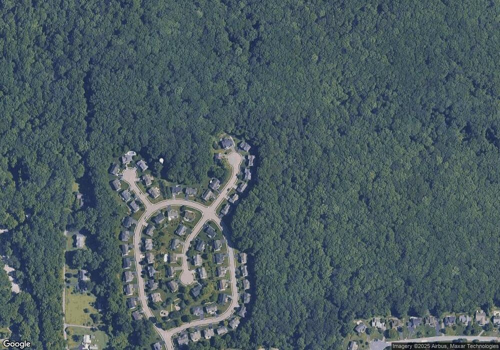
Map
Nearby Homes
- 1 Michael Townsend Ct
- 1581 Iron Hill Rd
- 1300 Waters Edge Dr Unit 1300
- 80 Welsh Tract Rd Unit 209
- 80 Welsh Tract Rd Unit 306
- 68 Welsh Tract Rd Unit 109
- 2809 Waters Edge Dr Unit 260
- 84 Welsh Tract Rd Unit 108
- 84 Welsh Tract Rd Unit 311
- 209 Waters Edge Dr Unit 20
- 1203 Independence Way Unit 6
- 107 Anita Dr
- 418 Douglas d Alley Dr
- 268 W Chestnut Hill Rd
- 37 Palo Ln
- 8 Spur Ridge Ct
- 724 Brook Dr
- 17 Oakview Dr
- 25 Glyn Dr
- 15 Charles Point
- 5 Michael Townsend Ct
- 9 Michael Townsend Ct
- 3 Michael Townsend Ct
- 11 Michael Townsend Ct
- 8 Michael Townsend Ct
- 10 Michael Townsend Ct
- 2 Michael Townsend Ct
- 65 Lynam Lookout Dr
- 58 Lynam Lookout Dr
- 64 Lynam Lookout Dr
- 67 Lynam Lookout Dr
- 56 Lynam Lookout Dr
- 55 Lynam Lookout Dr
- 66 Lynam Lookout Dr
- 5 Barbara Fleshman Ct
- 54 Lynam Lookout Dr
- 4 Barbara Fleshman Ct
- 1 Hollister Leigh Ct
- 53 Lynam Lookout Dr
- 9 Barbara Fleshman Ct