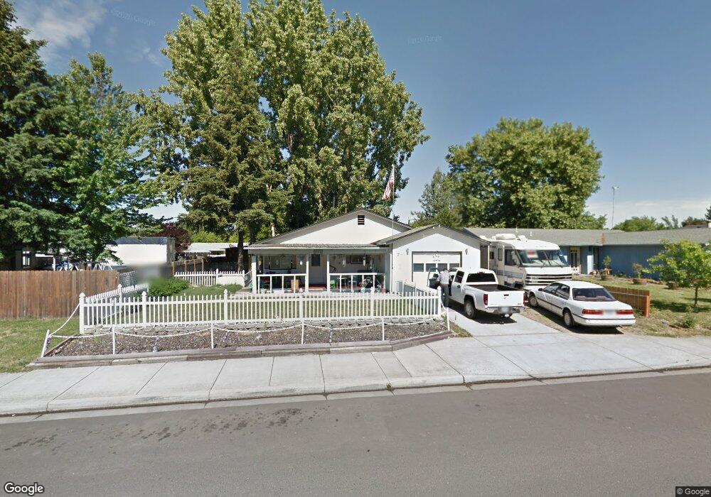
7 N Buchanan Ave Eagle Point, OR 97524
Estimated Value: $288,000 - $315,331
3
Beds
2
Baths
1,176
Sq Ft
$257/Sq Ft
Est. Value
About This Home
This home is located at 7 N Buchanan Ave, Eagle Point, OR 97524 and is currently estimated at $301,833, approximately $256 per square foot. 7 N Buchanan Ave is a home located in Jackson County with nearby schools including Eagle Rock Elementary School, Eagle Point Middle School, and White Mountain Middle School.
Ownership History
Date
Name
Owned For
Owner Type
Purchase Details
Closed on
Aug 23, 2021
Sold by
Adams Donald G and Adams Connie M
Bought by
Cryts Mickey and Smith Bailee
Current Estimated Value
Home Financials for this Owner
Home Financials are based on the most recent Mortgage that was taken out on this home.
Original Mortgage
$270,019
Outstanding Balance
$243,935
Interest Rate
2.9%
Mortgage Type
FHA
Estimated Equity
$57,898
Purchase Details
Closed on
Dec 23, 2019
Sold by
Adams Donald Gene and Adams Connie M
Bought by
Adams Donald G and Adams Connie M
Home Financials for this Owner
Home Financials are based on the most recent Mortgage that was taken out on this home.
Original Mortgage
$130,000
Interest Rate
3.7%
Mortgage Type
New Conventional
Create a Home Valuation Report for This Property
The Home Valuation Report is an in-depth analysis detailing your home's value as well as a comparison with similar homes in the area
Home Values in the Area
Average Home Value in this Area
Purchase History
| Date | Buyer | Sale Price | Title Company |
|---|---|---|---|
| Cryts Mickey | $275,000 | Ticor Title | |
| Adams Donald G | -- | First American |
Source: Public Records
Mortgage History
| Date | Status | Borrower | Loan Amount |
|---|---|---|---|
| Open | Cryts Mickey | $270,019 | |
| Previous Owner | Adams Donald G | $130,000 |
Source: Public Records
Tax History
| Year | Tax Paid | Tax Assessment Tax Assessment Total Assessment is a certain percentage of the fair market value that is determined by local assessors to be the total taxable value of land and additions on the property. | Land | Improvement |
|---|---|---|---|---|
| 2026 | $2,064 | $151,700 | -- | -- |
| 2025 | $2,015 | $147,290 | $52,700 | $94,590 |
| 2024 | $2,015 | $143,000 | $51,170 | $91,830 |
| 2023 | $1,947 | $138,840 | $49,680 | $89,160 |
| 2022 | $1,894 | $138,840 | $49,680 | $89,160 |
| 2021 | $1,838 | $134,800 | $48,240 | $86,560 |
| 2020 | $1,953 | $130,880 | $46,840 | $84,040 |
| 2019 | $1,923 | $123,370 | $44,160 | $79,210 |
| 2018 | $1,886 | $119,780 | $42,880 | $76,900 |
| 2017 | $1,840 | $119,780 | $42,880 | $76,900 |
| 2016 | $1,804 | $112,920 | $40,430 | $72,490 |
| 2015 | $1,745 | $112,920 | $40,430 | $72,490 |
| 2014 | $1,695 | $106,450 | $38,110 | $68,340 |
Source: Public Records
Map
Nearby Homes
- 71 Tracy Ave Unit 71 & 73
- 250 Tierra Cir
- 318 S Buchanan Ave
- 650 Sarah Ln
- 620 S Royal Ave
- 911 Stonewater Dr
- 917 Stonewater Dr
- 407 S Shasta Ave
- 522 Meadow Ln
- 1023 Highlands Dr
- 912 Stonewater Dr
- 403 N Deanjou Ave
- 925 Sellwood Dr
- 407 N Deanjou Ave
- 0 Crater Lake Hwy
- 621 S Shasta Ave
- 142 Onyx St
- 426 Westminster Dr
- 133 Edith Cir
- 633 E Archwood Dr Unit 89
Your Personal Tour Guide
Ask me questions while you tour the home.