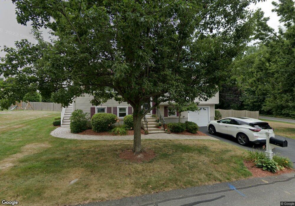
7 Northbrook Cir Milford, MA 01757
Estimated Value: $587,453 - $682,000
2
Beds
2
Baths
1,976
Sq Ft
$321/Sq Ft
Est. Value
About This Home
This home is located at 7 Northbrook Cir, Milford, MA 01757 and is currently estimated at $633,613, approximately $320 per square foot. 7 Northbrook Cir is a home located in Worcester County with nearby schools including Milford High School.
Ownership History
Date
Name
Owned For
Owner Type
Purchase Details
Closed on
Nov 22, 2002
Sold by
Alpha Bldg Corp
Bought by
Mcintyre John P and Mcintyre Ann M
Current Estimated Value
Home Financials for this Owner
Home Financials are based on the most recent Mortgage that was taken out on this home.
Original Mortgage
$187,000
Outstanding Balance
$78,614
Interest Rate
6.07%
Mortgage Type
Purchase Money Mortgage
Estimated Equity
$554,999
Purchase Details
Closed on
Jul 18, 2002
Sold by
Highland Ridge Corp
Bought by
Alpha Building Corp
Home Financials for this Owner
Home Financials are based on the most recent Mortgage that was taken out on this home.
Original Mortgage
$456,000
Interest Rate
6.73%
Mortgage Type
Purchase Money Mortgage
Purchase Details
Closed on
Mar 30, 1992
Sold by
Hughes John M
Bought by
Hughes Laura J and Hughes Julie
Create a Home Valuation Report for This Property
The Home Valuation Report is an in-depth analysis detailing your home's value as well as a comparison with similar homes in the area
Home Values in the Area
Average Home Value in this Area
Purchase History
| Date | Buyer | Sale Price | Title Company |
|---|---|---|---|
| Mcintyre John P | $570,000 | -- | |
| Alpha Building Corp | $135,000 | -- | |
| Hughes Laura J | $33,334 | -- |
Source: Public Records
Mortgage History
| Date | Status | Borrower | Loan Amount |
|---|---|---|---|
| Open | Hughes Laura J | $77,000 | |
| Open | Hughes Laura J | $187,000 | |
| Previous Owner | Hughes Laura J | $456,000 |
Source: Public Records
Tax History Compared to Growth
Tax History
| Year | Tax Paid | Tax Assessment Tax Assessment Total Assessment is a certain percentage of the fair market value that is determined by local assessors to be the total taxable value of land and additions on the property. | Land | Improvement |
|---|---|---|---|---|
| 2025 | $6,962 | $543,900 | $177,600 | $366,300 |
| 2024 | $6,773 | $509,600 | $170,500 | $339,100 |
| 2023 | $6,394 | $442,500 | $147,400 | $295,100 |
| 2022 | $6,093 | $395,900 | $135,000 | $260,900 |
| 2021 | $6,032 | $377,500 | $135,000 | $242,500 |
| 2020 | $5,924 | $371,200 | $135,000 | $236,200 |
| 2019 | $5,045 | $305,000 | $135,000 | $170,000 |
| 2018 | $4,849 | $292,800 | $131,400 | $161,400 |
| 2017 | $4,716 | $280,900 | $131,400 | $149,500 |
| 2016 | $4,513 | $262,700 | $131,400 | $131,300 |
| 2015 | $4,363 | $248,600 | $124,300 | $124,300 |
Source: Public Records
Map
Nearby Homes
- 5 Northbrook Cir
- 5 Lot 5a Northbrook Cir
- 9 Northbrook Cir
- 3 Northbrook Cir
- 20 Northbrook Cir
- 18 Northbrook Cir
- 11 Northbrook Cir
- 6 Northbrook Cir
- 4 Northbrook Cir
- 13 Esther Dr
- 11 Esther Dr
- 280 Purchase St
- 2 Northbrook Cir
- 286 Purchase St
- 282 Purchase St
- 276 Purchase St
- 9 Esther Dr
- 8 Sherwood Dr
- 8 Sherwood Dr Unit A
- 284 Purchase St