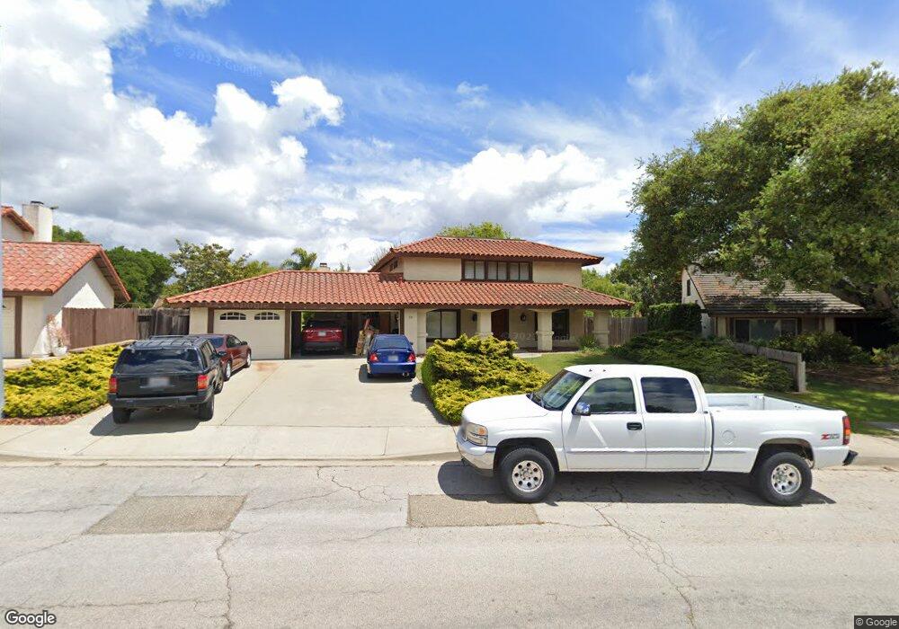
70 Galaxy Way Lompoc, CA 93436
Estimated Value: $774,000 - $833,000
4
Beds
3
Baths
2,440
Sq Ft
$330/Sq Ft
Est. Value
About This Home
This home is located at 70 Galaxy Way, Lompoc, CA 93436 and is currently estimated at $805,685, approximately $330 per square foot. 70 Galaxy Way is a home located in Santa Barbara County with nearby schools including Buena Vista Elementary School, Cabrillo High School, and Olive Grove Charter - Lompoc.
Ownership History
Date
Name
Owned For
Owner Type
Purchase Details
Closed on
Dec 7, 2004
Sold by
Madden Douglas P and Madden Beverly J
Bought by
Madden Douglas Paul and Madden Beverly Jean
Current Estimated Value
Create a Home Valuation Report for This Property
The Home Valuation Report is an in-depth analysis detailing your home's value as well as a comparison with similar homes in the area
Home Values in the Area
Average Home Value in this Area
Purchase History
| Date | Buyer | Sale Price | Title Company |
|---|---|---|---|
| Madden Douglas Paul | -- | Fidelity National Title |
Source: Public Records
Tax History
| Year | Tax Paid | Tax Assessment Tax Assessment Total Assessment is a certain percentage of the fair market value that is determined by local assessors to be the total taxable value of land and additions on the property. | Land | Improvement |
|---|---|---|---|---|
| 2025 | $3,790 | $324,562 | $91,583 | $232,979 |
| 2023 | $3,790 | $311,961 | $88,028 | $223,933 |
| 2022 | $3,730 | $305,845 | $86,302 | $219,543 |
| 2021 | $3,768 | $299,849 | $84,610 | $215,239 |
| 2020 | $3,730 | $296,775 | $83,743 | $213,032 |
| 2019 | $3,674 | $290,956 | $82,101 | $208,855 |
| 2018 | $3,622 | $285,252 | $80,492 | $204,760 |
| 2017 | $3,471 | $279,660 | $78,914 | $200,746 |
| 2016 | $3,141 | $274,177 | $77,367 | $196,810 |
| 2014 | $3,072 | $264,770 | $74,713 | $190,057 |
Source: Public Records
Map
Nearby Homes
- 6 Stanford Cir
- 73 Stanford Cir
- 372 Oak Hill Dr
- 4173 Oakwood Ct
- 113 Gemini Ave
- 0 Oak Hill Dr Unit 24-783
- 649 Burning Tree Way
- 240 Oak Hill Dr
- 232 Vega Ave
- 250 Saint Andrews Way
- 372 Falcon Crest Dr
- 3939 Mesa Circle Dr
- 3922 Mesa Circle Dr
- 3916 Mesa Circle Dr Unit A
- 3725 Jupiter Ave
- 1445 Calle Marana
- 3660 Rucker Rd
- 972 Pellham Dr
- 832 Onstott Rd
- 892 Onstott Rd
Your Personal Tour Guide
Ask me questions while you tour the home.