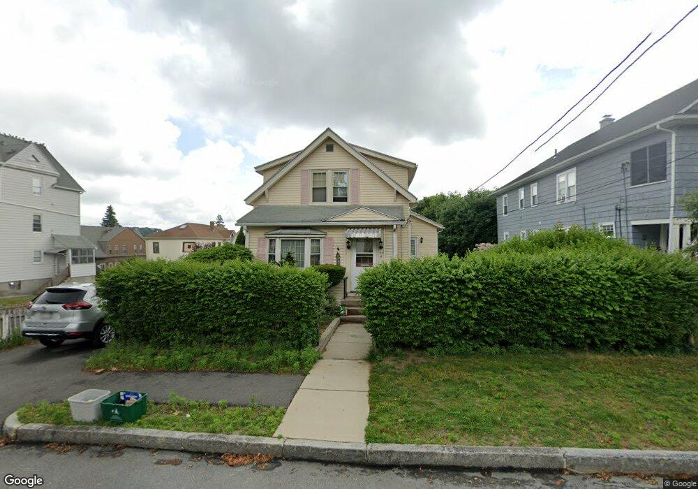
70 Tower St Worcester, MA 01606
Indian Lake East NeighborhoodEstimated Value: $405,435 - $518,000
3
Beds
2
Baths
1,600
Sq Ft
$280/Sq Ft
Est. Value
About This Home
This home is located at 70 Tower St, Worcester, MA 01606 and is currently estimated at $447,859, approximately $279 per square foot. 70 Tower St is a home located in Worcester County with nearby schools including Francis J. McGrath Elementary School, Jacob Hiatt Magnet School, and Chandler Magnet.
Ownership History
Date
Name
Owned For
Owner Type
Purchase Details
Closed on
Mar 11, 2013
Sold by
Miller Andrea M
Bought by
Perrin David F and Perrin Andrea M
Current Estimated Value
Home Financials for this Owner
Home Financials are based on the most recent Mortgage that was taken out on this home.
Original Mortgage
$186,000
Outstanding Balance
$128,894
Interest Rate
3.45%
Mortgage Type
New Conventional
Estimated Equity
$318,965
Purchase Details
Closed on
Jun 27, 2000
Sold by
Dopico Alejandro M and Dopico Maria J
Bought by
Perrin David F and Miller Andrea M
Home Financials for this Owner
Home Financials are based on the most recent Mortgage that was taken out on this home.
Original Mortgage
$121,125
Interest Rate
8.48%
Mortgage Type
Purchase Money Mortgage
Purchase Details
Closed on
Jun 23, 1999
Sold by
Wilson Raymond P and Wilson Charleotte F
Bought by
Dopico Alejandro M and Dopico Maria J
Home Financials for this Owner
Home Financials are based on the most recent Mortgage that was taken out on this home.
Original Mortgage
$113,050
Interest Rate
7.09%
Mortgage Type
Purchase Money Mortgage
Create a Home Valuation Report for This Property
The Home Valuation Report is an in-depth analysis detailing your home's value as well as a comparison with similar homes in the area
Home Values in the Area
Average Home Value in this Area
Purchase History
| Date | Buyer | Sale Price | Title Company |
|---|---|---|---|
| Perrin David F | -- | -- | |
| Perrin David F | $127,500 | -- | |
| Dopico Alejandro M | $119,000 | -- |
Source: Public Records
Mortgage History
| Date | Status | Borrower | Loan Amount |
|---|---|---|---|
| Open | Perrin David F | $186,000 | |
| Previous Owner | Perrin David F | $121,125 | |
| Previous Owner | Dopico Alejandro M | $113,050 |
Source: Public Records
Tax History
| Year | Tax Paid | Tax Assessment Tax Assessment Total Assessment is a certain percentage of the fair market value that is determined by local assessors to be the total taxable value of land and additions on the property. | Land | Improvement |
|---|---|---|---|---|
| 2025 | $4,610 | $349,500 | $97,500 | $252,000 |
| 2024 | $4,412 | $320,900 | $97,500 | $223,400 |
| 2023 | $4,252 | $296,500 | $84,800 | $211,700 |
| 2022 | $3,938 | $258,900 | $67,900 | $191,000 |
| 2021 | $3,839 | $235,800 | $54,300 | $181,500 |
| 2020 | $3,657 | $215,100 | $54,300 | $160,800 |
| 2019 | $3,523 | $195,700 | $48,800 | $146,900 |
| 2018 | $3,513 | $185,800 | $48,800 | $137,000 |
| 2017 | $3,365 | $175,100 | $48,800 | $126,300 |
| 2016 | $3,374 | $163,700 | $36,300 | $127,400 |
| 2015 | $3,285 | $163,700 | $36,300 | $127,400 |
| 2014 | $3,199 | $163,700 | $36,300 | $127,400 |
Source: Public Records
Map
Nearby Homes
- 64 Tower St Unit 66
- 64 & 66 Tower St
- 78 Tower St
- 78 Tower St Unit 2
- 17 Boardman St
- 58 Tower St
- 58 Tower St Unit 2
- 58 Tower St Unit 3
- 25 Boardman St
- 25 Boardman St Unit 3
- 25 Boardman St Unit 2
- 25 Boardman St Unit 1
- 27 Boardman St
- 67 Tower St
- 15 & 87 Boardman St Wboylston
- 82 Tower St
- 82 Tower St Unit 3
- 82 Tower St Unit B
- 82 Tower St Unit 2
- 65 Tower St
Your Personal Tour Guide
Ask me questions while you tour the home.