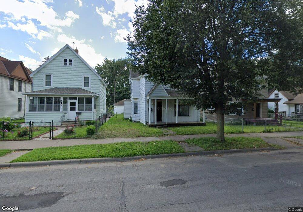
702 Thomas Ave Saint Paul, MN 55104
Frogtown NeighborhoodEstimated Value: $233,000 - $318,000
About This Home
This home is located at 702 Thomas Ave, Saint Paul, MN 55104 and is currently estimated at $261,767, approximately $125 per square foot. 702 Thomas Ave is a home located in Ramsey County with nearby schools including Maxfield Magnet Elementary School, Hidden River Middle School, and Central Senior High School.
Ownership History
We collect this data history from publicly available records. To have your information removed, we recommend requesting removal directly through your county’s website.
Purchase Details
Purchase Details
Home Values in the Area
Average Home Value in this Area
Purchase History
We collect this data history from publicly available records. To have your information removed, we recommend requesting removal directly through your county’s website.
| Date | Buyer | Sale Price | Title Company |
|---|---|---|---|
| $115,000 | -- | ||
| $70,000 | -- |
Tax History
We collect this data history from publicly available records. To have your information removed, we recommend requesting removal directly through your county’s website.
| Year | Tax Paid | Tax Assessment Tax Assessment Total Assessment is a certain percentage of the fair market value that is determined by local assessors to be the total taxable value of land and additions on the property. | Land | Improvement |
|---|---|---|---|---|
| 2025 | $4,014 | $210,300 | $25,000 | $185,300 |
| 2023 | $4,014 | $169,500 | $20,000 | $149,500 |
| 2022 | $3,276 | $133,100 | $20,000 | $113,100 |
| 2021 | $3,522 | $107,800 | $20,000 | $87,800 |
| 2020 | $3,316 | $121,700 | $10,100 | $111,600 |
| 2019 | $2,984 | $114,000 | $10,100 | $103,900 |
| 2018 | $2,108 | $97,300 | $10,100 | $87,200 |
| 2017 | $2,762 | $89,900 | $11,200 | $78,700 |
| 2016 | $4,764 | $0 | $0 | $0 |
| 2015 | $1,690 | $69,900 | $11,200 | $58,700 |
| 2014 | $1,918 | $0 | $0 | $0 |
Map
- 658 Edmund Ave
- 743 Charles Ave
- 719 Sherburne Ave
- 677 Sherburne Ave
- 686 Sherburne Ave
- 602 Edmund Ave
- 792 Charles Ave
- 663 Van Buren Ave
- 827 Lafond Ave
- 687 Aurora Ave
- 813 Blair Ave
- 804 Sherburne Ave
- 667 Aurora Ave
- 633 Kent St
- 757 Minnehaha Ave W
- 771 Aurora Ave
- 538 Charles Ave
- 813 Minnehaha Ave W
- 764 Fuller Ave
- 799 Fuller Ave
- 706 Thomas Ave
- 698 Thomas Ave
- 712 Thomas Ave
- 694 Thomas Ave
- 714 Thomas Ave
- 690 Thomas Ave
- 701 Edmund Ave
- 705 Edmund Ave
- 699 Edmund Ave
- 718 Thomas Ave
- 686 Thomas Ave
- 711 Edmund Ave
- 711 Edmund Ave
- 711 Edmund Ave Unit 2
- 711 Edmund Ave Unit 1
- 707 Thomas Ave
- 695 Edmund Ave
- 715 Edmund Ave
- 691 Edmund Ave
- 703 Thomas Ave
Ask me questions while you tour the home.