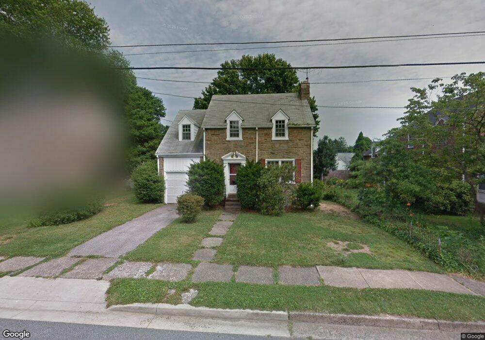
702 Woodside Ave Wilmington, DE 19809
Estimated Value: $196,000 - $380,896
3
Beds
2
Baths
1,382
Sq Ft
$227/Sq Ft
Est. Value
About This Home
This home is located at 702 Woodside Ave, Wilmington, DE 19809 and is currently estimated at $313,974, approximately $227 per square foot. 702 Woodside Ave is a home located in New Castle County with nearby schools including Mount Pleasant Elementary School, Pierre S. Dupont Middle School, and Mount Pleasant High School.
Ownership History
Date
Name
Owned For
Owner Type
Purchase Details
Closed on
Jul 12, 2017
Sold by
Dudliv Zinoviy and Antidze Mariam
Bought by
Dudliv Zinoviy
Current Estimated Value
Purchase Details
Closed on
Feb 17, 2016
Sold by
Welch Christine A and Estate Of Thomas J Yborra Iii
Bought by
Antidze Dudliv Zinoviy and Antidze Mariam
Purchase Details
Closed on
Jan 5, 2013
Bought by
Welch Christine Anne
Create a Home Valuation Report for This Property
The Home Valuation Report is an in-depth analysis detailing your home's value as well as a comparison with similar homes in the area
Home Values in the Area
Average Home Value in this Area
Purchase History
| Date | Buyer | Sale Price | Title Company |
|---|---|---|---|
| Dudliv Zinoviy | -- | None Available | |
| Antidze Dudliv Zinoviy | $110,000 | Attorney | |
| Welch Christine Anne | -- | -- |
Source: Public Records
Tax History Compared to Growth
Tax History
| Year | Tax Paid | Tax Assessment Tax Assessment Total Assessment is a certain percentage of the fair market value that is determined by local assessors to be the total taxable value of land and additions on the property. | Land | Improvement |
|---|---|---|---|---|
| 2024 | $2,354 | $60,300 | $10,700 | $49,600 |
| 2023 | $2,157 | $60,300 | $10,700 | $49,600 |
| 2022 | $2,182 | $60,300 | $10,700 | $49,600 |
| 2021 | $1,633 | $60,300 | $10,700 | $49,600 |
| 2020 | $2,180 | $60,300 | $10,700 | $49,600 |
| 2019 | $56 | $60,300 | $10,700 | $49,600 |
| 2018 | $2,086 | $60,300 | $10,700 | $49,600 |
| 2017 | $2,055 | $60,300 | $10,700 | $49,600 |
| 2016 | $2,050 | $60,300 | $10,700 | $49,600 |
| 2015 | $1,889 | $60,300 | $10,700 | $49,600 |
| 2014 | $1,888 | $60,300 | $10,700 | $49,600 |
Source: Public Records
Map
Nearby Homes
- 705 Phillips Ave
- 304 Chestnut Ave
- 1213 Talley Rd
- 1103 Melrose Ave
- 1107 Haines Ave
- 526 Brighton Rd
- 302 River Rd Unit D8
- 607 Brighton Rd
- 47 N Pennewell Dr
- 1100 Lore Ave Unit 509
- 5 Blue Rock Rd
- 18 S Pennewell Dr
- 0 Bell Hill Rd
- 8506 Park Ct Unit 8506
- 512 Eskridge Dr
- 2212 Heather Ct Unit 2212
- 1507 Spring Ln
- 6201 Highland Ct Unit 6201
- 5215 Le Parc Dr Unit 2
- 5219 Le Parc Dr Unit 2
- 704 Woodside Ave
- 700 Woodside Ave
- 703 Phillips Ave
- 706 Woodside Ave
- 701 Phillips Ave
- 707 Phillips Ave
- 703 Woodside Ave
- 705 Woodside Ave
- 701 Woodside Ave
- 708 Woodside Ave
- 206 Maple Ave
- 206 Maple Ave
- 707 Woodside Ave
- 200 Maple Ave
- 202 Maple Ave
- 709 Phillips Ave
- 204 Maple Ave
- 709 Woodside Ave
- 710 Woodside Ave
- 301 Maple Ave